Norway
  Deutsch
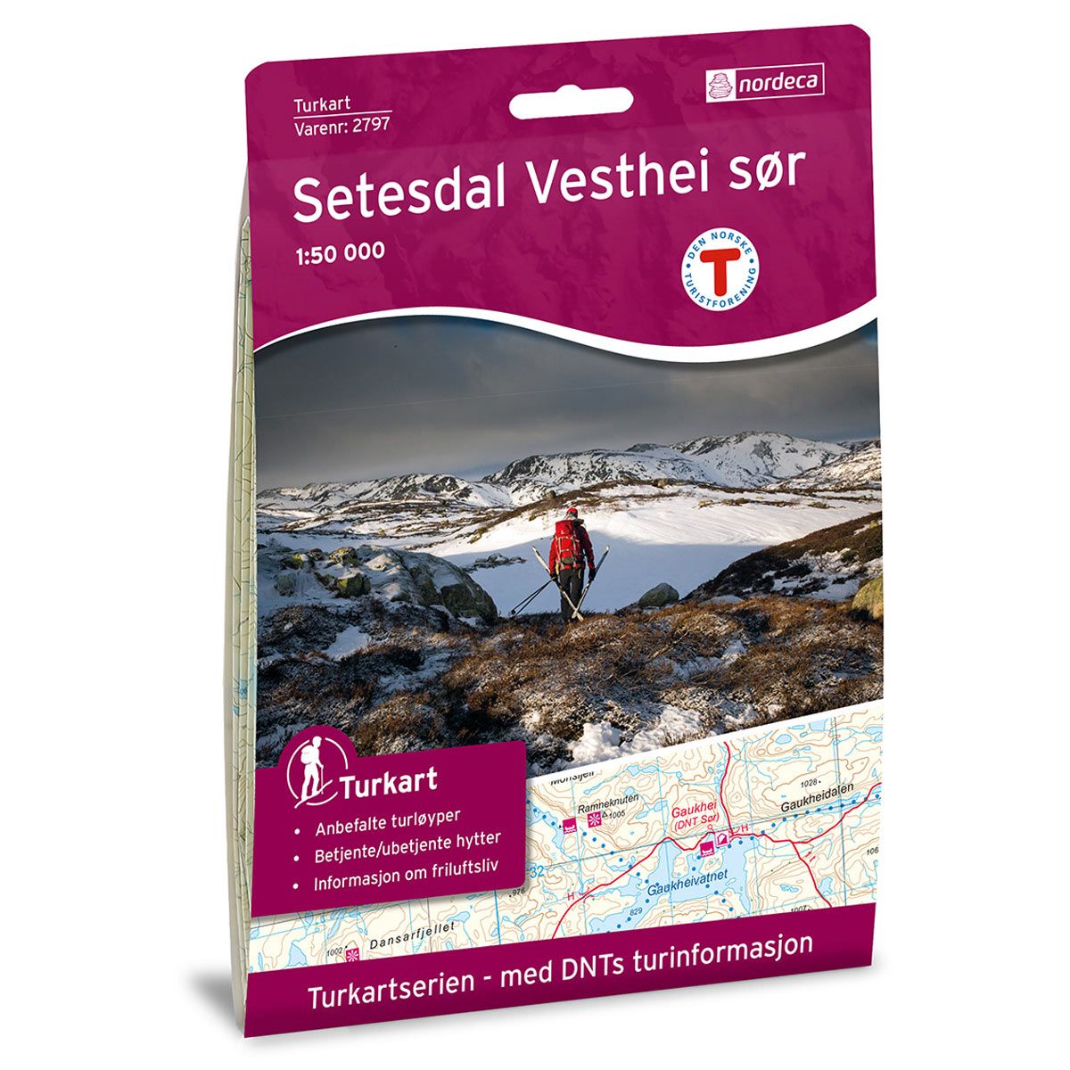
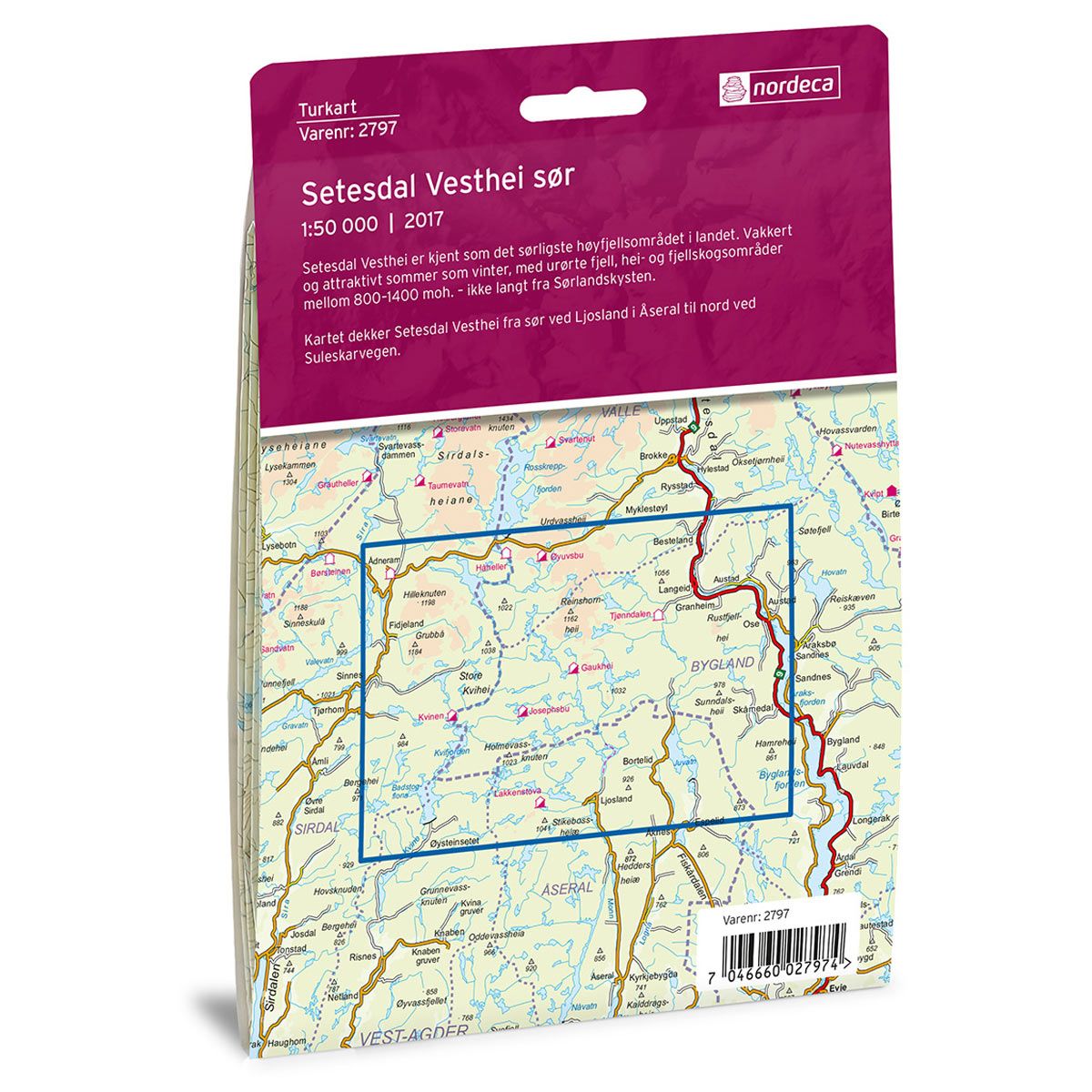
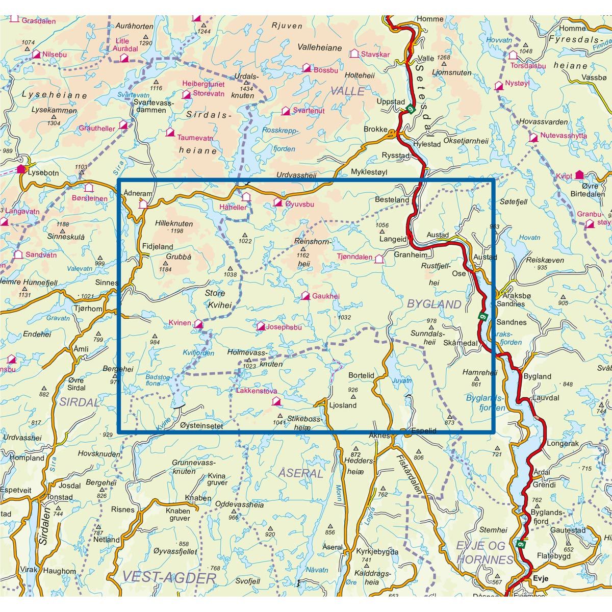
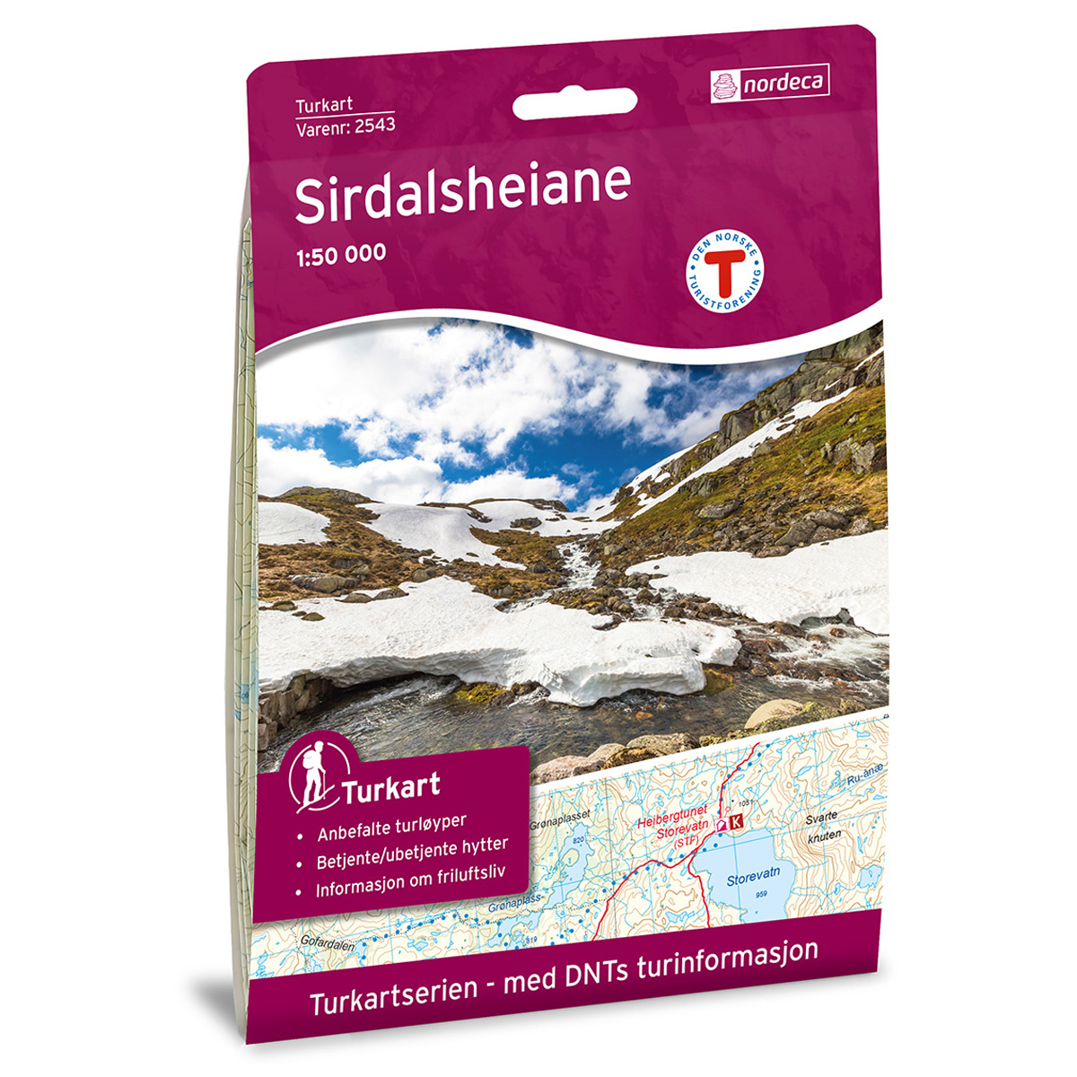

Setesdal Vesthei Sør DNT hiking map
Map with Norwegian Trekking Association information about trails and cabins.
- The map covers Juvatn, Kvifjorden, Otra, Rustfjellhei og Setesdal
- Scale 1:50 000 in water resistant material
€24.00
In stock
| Brand | Nordic Maps |
|---|---|
| SKU | 2797 |
| Map size | 70x100 cm |
| Scale | 1: 50 000 |
| Trails | Hiking trails |
| Updated | 2017 |
| Material | Plastic fiber |
| Map usage | Hiking, Cross Country |
| Accommodation | Serviced cabins, Unattended cabins, Self-catering cottages, hotels |
| EAN | 7046660027974 |
| Partner | The Norwegian Trekking Association |
| Map both sides | No |
| Country | Norway |
| Destinations | Juvatn, Kvifjorden, Otra, Rustfjellhei, Setesdal |
| Format | Foldable |
| Language | Norwegian, English |
| Series | Hiking maps |
Setesdal Vesthei is known as the southernmost alpine area in the country. Beautiful and popular in both summer and winter, with untouched, forest-covered hills and mountains between 800 and 1400 masl, - and not far from the southern Norwegian coast. The map covers Setesdal Vesthei from the south by Ljosland in Åseral to the north by Suleskarvegen.
DNT hiking maps
This map series was developed in cooperation with The Norwegian Trekking Association (DNT) and contains DNT trails, cabins and other useful trekking information. A few of the maps also have ski trails.
The DNT maps are published in three different scales (levels of detail).
1:25 000 for more defined and detailed information. Suitable for shorter treks.
1:50 000 is the optimal scale for treks.
1:100 000 offers a good overview of larger areas and is useful when planning trips.
The maps are printed on durable and weatherproof plastic fibre or paper material.
Language: Norwegian and English