
 Norway
  Deutsch
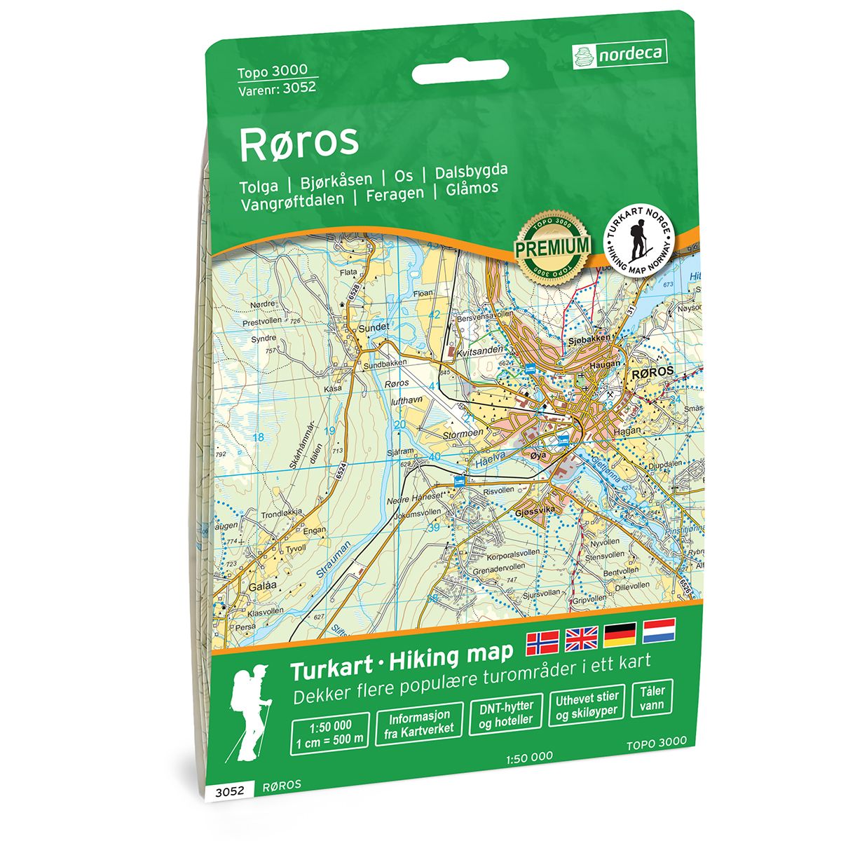
Røros Topo 3000 hiking map
Covers popular trekking areas with highlighted trekking information
- The map covers Tolga, Bjørkåsen, Os, Narjordet, Dalsbygda
- Scale 1:50 000 in water resistant material
€25.00
In stock
| Brand | Nordic Maps |
|---|---|
| SKU | 3052 |
| Map size | 70x100 cm |
| Scale | 1: 50 000 |
| Trails | Hiking trails |
| Updated | 2021 |
| Material | Plastic fiber |
| Map usage | Hiking, Cross Country |
| Accommodation | Serviced cabins, Unattended cabins, Self-catering cottages, hotels |
| Cabins in the map | Narjordet, Røvollen, Fjølburøsta( selvbetjent) |
| Map both sides | Yes |
| Country | Norway |
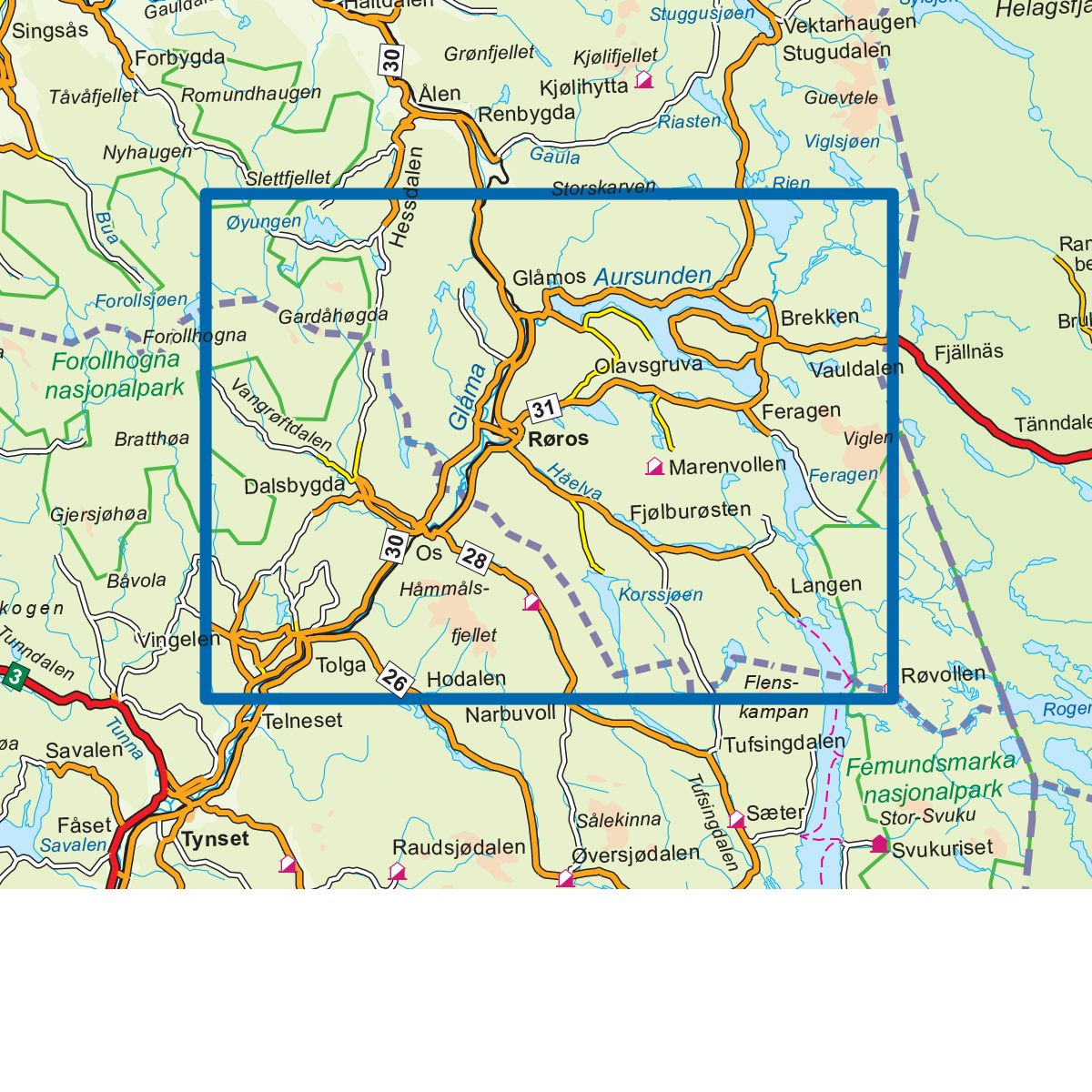
| Destinations | Tolga, Bjørkåsen, Os, Narjordet, Dalsbygda, Vangrøftdalen, Hessjøen, Feragen, Skåkåsfjellet, Glåmos |
| Format | Foldable |
| Language | Norwegian, English, German, Dutch |
| Series | Topo 3000 |
Topo 3000 Røros is a detailed map covering over 3000 km2. The map covers several popular and beautiful hiking areas in the Røros region. The open and vast mountain landscape invites to great summit hikes all year round. Gråhøgda is a great mountain hike with fantastic views in all directions and is well worth a visit. In addition, the map covers the areas Tolga, Dalsbygda, Glåmos and Lake Øyungen. The area around Øyungen offers many great opportunities for, among other things, cycling in a beautiful mountain landscape that gives you a fantastic nature experience. The DNT cabin Røvollen is a good starting point for further trips, whether you want to try your luck fishing in Femunden or the Røa river in the summer or go on ski trips in Femundsmarka in the winter. Example of cabins in the map: Narjordet, Røvollen, Fjølburøsta.
Topo 3000
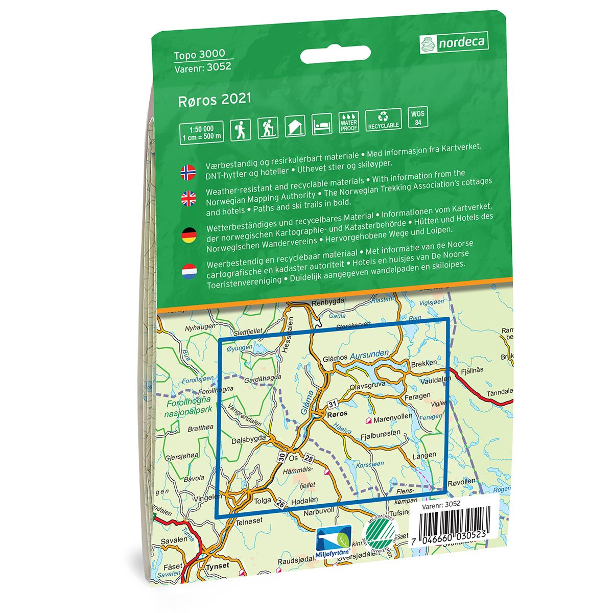
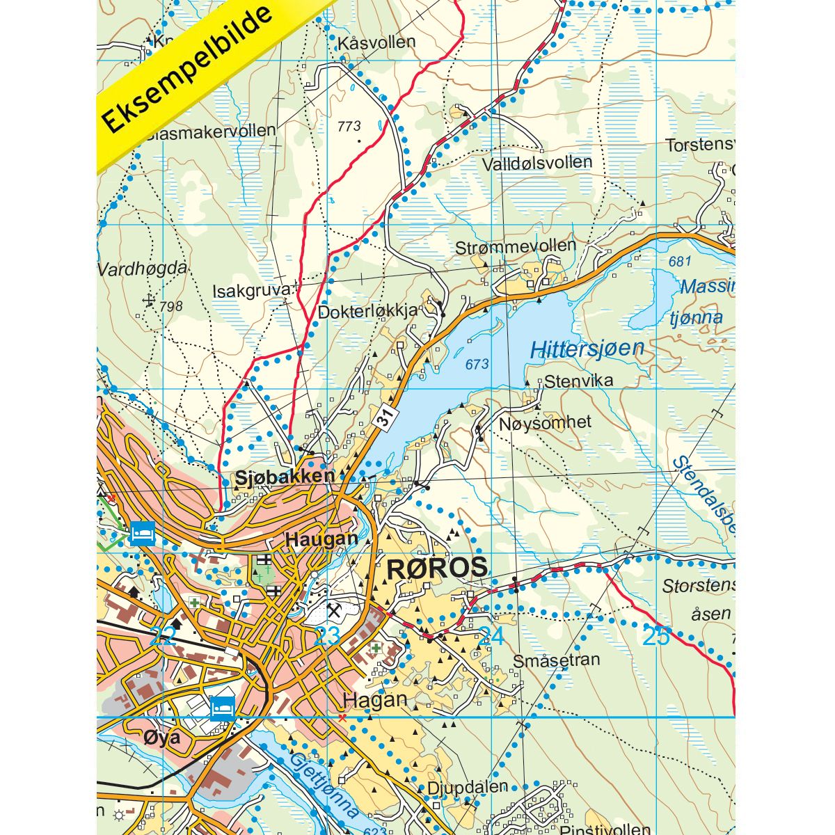
Topo 3000 is a detailed trail 1:50,000 scaled map with information from the Norwegian Mapping Authority. The map includes hiking trails, skiing trails and overnight accommodations. Trekking information is in bold type for better legibility. The trail map covers more than 3000 km2 and has been adapted to include several popular trekking areas.
The maps are printed on durable and weatherproof plastic fibre or paper material.
The series is continuously being updated to four different languages: Norwegian, English, German and Dutch.