Norway
  Deutsch
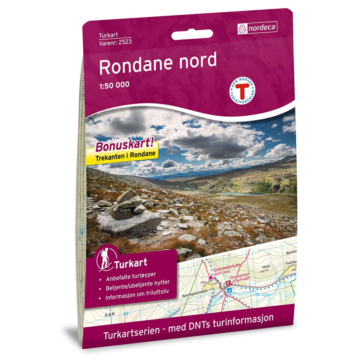

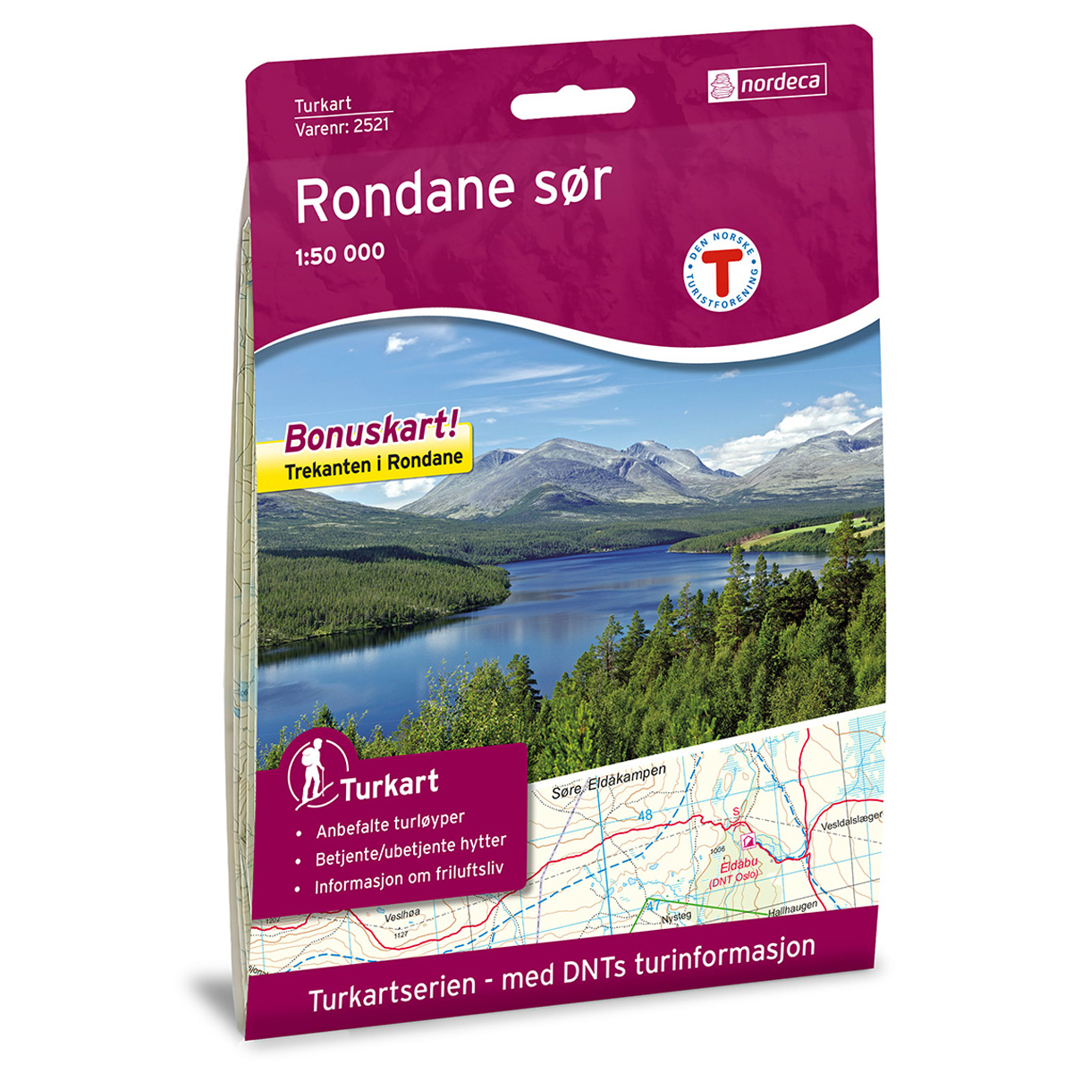

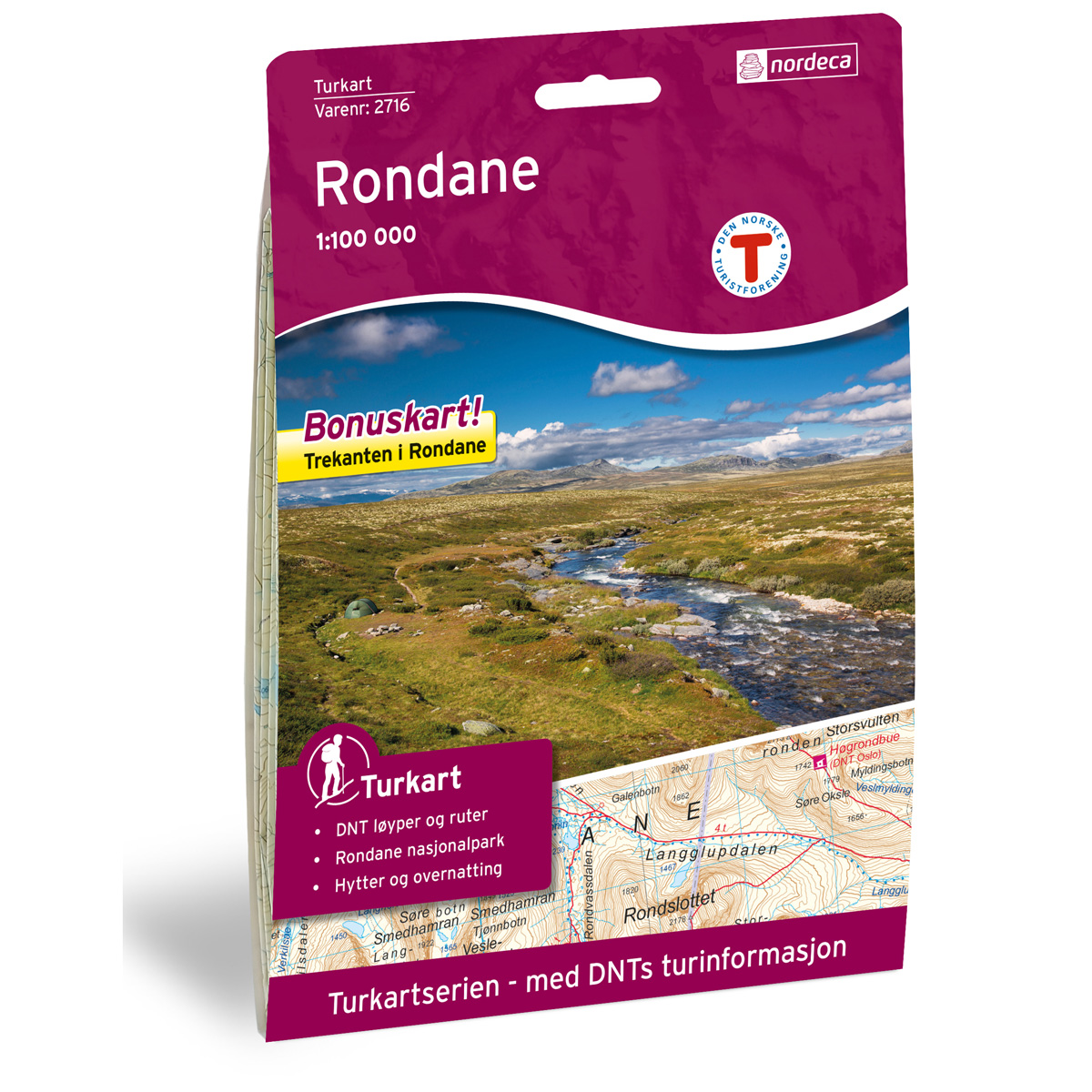
Rondane Nord DNT hiking map
Map with Norwegian Trekking Association information about trails and cabins.
- The map covers Gudbrandsdalen, Rondane nasjonalpark og Rondslottet
- Scale 1:50 000 in water resistant material
- Bonus map: Trekanten in Rondane
€24.00
In stock
| Brand | Nordic Maps |
|---|---|
| SKU | 2523 |
| Map size | 70x100 cm |
| Scale | 1: 50 000 |
| Trails | Hiking trails |
| Updated | 2016 |
| Material | Plastic fiber |
| Map usage | Hiking, Cross Country |
| Accommodation | Serviced cabins, Unattended cabins, Self-catering cottages, hotels |
| Bonus map | Trekanten i Rondane |
| EAN | 7046660025239 |
| Cabins in the map | Rondane høyfjellshotell, Mysuseter fjellosji, Putten Seter, Krokåtbekkbue, Smuksjøseter fjellstue, Rondvassbu, Bjørnhollia, Gråhøbue, Høgrondbue, Dørålseter, Haverdalsseter, Fallet Nordre, Grimsdalshytta, Folldal fjellhotell, Folldal Gruver, Hjerkinn fjellgard, Hageseter, Hjerkinn fjellstue, Hjerkinnhus |
| Partner | The Norwegian Trekking Association |
| Map both sides | No |
| Country | Norway |
| Destinations | Folldal, Folldalen, Grimsdalen, Grimse, Gudbrandsdalen, Hjerkinn, Rondane, Rondane nasjonalpark, Rondslottet |
| Format | Foldable |
| Language | Norwegian, English |
| Series | Hiking maps |
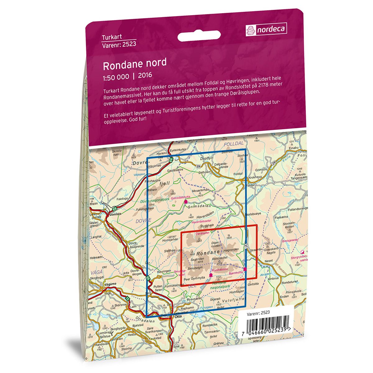
The Rondane North Trail Map covers the area between Folldal and Høvringen, including all of the Rondane massif. You can get a panoramic view from the top of Rondslottet mountain at 2178 masl, or bring the mountain closer to you along the narrow Dørålsglupen trail.
A well-established network of trails and cabins belonging to the Norwegian Trekking Association will help to ensure a good trekking experience.
DNT hiking maps
This map series was developed in cooperation with The Norwegian Trekking Association (DNT) and contains DNT trails, cabins and other useful trekking information. A few of the maps also have ski trails.
The DNT maps are published in three different scales (levels of detail).
1:25 000 for more defined and detailed information. Suitable for shorter treks.
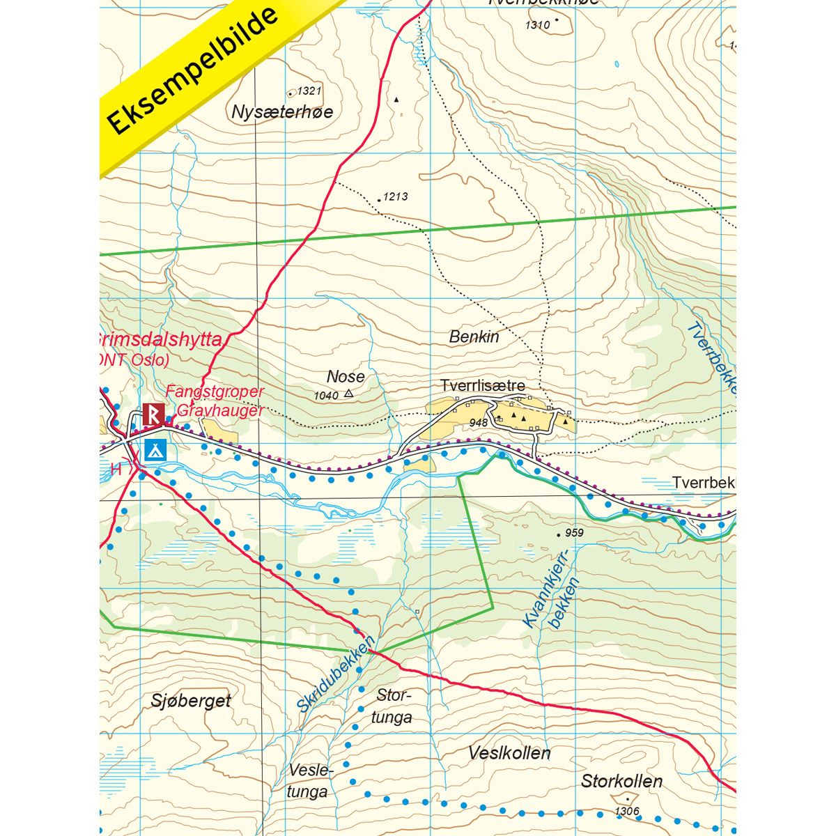
1:50 000 is the optimal scale for treks.
1:100 000 offers a good overview of larger areas and is useful when planning trips.
The maps are printed on durable and weatherproof plastic fibre or paper material.
Language: Norwegian and English
This map series was developed in cooperation with The Norwegian Trekking Association (DNT) and contains DNT trails, cabins and other useful trekking information. A few of the maps also have ski trails.
The DNT maps are published in three different scales (levels of detail).
1:25 000 for more defined and detailed information. Suitable for shorter treks.
1:50 000 is the optimal scale for treks.
1:100 000 offers a good overview of larger areas and is useful when planning trips.
The maps are printed on durable and weatherproof plastic fibre or paper material.
Language: Norwegian and English