
 Norway
  Deutsch
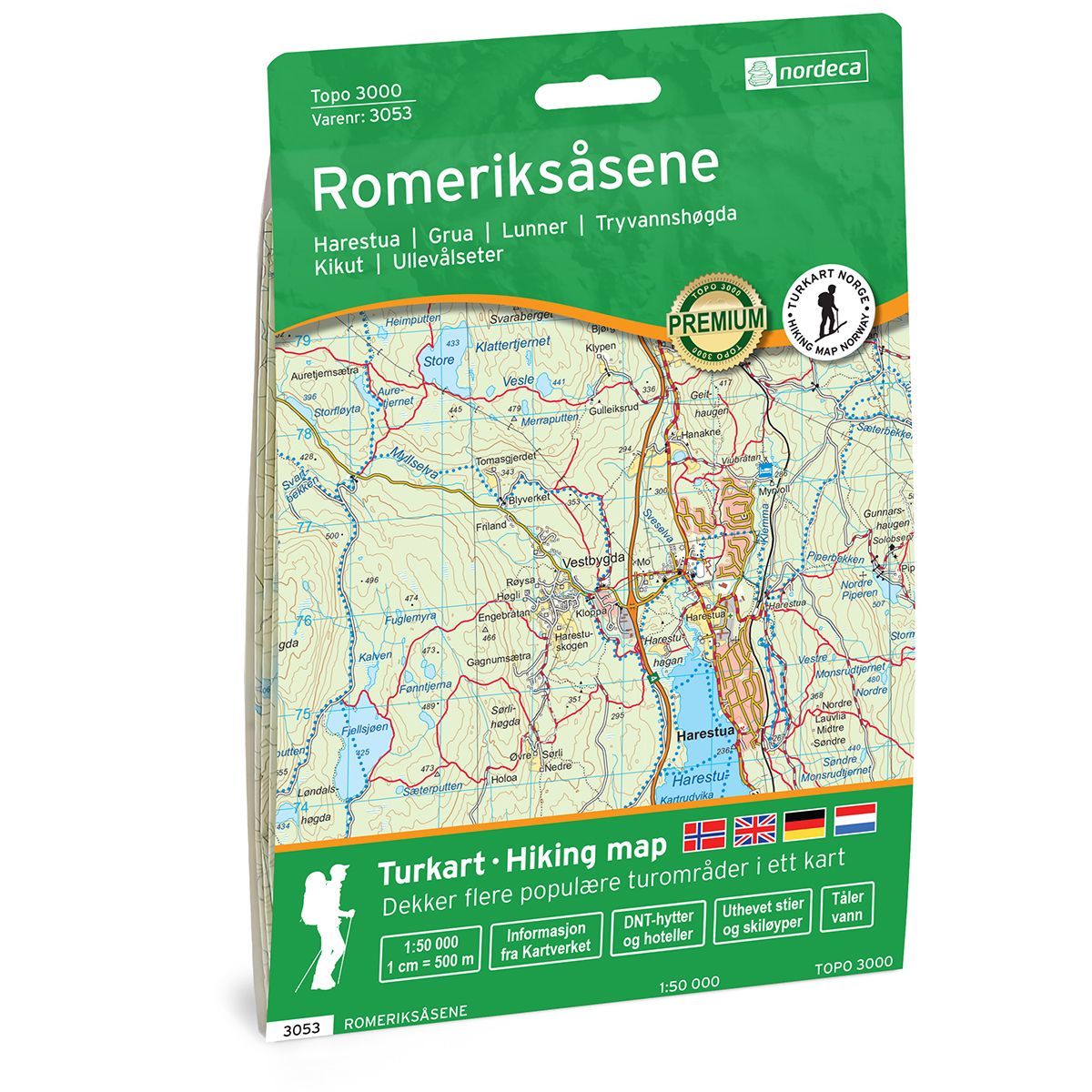
Romeriksåsene Topo 3000 hiking map
- The map covers Harestua, Grua, Lunner, Tryvannshøgda, Kikut, Ullevålseter, Lørenfallet, Jessheim, Kjerkehøgda
- Scale 1:50 000 in water resistant material
| Brand | Nordic Maps |
|---|---|
| SKU | 3053 |
| Map size | 70x100 cm |
| Scale | 1: 50 000 |
| Trails | Hiking trails |
| Updated | 2021 |
| Material | Plastic fiber |
| Map usage | Hiking, Cross Country |
| Accommodation | Serviced cabins, Unattended cabins, Self-catering cottages, hotels |
| Cabins in the map | Ullevålseter, Finnerud, Kobberhaughytta, Smedmyrkoia, Bjørnholt, Tømtehytta, Tryvannsstua, Nordmarkskapellet, Skjennungstua, Sinober, Røverhula, Fjellvang, Nydalshytta, Lilloseter, Spikertjernhytta, Gørjahytta, Kikutstua, Katnosdammen, Råbjørnhytta, Vikkelihytta, |
| Map both sides | Yes |
| Country | Norway |
| Destinations | Harestua, Grua, Lunner, Tryvannshøgda, Kikut, Ullevålseter, Lørenfallet, Jessheim, Kjerkehøgda |
| Format | Foldable |
| Language | Norwegian, English, German, Dutch |
| Series | Topo 3000 |
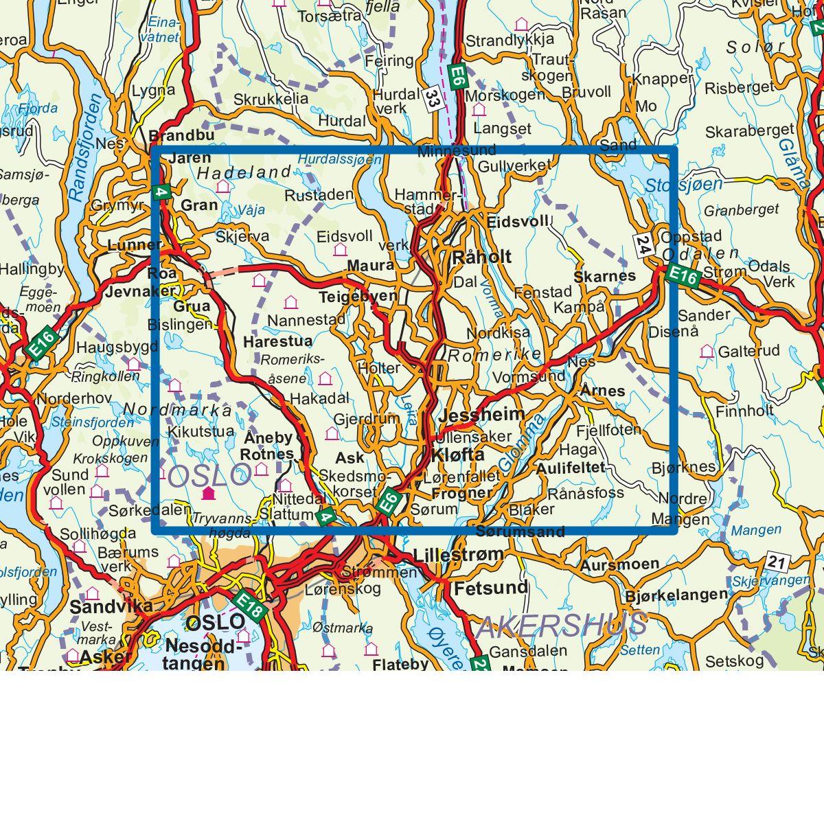
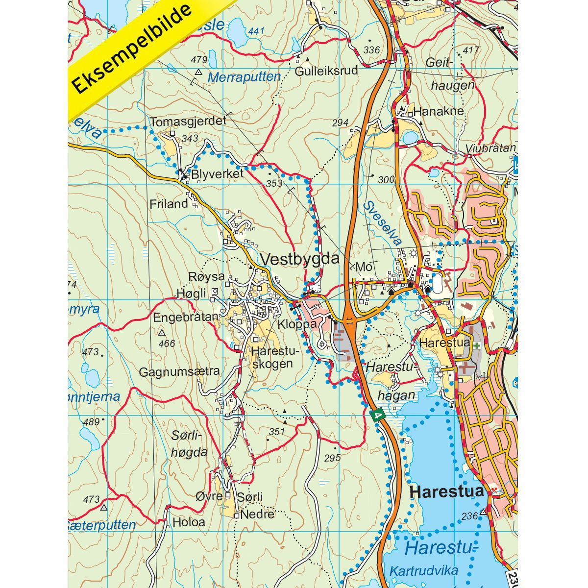
Topo 3000 Romeriksåsene is a detailed map covering over 3000 km2. The map covers the area from Lunner in the west to Skarnes by Glomma in the east. Romeriksåsene is a beautiful hiking area northeast of Nordmarka that stretches from Skedsmo in the south to Hurdalsjøen in the north and offers many beautiful walks, viewpoints and lakes. The map covers Grua, Harestua and Mylla, among others, which are all excellent starting points for trips in the Romeriksås. Paradiskollen is the highest point in the area with a fantastic view of the south and west of Nordmarka and is definitely worth a visit. In addition, the map covers popular and beautiful hiking areas such as Venneråsen, Kikut and Varingskollen in Nittedal. The map also covers the serviced Kobberhaughytta in the heart of Oslomarka with its fantastic panoramic view of Sørkedalen. Examples of cabins in the map: Ullevålseter, Finnerud, Kobberhaughytta, Smedmyrkoia, Bjørnholt, Tømtehytta, Tryvannsstua, Nordmarkskapellet, Skjennungstua, Sinober, Røverhula, Fjellvang, Nydalshytta, Lilloseter, Spikertjernhytta, Rørnuthytta, Kørjahutstuhmen, Kørjahutstuhmen.
Topo 3000 is a detailed trail 1:50,000 scaled map with information from the Norwegian Mapping Authority. The map includes hiking trails, skiing trails and overnight accommodations. Trekking information is in bold type for better legibility. The trail map covers more than 3000 km2 and has been adapted to include several popular trekking areas.
The maps are printed on durable and weatherproof plastic fibre or paper material.
The series is continuously being updated to four different languages: Norwegian, English, German and Dutch.