Norway
  Deutsch
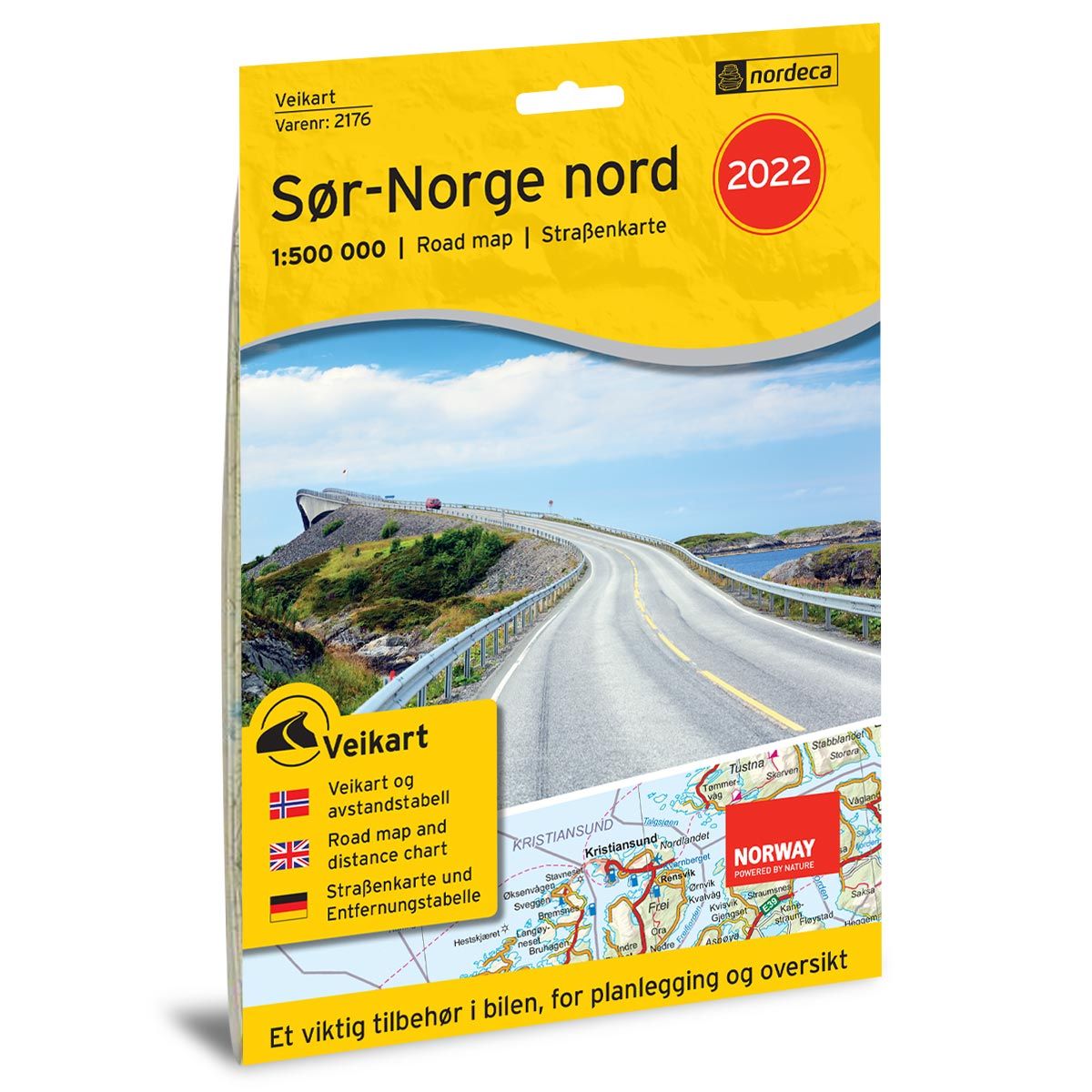


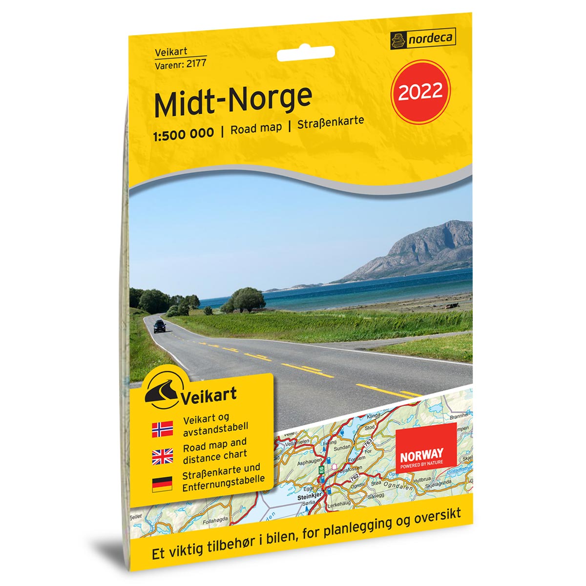
Road map Southern Norway North Road map
Road map with petrol stations, rest areas, ferry information
- The map covers Gjøvik, Lillehammer, Ålesund, Kristiansund and Trondheim
- In a handy format that fits in the glove compartment
€25.00
In stock
| Brand | Nordic Maps |
|---|---|
| SKU | 2176 |
| Map size | 70x100 cm |
| Scale | 1: 500 000 |
| Updated | 2022 |
| Material | Paper |
| Map usage | In the car |
| Accommodation | Serviced cabins, Unattended cabins, Self-catering cottages |
| Attractions | Trollstigen, Besseggen, Geirangerfjorden, Atlanterhavsveien, Sognefjell |
| EAN | 7046660021767 |
| Map both sides | No |
| Country | Norway |
| Destinations | Gjøvik, Hamar, Lillehammer, Florø, Ålesund, Molde, Kristiansund, Trondheim |
| Format | Foldable |
| Language | Norwegian, English, German |
| Series | Road maps |
The road maps have updated information about Norwegian roads, with rest areas, distance table, ferry routes, major natural attractions and tourist destinations as well as petrol stations and charging stations for electric cars.
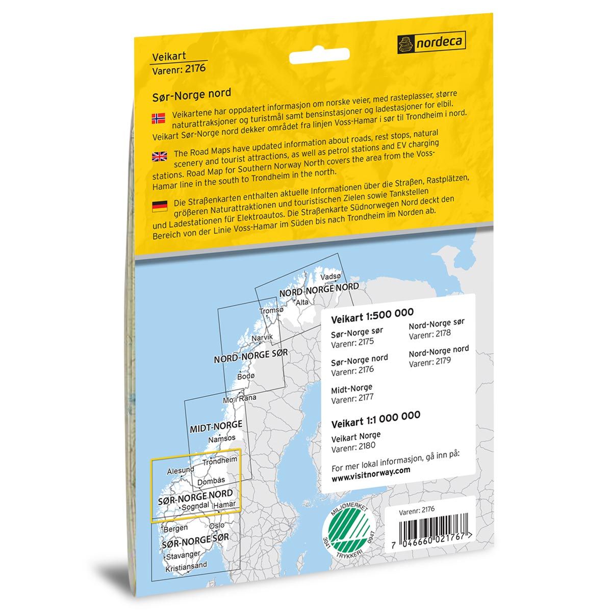
Covers the area from the Voss-Hamar line in the south to Trondheim in the north.
The road maps and the road book are well suited for planning the journey and are an important accessory in the car. The maps include, among other things, petrol stations, fast charging stations for electric cars, rest areas, ferry routes and a selection of natural and cultural attractions. The products are in three languages, Norwegian, English and German.