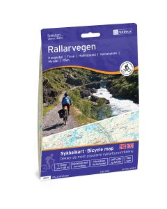
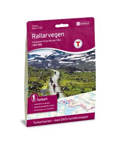
Rallarvegen

Norway's most beautiful cycling route
Rallarvegen has repeatedly been named Norway’s Most Beautiful Cycling Route and is visited each summer by around 25,000 cyclists from all over the world.
In 1894, the Norwegian Parliament decided to have a railway constructed between Christiania (now Oslo) and Bergen. First, however, it was necessary to build a construction road (Rallarvegen) which would be used to transport materials and workers, (known as “rallarer”) up in the mountain. In summer 1974, Rallarvegen was reopened as a cycling route.
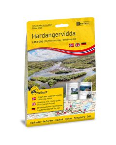
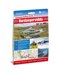
Rallarvegen runs parallel to the Bergen railway and starts from Haugastøl, or from Finse for shorter trips. The route is approx. 80 km one way, and most prefer to start from Haugastøl at 1000 masl and end in Flåm at sea level. Along the route, you can experience the mountain wilderness of Hardangervidda followed by the gentle cultural landscape in the valley of Flåmsdalen.
Certain sections of Rallarvegen are easy, while others are steep and difficult to manoeuvre, with bumps, sharp turns and deep tracks. You must be relatively fit. Families with children would be wise to take the route from Haugastøl to Finse (28 km) where the roads are generally in good condition.
Although most people are able to cycle the entire route in one day, it is common to divide the route into portions, with overnight stays along the way.
Since snow high up in the mountains tends to remain on the ground for quite some time, cycling season on Rallarvegen normally begins in early July and ends in late September. Rallarvegen is closed in winter.
Haugastøl–Finse 27 km
Rallarvegen starts at 1000 masl from the Haugastøl Tourist Centre. There is plenty of parking for those who arrive by car. The distance from the train station, whether walking or cycling, is 800 meters to the west. Haugastøl Tourist Centre offers both bicycle rentals and full travel packages complete with overnight stays and meals. Rented bicycles can be left at Haugastøl, Finse or Flåm, so cyclists need not worry about transporting their bikes back to the starting point.
Finse–Hallingskeid 21 km
On this stretch, you will pass Rallarvegens highest point, 1343 masl by Fagernuten. Shortly after, you will reach the Fagernut guard house, where the Rallar Museum operates a café during the season. It displays the interior from the early days of the Bergen Railway.
Hallingskeid–Vatnahalsen 17 km
Here, Rallarvegen winds down Nedre Grøndalsvatnet and Klevavatnet lakes while the railway continues up the mountainside.
Vatnahalsen–Flåm 17 km
The final stretch down to Flåm offers an unusual choice of direction. It is common to cycle the 20 winding turns of Myrdalsvingaene, or to walk and push your bike, since the road here is steep and poor, with tight turns. The new option is to take the longest zipline in the Nordic countries, which starts at the railway crossing and slides down to Kårdal, 1381 meters away, with a height difference of 305 meters. Flåm Zipline offers transport for bicycles and luggage for those who prefer not to walk or take the train back up.
Overnight accommodation
There are good options for overnight accommodations along
Rallarvegen, from hotel beds to tents and sleeping bags. There are campgrounds and several apartment hotels, rental cabins and hostels in Flåm.
It is also possible to sleep outdoors in a tent along the Rallarvegen, with the exception of the no-tent zones between Haugastøl and Tunga, and in Finse city centre. This is out of consideration for cabin owners in the area.

 Norway
  Deutsch