Norway
  Deutsch
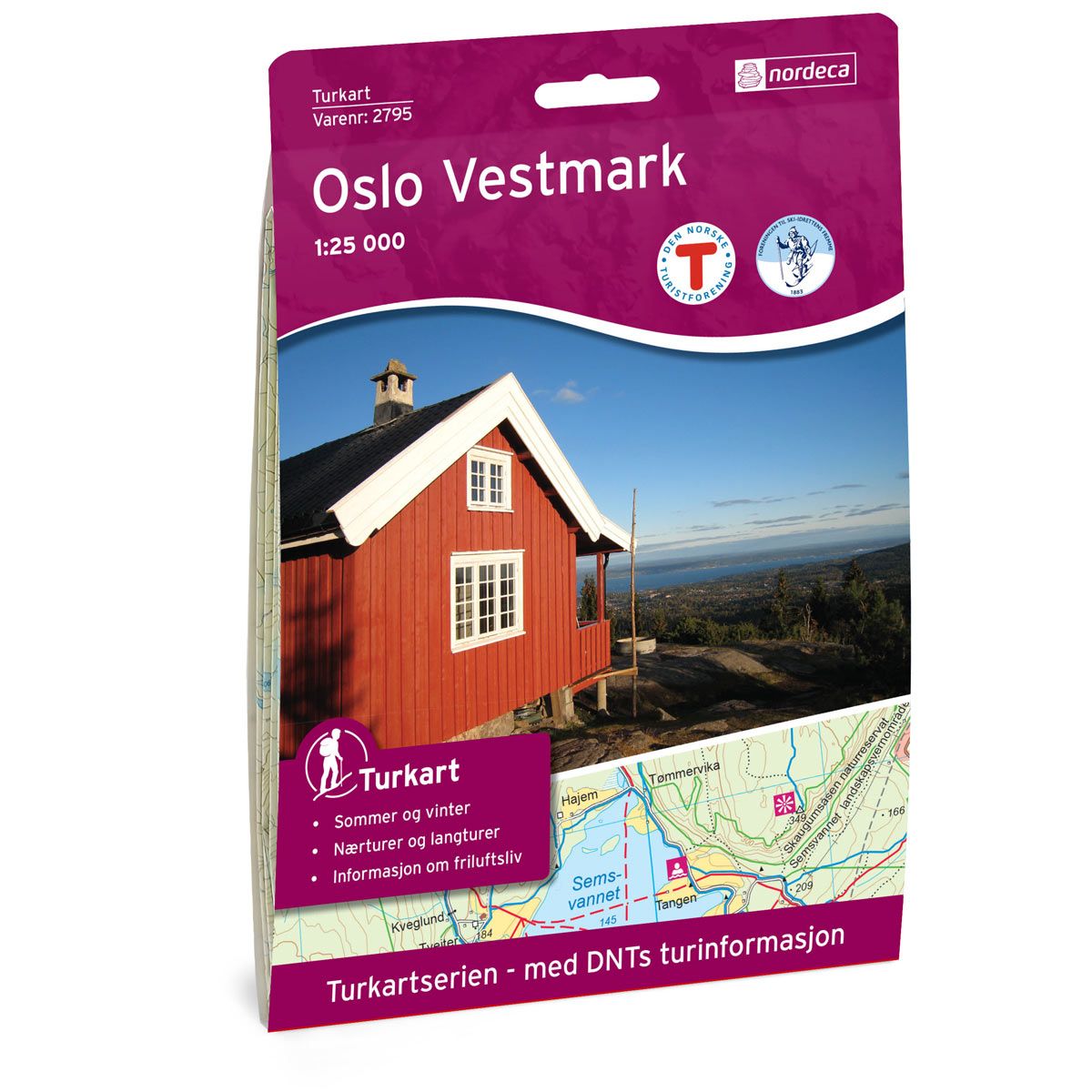
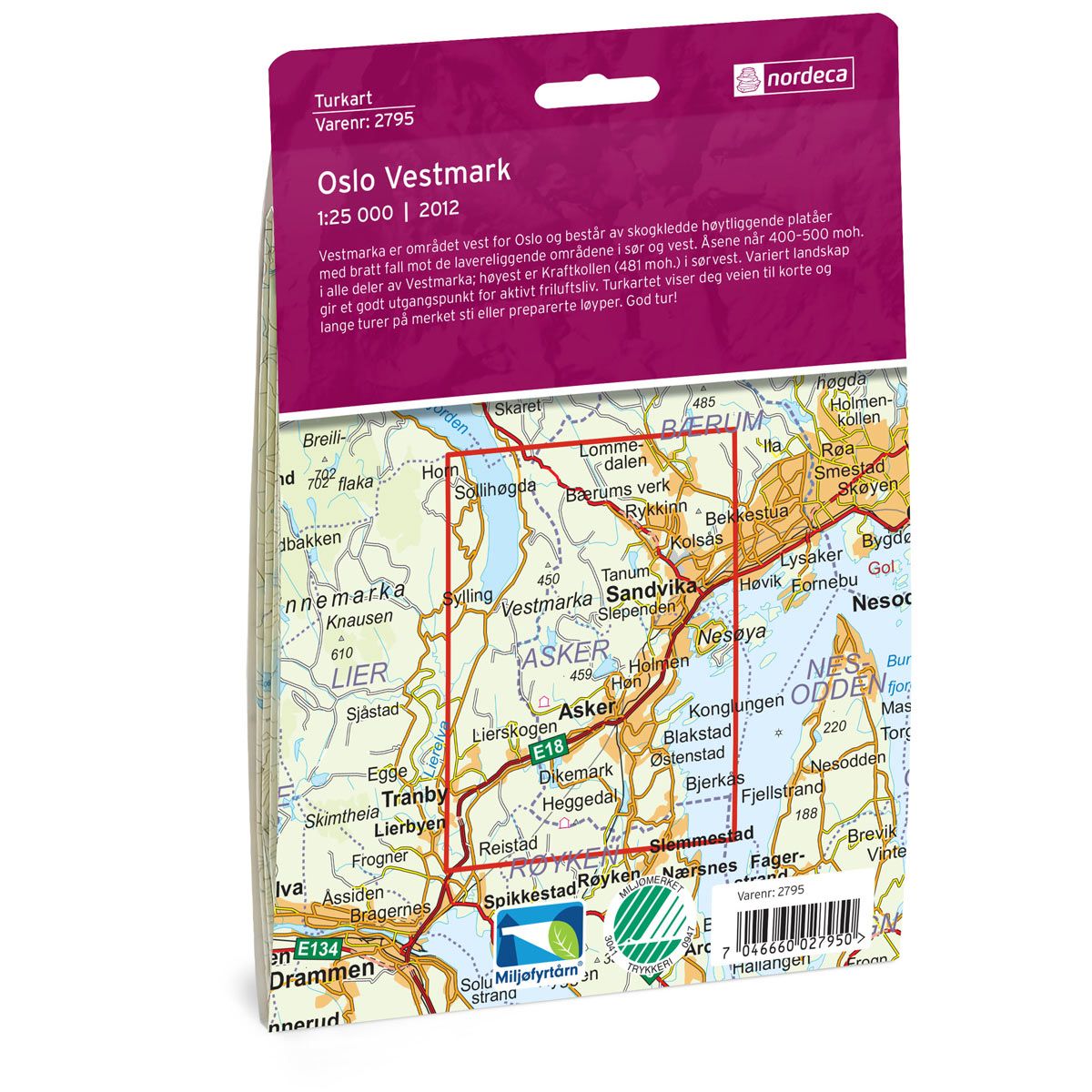


Oslo Vestmark DNT hiking map
Map with Norwegian Trekking Association information about trails and cabins.
- The map covers Asker, Sandvika og Tranby
- Scale 1:25000
€24.00
In stock
| Brand | Nordic Maps |
|---|---|
| SKU | 2795 |
| Map size | 70x100 cm |
| Scale | 1: 25 000 |
| Trails | Hiking trails |
| Updated | 2012 |
| Material | Paper |
| Map usage | Hiking, Cross Country |
| Accommodation | Serviced cabins, Unattended cabins, Self-catering cottages, hotels |
| EAN | 7046660027950 |
| Partner | The Norwegian Trekking Association |
| Map both sides | No |
| Country | Norway |
| Destinations | Asker, Sandvika, Tranby |
| Format | Foldable |
| Language | Norwegian, English |
| Series | Hiking maps |
Vestmarka is an area west of Oslo and consists of high, forested plateaus with a steep drop down to the low-lying areas in the south and west. The hills are about 400 to 500 masl in all parts of Vestmarka. The highest hill is Kraftkollen (481 masl) in the southwest. A varied landscape offers good opportunities for active outdoor recreation. The trail map will guide you to both shorter and longer treks on marked hiking trails or prepared ski trails.
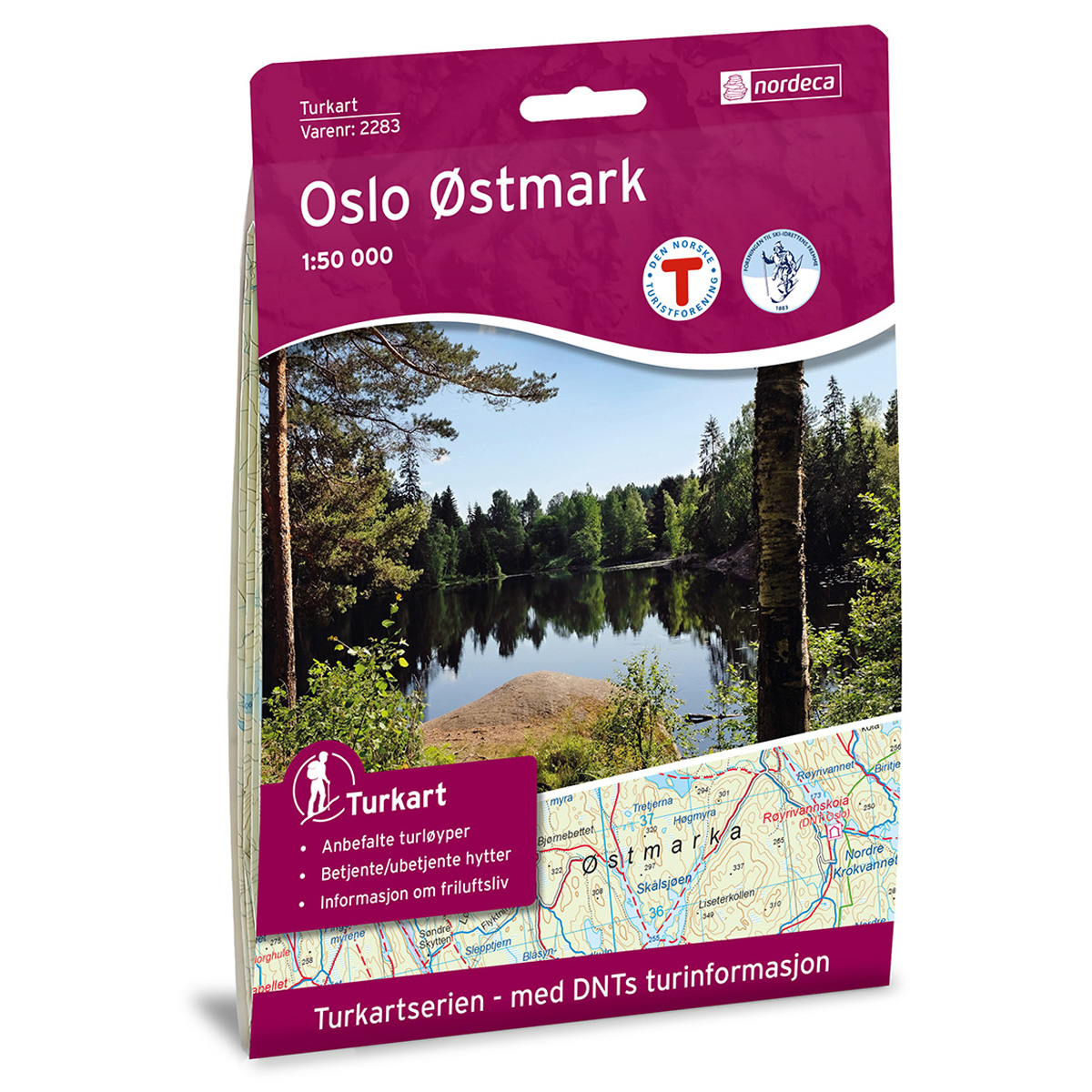
DNT hiking maps
This map series was developed in cooperation with The Norwegian Trekking Association (DNT) and contains DNT trails, cabins and other useful trekking information. A few of the maps also have ski trails.
The DNT maps are published in three different scales (levels of detail).
1:25 000 for more defined and detailed information. Suitable for shorter treks.
1:50 000 is the optimal scale for treks.
1:100 000 offers a good overview of larger areas and is useful when planning trips.
The maps are printed on durable and weatherproof plastic fibre or paper material.
Language: Norwegian and English