Norway
  Deutsch
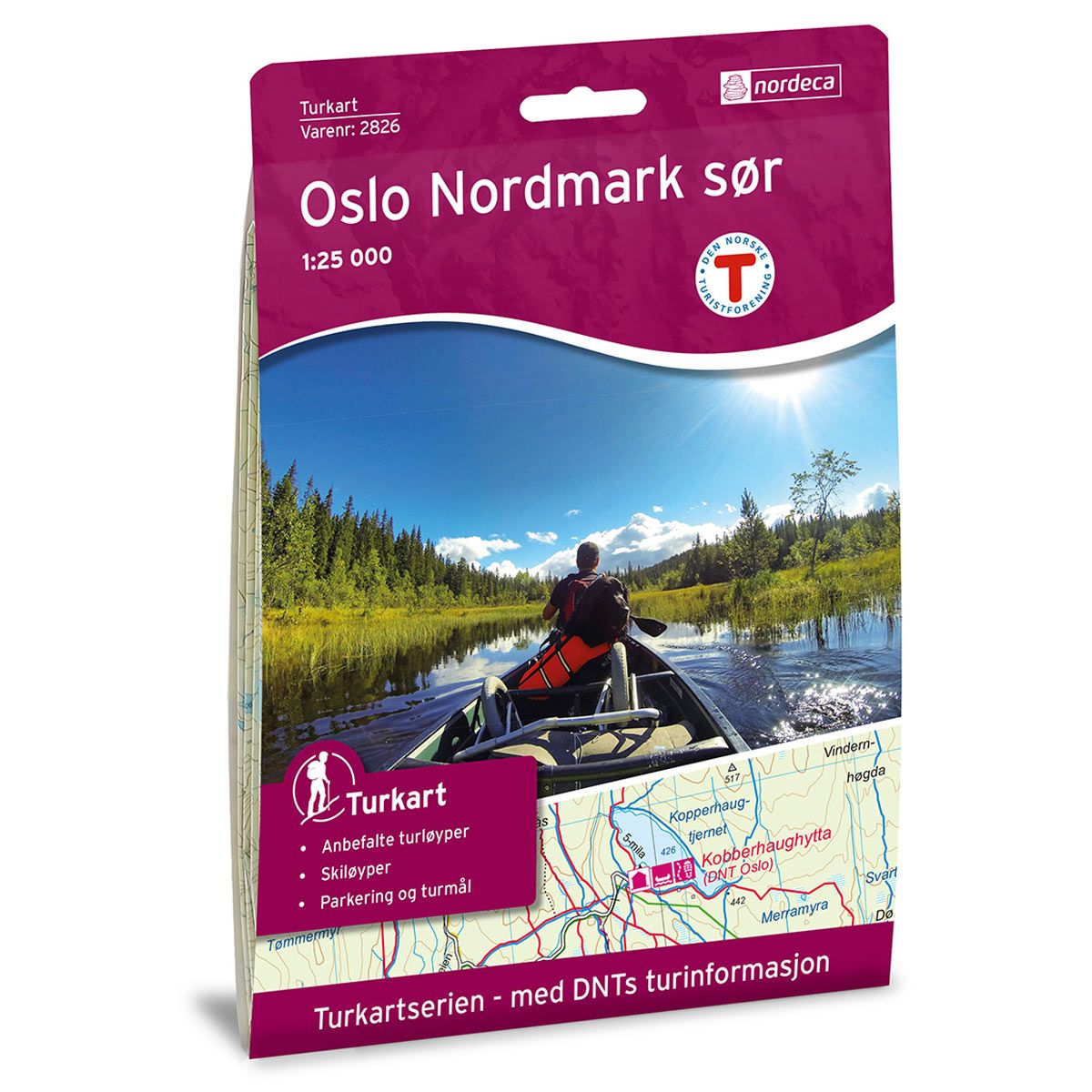


Oslo Nordmark Sør DNT hiking map
Map with Norwegian Trekking Association information about trails and cabins.
- The map covers Nittedal, Oslo, Rotnes, Holmenkollen og Slattum
- Scale 1:25000 in water resistant material
€24.00
Out of stock
| Brand | Nordic Maps |
|---|---|
| SKU | 2826 |
| Map size | 70x100 cm |
| Scale | 1: 25 000 |
| Trails | Hiking trails |
| Updated | 2016 |
| Material | Plastic fiber |
| Map usage | Hiking, Cross Country |
| Accommodation | Serviced cabins, Unattended cabins, Self-catering cottages, hotels |
| EAN | 7046660028261 |
| Partner | The Norwegian Trekking Association |
| Map both sides | No |
| Country | Norway |
| Destinations | Nittedal, Oslo, Rotnes, Holmenkollen, Slattum |
| Format | Foldable |
| Language | Norwegian, English |
| Series | Hiking maps |
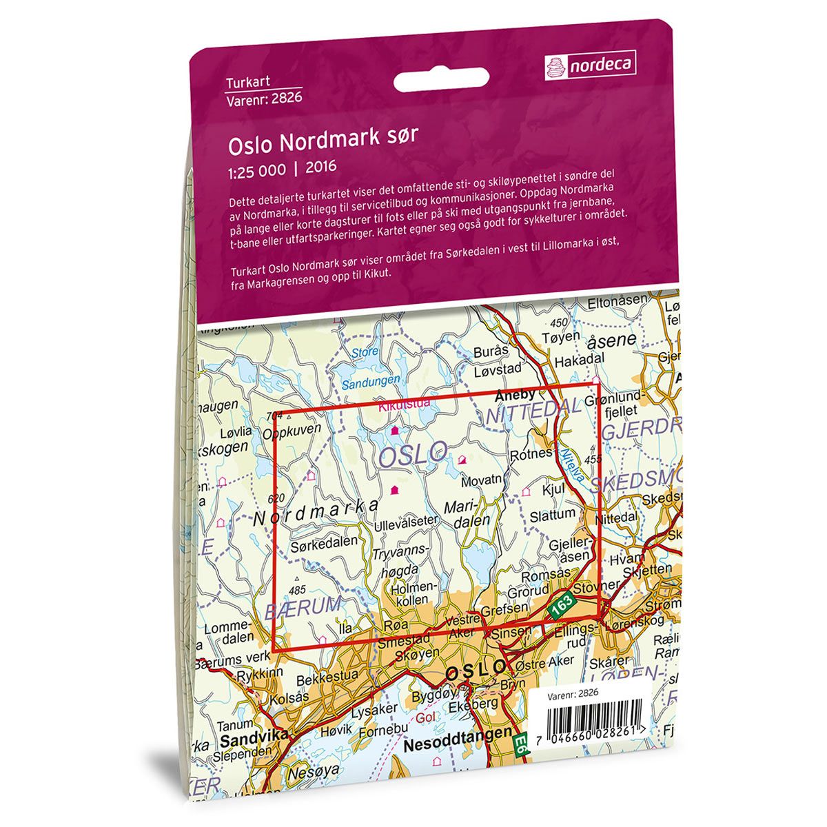
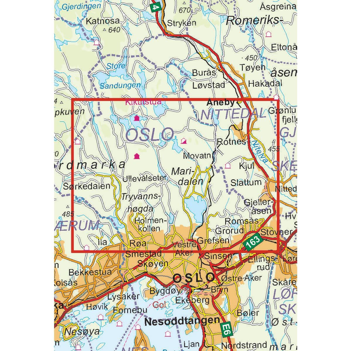
This detailed trail map shows the extensive network of hiking and skiing trails in the southern part of Nordmarka, in addition to services and public transport. Experience Nordmarka on long or short day trips on foot or on skis, starting from the train station, subway or parking lots. The map is particularly good for cycling trips in the area. The Oslo Nordmark South Trail Map shows the area from Sørkedalen in the west to Lillomarka in the east, and from Markagrensen up to Kikut.
DNT hiking maps
This map series was developed in cooperation with The Norwegian Trekking Association (DNT) and contains DNT trails, cabins and other useful trekking information. A few of the maps also have ski trails.
The DNT maps are published in three different scales (levels of detail).
1:25 000 for more defined and detailed information. Suitable for shorter treks.
1:50 000 is the optimal scale for treks.
1:100 000 offers a good overview of larger areas and is useful when planning trips.
The maps are printed on durable and weatherproof plastic fibre or paper material.
Language: Norwegian and English