Norway
  Deutsch
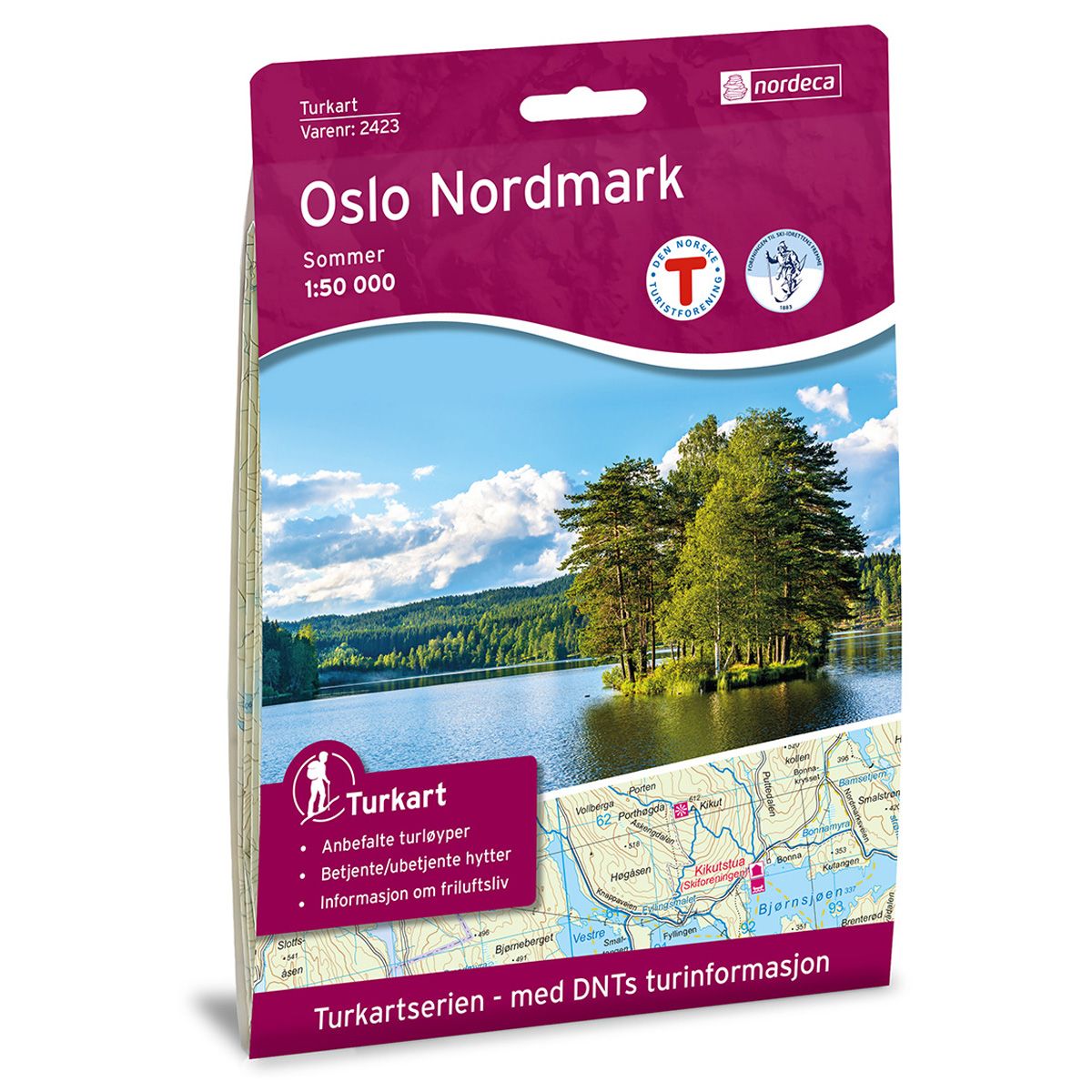
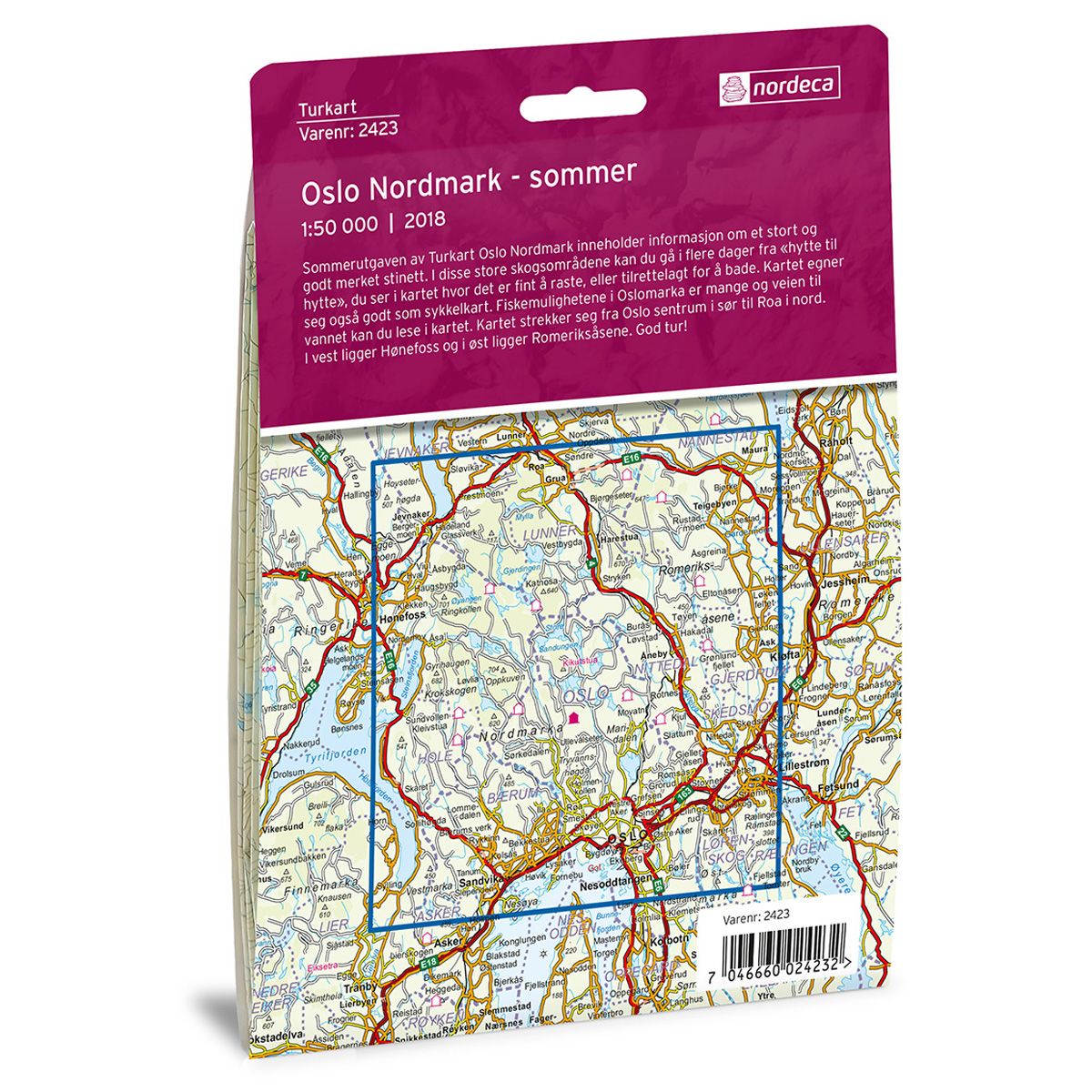


Oslo Nordmark Sommer DNT hiking map
Map with Norwegian Trekking Association information about trails and cabins.
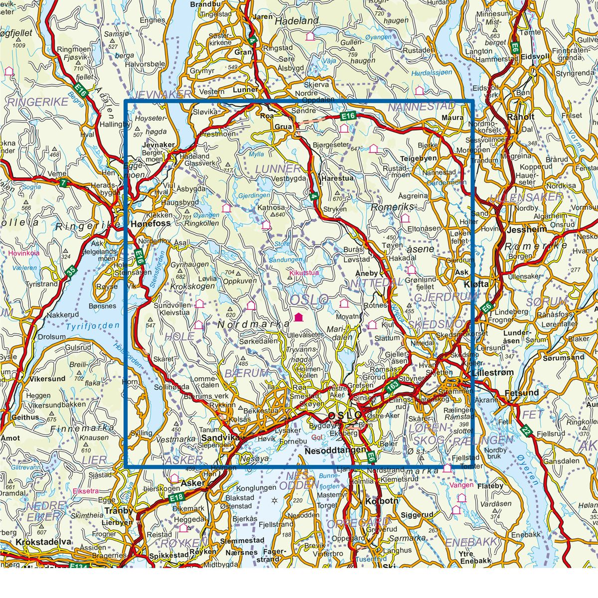
- The map covers Hønefoss, Lillestrøm, Oslo, Sundvollen og Sandvika
- Scale 1:50 000 in water resistant material
€24.00
In stock
| Brand | Nordic Maps |
|---|---|
| SKU | 2423 |
| Map size | 70x100 cm |
| Scale | 1: 50 000 |
| Trails | Hiking trails |
| Updated | 2018 |
| Material | Plastic fiber |
| Map usage | Hiking |
| Accommodation | Serviced cabins, Unattended cabins, Self-catering cottages, hotels |
| EAN | 7046660024232 |
| Cabins in the map | Kjeholmen, Ytre Vassholmen, Rødstua, Langøyene, Tiern, Kiosken, Svartvannshytta, Mikkelsbonn, Sæteren gård, Mustadkroken, Jørgenhytta, Myrseter, Kobberhaughytta, Kleivstua, Solstua, Tømtehytta, Sellanrå, Smedmyrkoia, Presthytta, Kikutstua, Løvlia, Katnosdammen, Sinnerdammen, Trantjern gård, Snellingen, Fjellvang, Nydalshytta, Spikertjernhytta, Bekkestua, Råbjørnhytta |
| Partner | The Norwegian Trekking Association |
| Map both sides | No |
| Country | Norway |
| Destinations | Akershus, Ask, Grua, Hakadal, Harestua, Hønefoss, Jevnaker, Lillestrøm, Lørenskog stasjon, Maura, Nannestad, Nittedal, Nordmarka, Oslo, Ringerike, Roa, Rotnes, Slattum, Sundvollen, Vik |
| Format | Foldable |
| Language | Norwegian, English |
| Series | Hiking maps |
The summer edition of the Oslo Nordmark Trail Map contains information about the area’s extensive and well-marked trail network. In these broad woodland areas, you can hike for days from “cabin to cabin”, and the map will show you good places to stop and rest, or where to take a swim. The map also displays cycling routes. Oslomarka har numerous fishing lakes, and the routes to these are indicated on the map. The map extends from Oslo city centre in the south to Roa in the north. Hønefoss lies to the west, with Romeriksåsene in the east.
DNT hiking maps
This map series was developed in cooperation with The Norwegian Trekking Association (DNT) and contains DNT trails, cabins and other useful trekking information. A few of the maps also have ski trails.
The DNT maps are published in three different scales (levels of detail).
1:25 000 for more defined and detailed information. Suitable for shorter treks.
1:50 000 is the optimal scale for treks.
1:100 000 offers a good overview of larger areas and is useful when planning trips.
The maps are printed on durable and weatherproof plastic fibre or paper material.
Language: Norwegian and English