Norway
  Deutsch
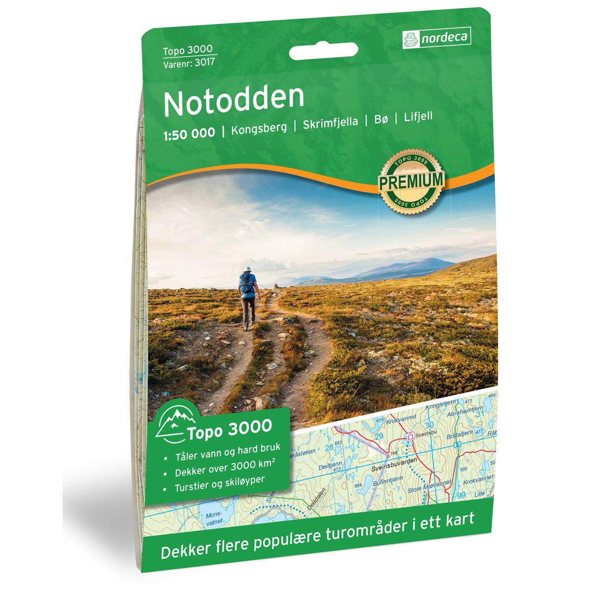
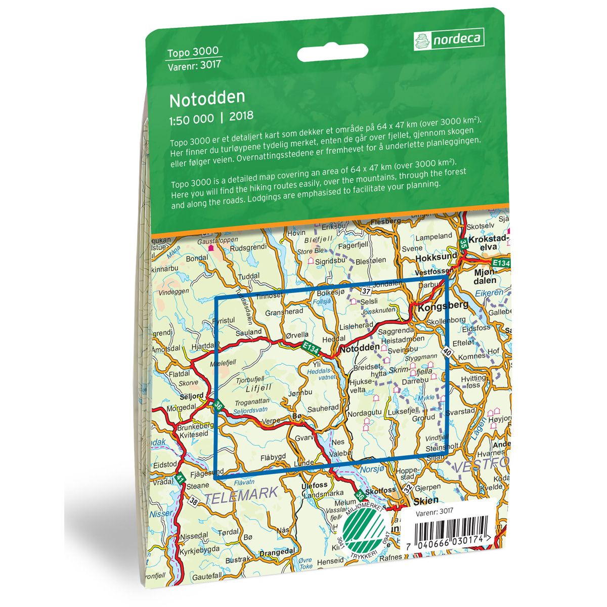
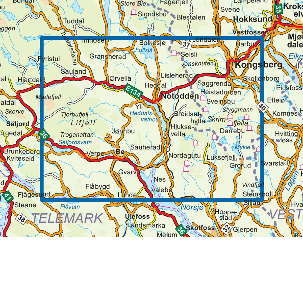
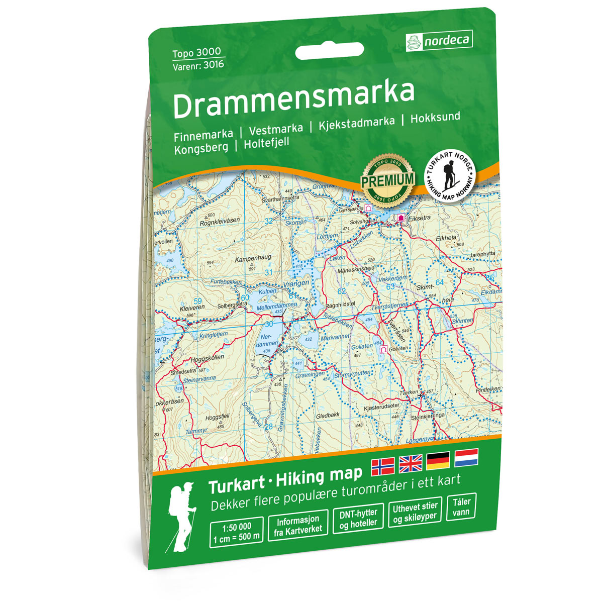

Notodden Topo 3000 hiking map
Covers popular trekking areas with highlighted trekking information
- The map covers Kongsberg, Skrimfjella, Bø og Lifjell
- Scale 1:50 000 in water resistant material
€25.00
In stock
| Brand | Nordic Maps |
|---|---|
| SKU | 3017 |
| Map size | 70x100 cm |
| Scale | 1: 50 000 |
| Trails | Hiking trails |
| Updated | 2018 |
| Material | Plastic fiber |
| Map usage | Hiking, Cross Country |
| Accommodation | Serviced cabins, Unattended cabins, Self-catering cottages, hotels |
| EAN | 7040666030174 |
| Cabins in the map | Selsli, Sveinsbu, Darrebu, Breidsethytta, Lifjellstua, Lifjell Hotell, Himingsjå, Fugleleiken, Sommerseter, Solum, Pråmvika, Knutehytta, Ivarsbu, Presteseter |
| Map both sides | Yes |
| Country | Norway |
| Destinations | Kongsberg, Skrimfjella, Bø, Lifjell |
| Format | Foldable |
| Language | Norwegian, English |
| Series | Topo 3000 |
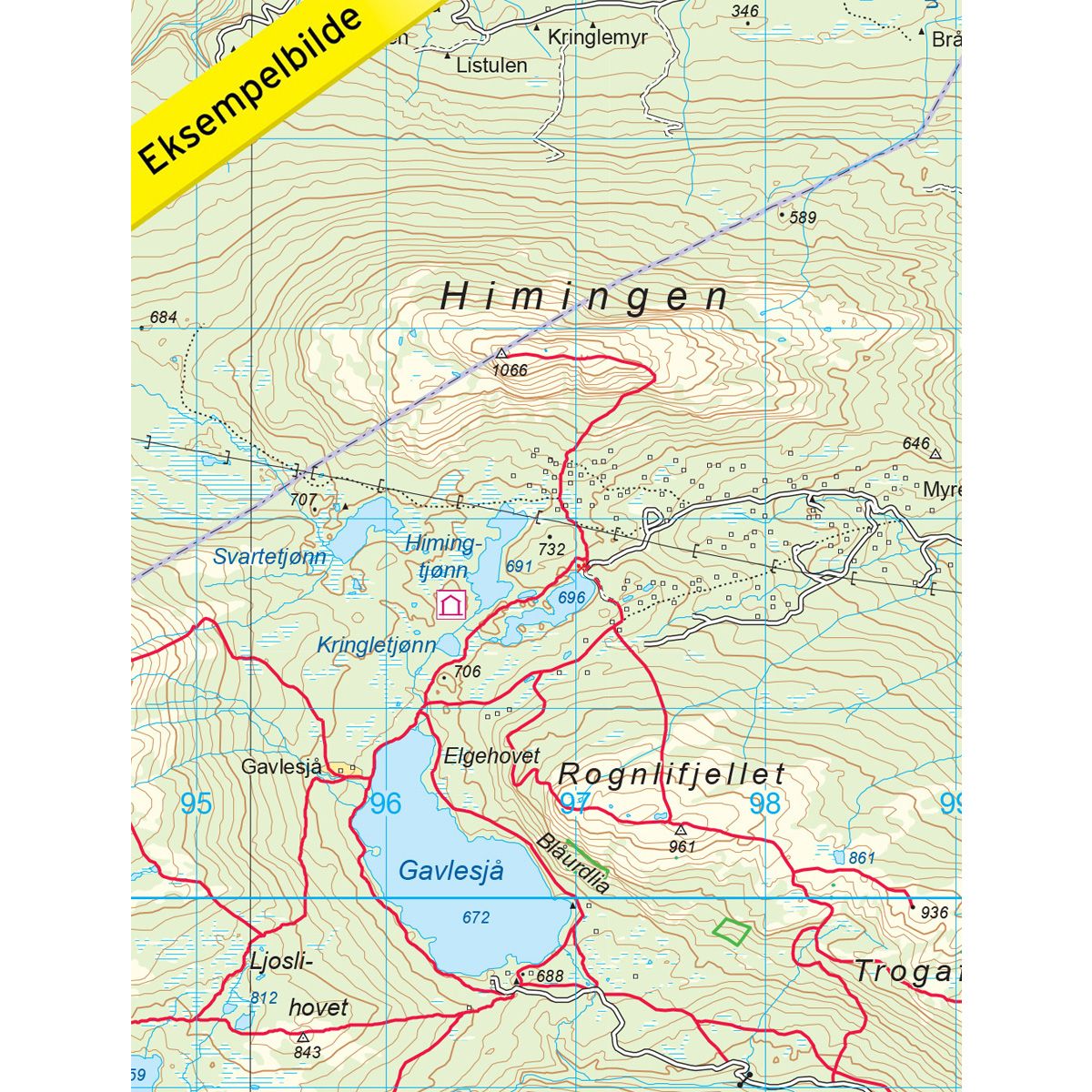
Topo 3000 is a detailed map that covers more than 3000 km2. Hiking routes in the area are varied - long or short, steep or along flat terrain. There are plenty of good opportunities for fishing and swimming. The area is suitable for both experienced hikers and families with small children. On a clear day there are good views of the Kragerø coast, Seljord and Kongsberg from the mountaintops of Lifjell.
Topo 3000
Topo 3000 is a detailed trail 1:50,000 scaled map with information from the Norwegian Mapping Authority. The map includes hiking trails, skiing trails and overnight accommodations. Trekking information is in bold type for better legibility. The trail map covers more than 3000 km2 and has been adapted to include several popular trekking areas.
The maps are printed on durable and weatherproof plastic fibre or paper material.
The series is continuously being updated to four different languages: Norwegian, English, German and Dutch.