Norway
  Deutsch
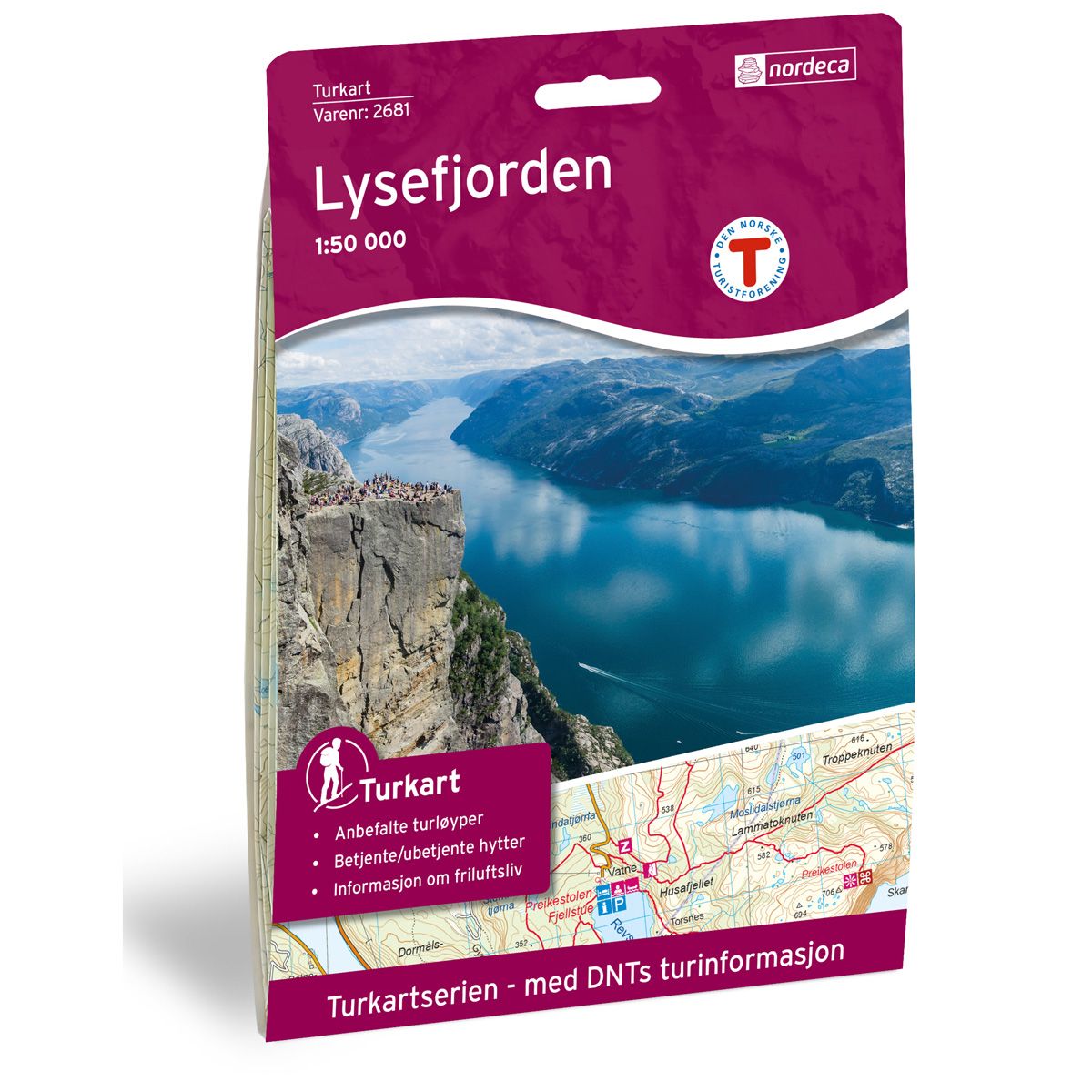
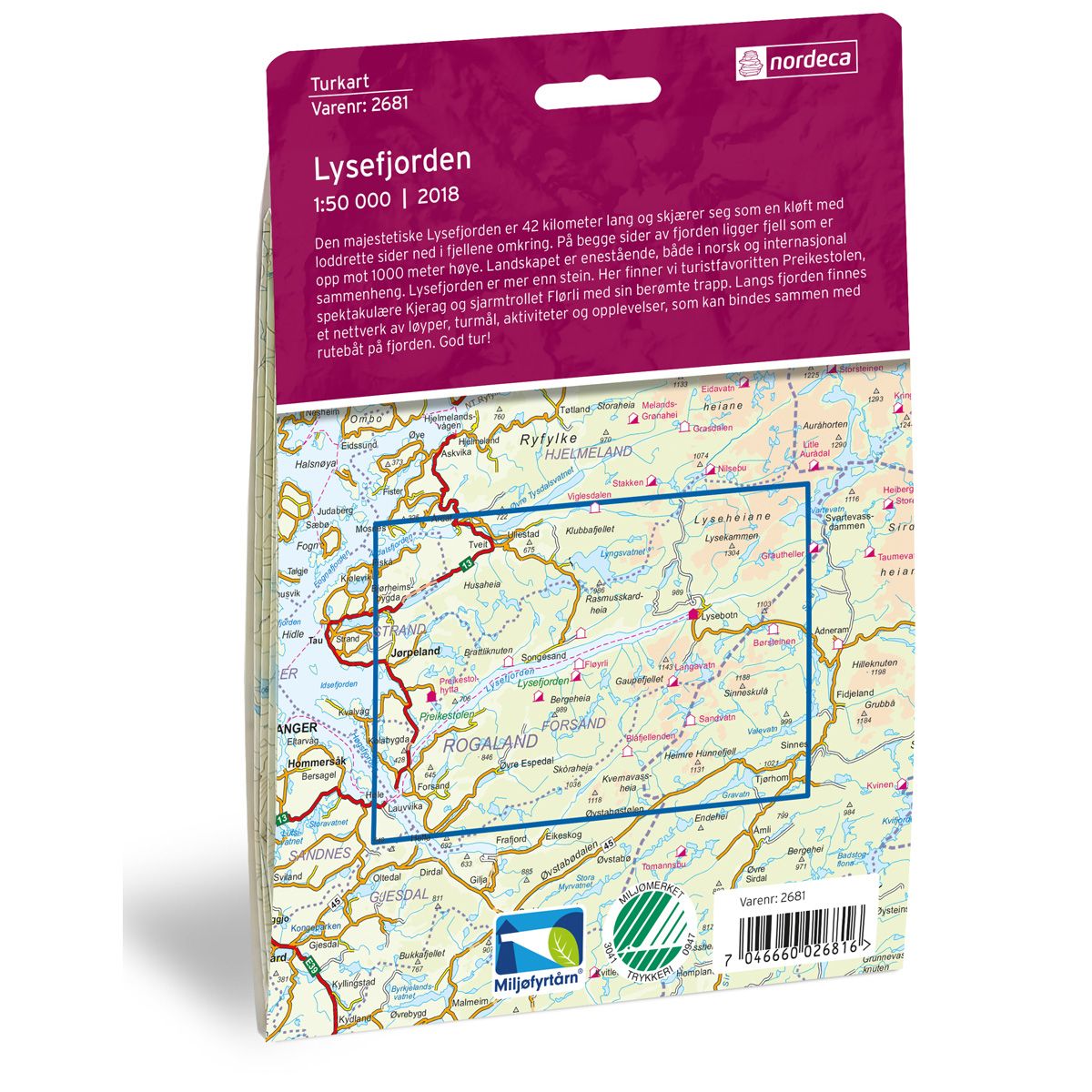
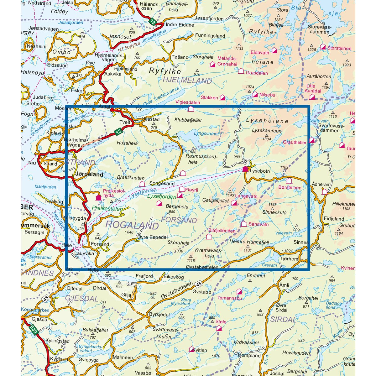


Lysefjorden DNT hiking map
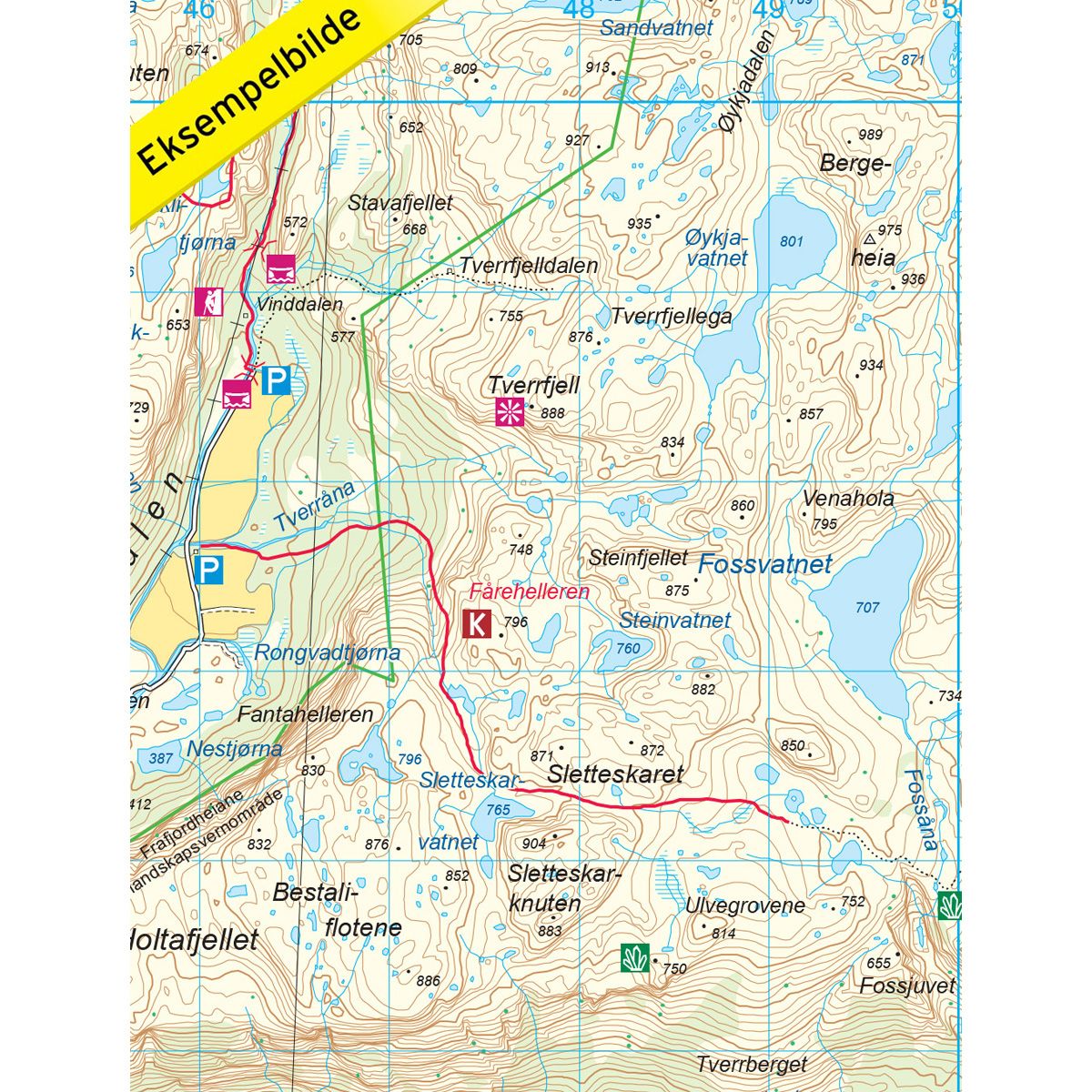
Map with Norwegian Trekking Association information about trails and cabins.
- The map covers Preikestolen, Jørpeland, Lysebotn, Lyseheiane og Ryfylkeheiane
- Scale 1:50 000 in water resistant material
€24.00
In stock
| Brand | Nordic Maps |
|---|---|
| SKU | 2681 |
| Map size | 70x100 cm |
| Scale | 1: 50 000 |
| Trails | Hiking trails |
| Updated | 2018 |
| Material | Plastic fiber |
| Map usage | Hiking, Cross Country |
| Accommodation | Serviced cabins, Unattended cabins, Self-catering cottages, hotels |
| Attractions | Lysefjorden |
| EAN | 7046660026816 |
| Partner | The Norwegian Trekking Association |
| Map both sides | No |
| Country | Norway |
| Destinations | Preikestolen,Forsand, Jørpeland, Lysebotn, Lysefjorden, Lyseheiane, Rogaland, Ryfylkeheiane |
| Format | Foldable |
| Language | Norwegian, English |
| Series | Hiking maps |
The majestic Lysefjorden fjord is 42 kilometres in length, leading through a ravine with vertical mountain walls on either side. There are 1000 meter high mountains on either side of the fjord. The landscape is unique, from both a Norwegian and international perspective. Lysefjorden is more than just rock. It includes the popular tourist attraction Preikestolen, the spectacular Kjerag and the charming village of Flørli, with its famous staircase. Along the fjord is a network of trails, destinations, activities and experiences that can be tied together by a shuttle boat in the fjord.
DNT hiking maps
This map series was developed in cooperation with The Norwegian Trekking Association (DNT) and contains DNT trails, cabins and other useful trekking information. A few of the maps also have ski trails.
The DNT maps are published in three different scales (levels of detail).
1:25 000 for more defined and detailed information. Suitable for shorter treks.
1:50 000 is the optimal scale for treks.
1:100 000 offers a good overview of larger areas and is useful when planning trips.
The maps are printed on durable and weatherproof plastic fibre or paper material.
Language: Norwegian and English