Norway
  Deutsch
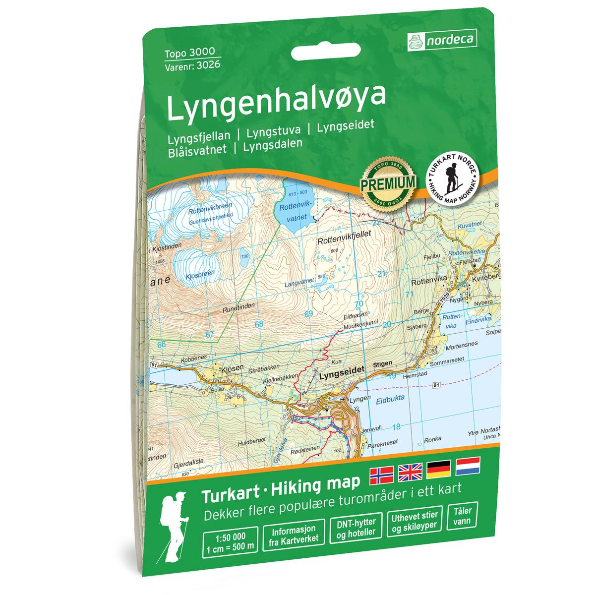
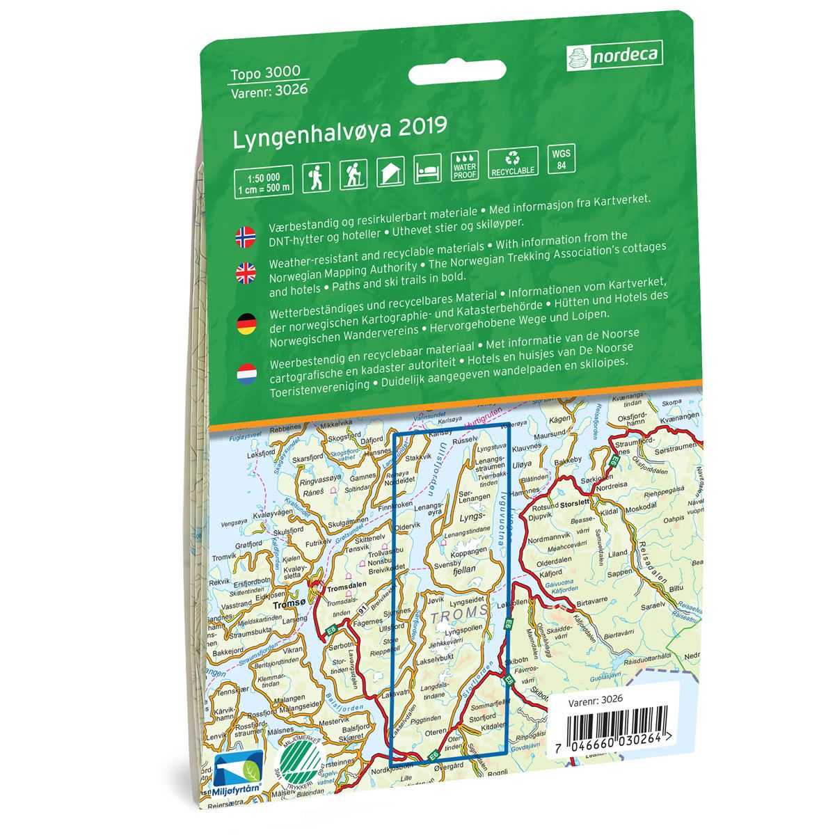
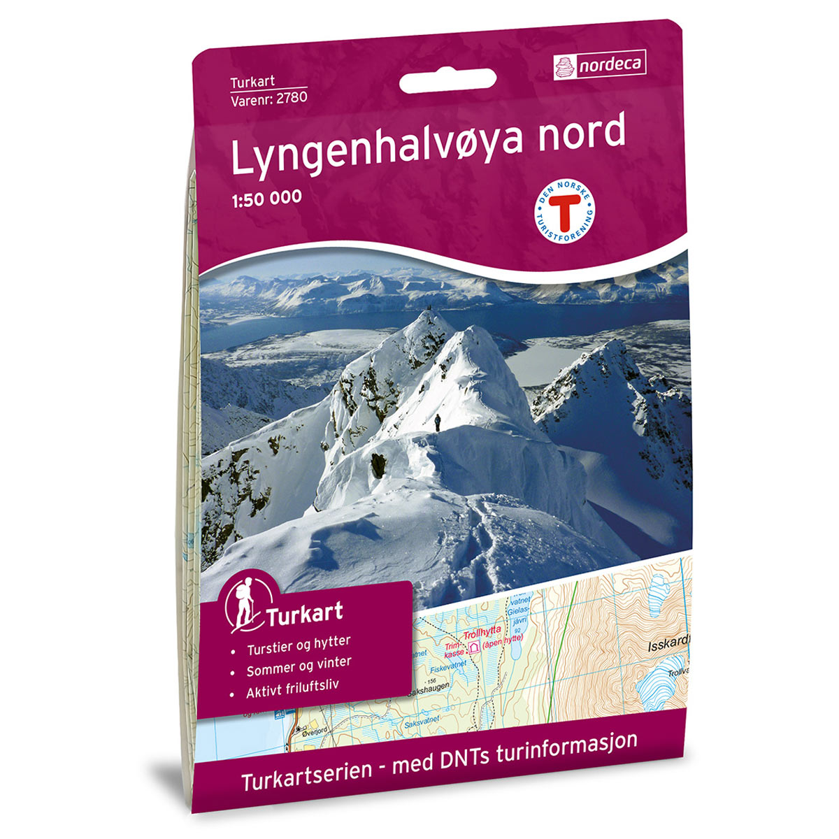

Lyngenhalvøya Topo 3000 Hiking map
Covers popular trekking areas with highlighted trekking information
- Scale 1:50 000 in water resistant material
€25.00
In stock
| Brand | Nordic Maps |
|---|---|
| SKU | 3026 |
| Map size | 70x100 cm |
| Scale | 1: 50 000 |
| Trails | Hiking trails |
| Updated | 2019 |
| Material | Plastic fiber |
| Map usage | Hiking, Cross Country |
| Accommodation | Serviced cabins, Unattended cabins, Self-catering cottages, hotels |
| Cabins in the map | Turboleiren, Jægervasshytta. |
| Map both sides | Yes |
| Country | Norway |
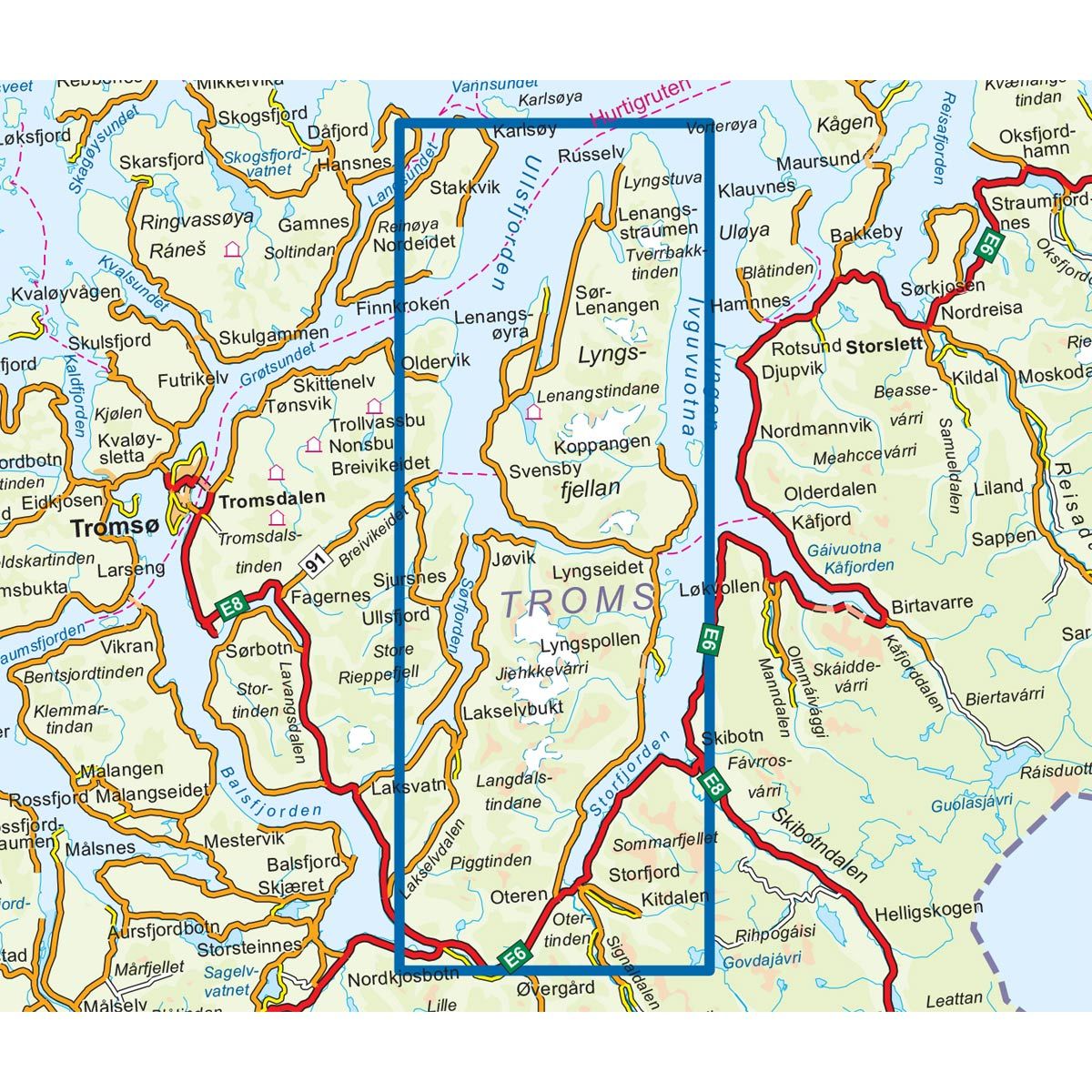
| Destinations | Lyngfjellan, Lyngstuva, Lyngseidet, Blåisvatnet, Lyngsdalen |
| Format | Foldable |
| Language | Norwegian, English, German, Dutch |
| Series | Topo 3000 |
Topo 3000 is a detailed map covering over 3000 km2. Between the Ullsfjord and the Lyngenfjord lies the Lyngen Peninsula, which is known for its high peaks, steep mountainsides and narrow valleys. The Lyngen Peninsula is a good starting point for varied nature experiences. Large parts of the peninsula are protected for conservation and there are also some nature reserves. In Lyngen you will find many tipping boxes in varied terrain.Here you will find trips such as: Top ski trip to Store Jægervasstinden 6 km, Store Kjostinden, skiing 3.8 km, Stelen (easy trip suitable for children / wheelchair / stroller 1.2 km, Trollhytta 8 km and Jiehkkevarri along 30 km. Examples of cabins: Fastdalshytta, Sieddihytta and Jægervasshytta (unattended).
Topo 3000
Topo 3000 is a detailed trail 1:50,000 scaled map with information from the Norwegian Mapping Authority. The map includes hiking trails, skiing trails and overnight accommodations. Trekking information is in bold type for better legibility. The trail map covers more than 3000 km2 and has been adapted to include several popular trekking areas.
The maps are printed on durable and weatherproof plastic fibre or paper material.
The series is continuously being updated to four different languages: Norwegian, English, German and Dutch.