Norway
  Deutsch
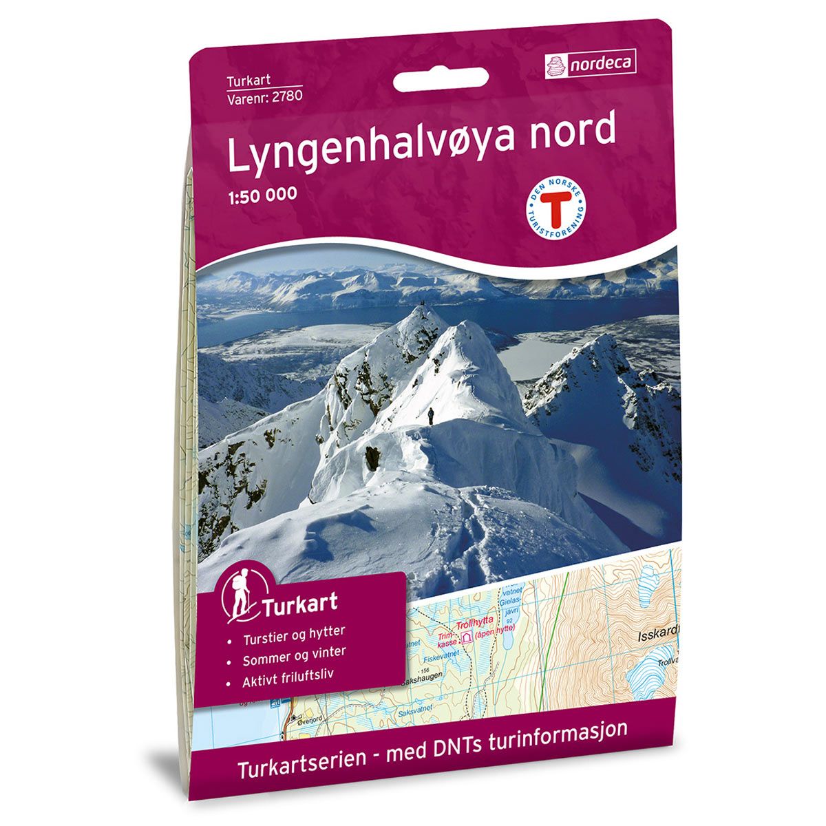

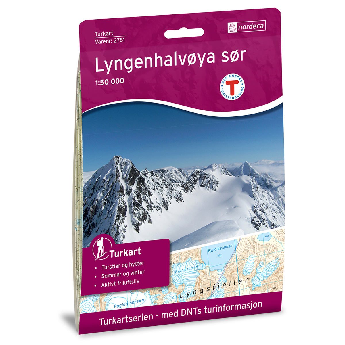
Lyngenhalvøya Nord DNT hiking map
Map with Norwegian Trekking Association information about trails and cabins.
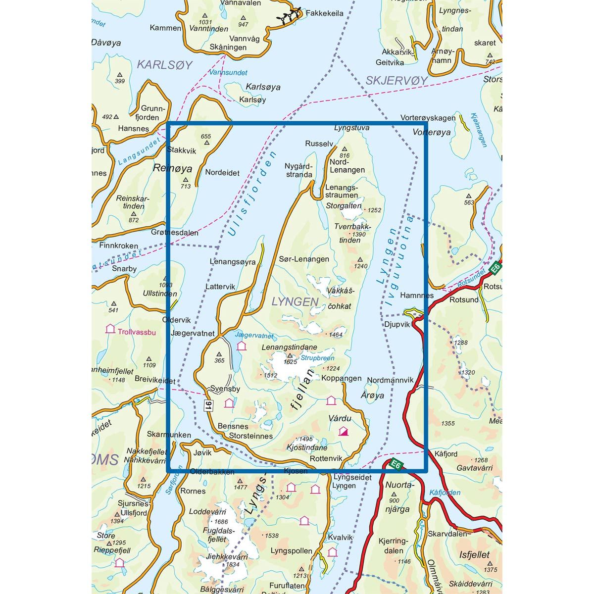
- The map covers Djupvik, Lenangstindane, Lyngsfjellan og Ullsfjorden
- Scale 1:50 000 in water resistant material
€24.00
Out of stock
| Brand | Nordic Maps |
|---|---|
| SKU | 2780 |
| Map size | 70x100 cm |
| Scale | 1: 50 000 |
| Trails | Hiking trails |
| Updated | 2011 |
| Material | Plastic fiber |
| Map usage | Hiking, Cross Country |
| Accommodation | Serviced cabins, Unattended cabins, Self-catering cottages, hotels |
| EAN | 7046660027806 |
| Partner | The Norwegian Trekking Association |
| Map both sides | No |
| Country | Norway |
| Destinations | Djupvik, Gáivuotna, Lenangstindane, Lyngen, Lyngsfjellan, Olderdalen, Reinøya, Ullsfjorden |
| Format | Foldable |
| Language | Norwegian, English |
| Series | Hiking maps |
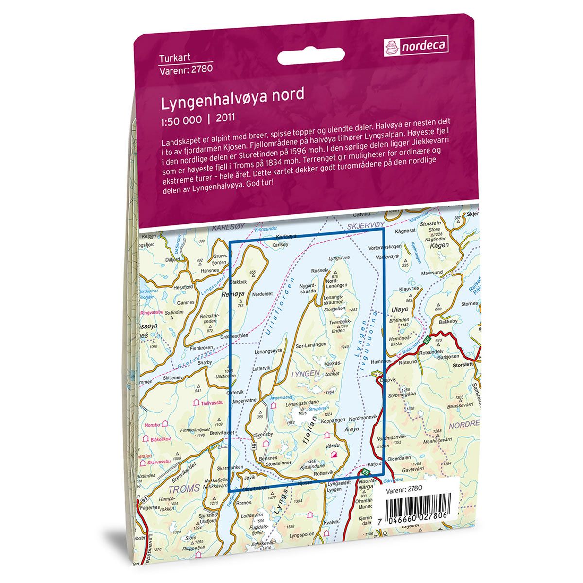
The landscape is alpine, with glaciers, steep peaks and rugged valleys. Halvøya is nearly divided in half by the Kjosen fjord. The mountainous areas on the peninsula belong to the Lyngen Alps. The tallest mountain in the northern part is Storetinden, which is 1596 masl. Jiekkevarri, in the southern part, is the tallest mountain in Troms at 1834 masl. The terrain allows for both ordinary and more extreme treks throughout the year. This map covers the trekking areas on the northern part of the Lyngen peninsula. Have a great trip!
DNT hiking maps
This map series was developed in cooperation with The Norwegian Trekking Association (DNT) and contains DNT trails, cabins and other useful trekking information. A few of the maps also have ski trails.
The DNT maps are published in three different scales (levels of detail).
1:25 000 for more defined and detailed information. Suitable for shorter treks.
1:50 000 is the optimal scale for treks.
1:100 000 offers a good overview of larger areas and is useful when planning trips.
The maps are printed on durable and weatherproof plastic fibre or paper material.
Language: Norwegian and English