
 Norway
  Deutsch
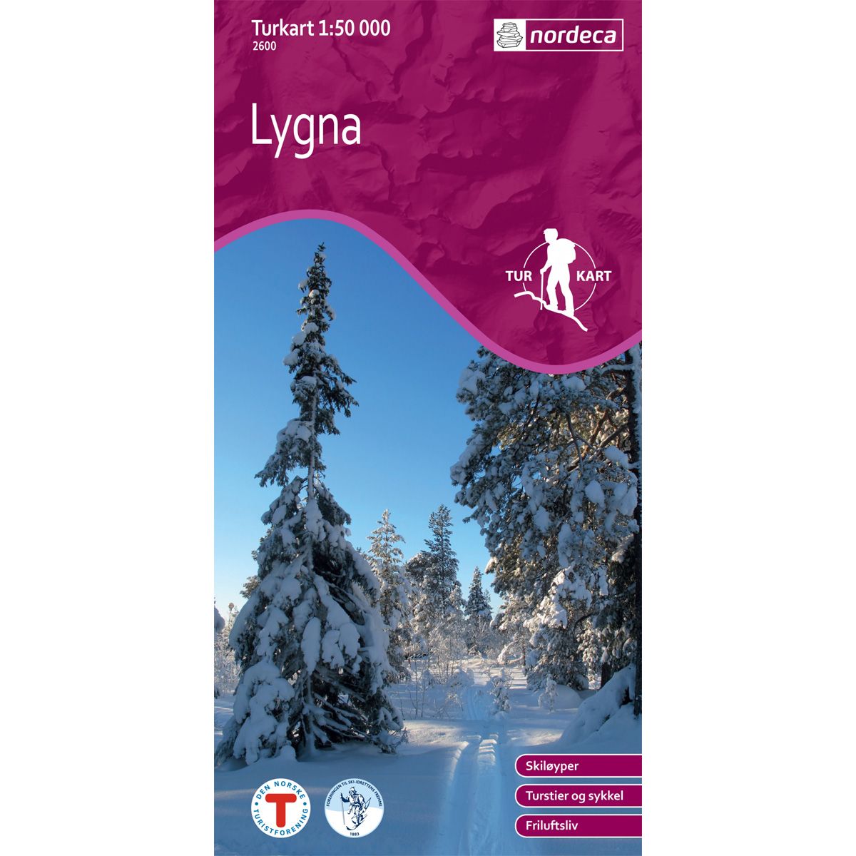
Lygna DNT hiking map
Map with Norwegian Trekking Association information about trails and cabins.
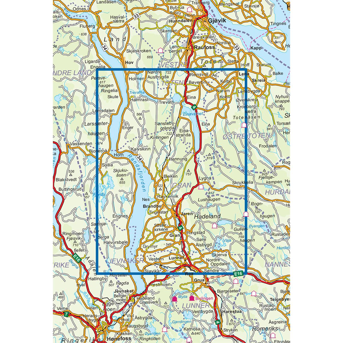
- The map covers Bjoneroa, Gran, Hadeland, Lunner, Lygna, Reinsvoll og Roa
- Scale 1:50 000
Special Price
€20.00
Regular Price
€24.00
Out of stock
| Brand | Nordic Maps |
|---|---|
| SKU | 2600 |
| Map size | 70x100 cm |
| Scale | 1: 50 000 |
| Trails | Hiking trails |
| Updated | 2010 |
| Material | Paper |
| Map usage | Hiking, Cross Country |
| Accommodation | Serviced cabins, Unattended cabins, Self-catering cottages, hotels |
| EAN | 7046660026007 |
| Partner | The Norwegian Trekking Association |
| Map both sides | No |
| Country | Norway |
| Destinations | Bjoneroa, Brandbu, Eina, Gran, Hadeland, Jaren, Lena, Lunner, Lygna, Randsfjorden, Reinsvoll, Roa |
| Format | Foldable |
| Language | Norwegian, English |
| Series | Hiking maps |
The continuous ski trail route from Oslo, through Romeriksåsene and onward to Gjøvik is a red thread in the Lygna Trail Map. There is also a continuous cycling and hiking route, with well-marked trails and recommended directions. The map provides a good overview of the terrain and offers inspiration for treks and outdoor activities.
DNT hiking maps
This map series was developed in cooperation with The Norwegian Trekking Association (DNT) and contains DNT trails, cabins and other useful trekking information. A few of the maps also have ski trails.
The DNT maps are published in three different scales (levels of detail).
1:25 000 for more defined and detailed information. Suitable for shorter treks.
1:50 000 is the optimal scale for treks.
1:100 000 offers a good overview of larger areas and is useful when planning trips.
The maps are printed on durable and weatherproof plastic fibre or paper material.
Language: Norwegian and English