Norway
  Deutsch
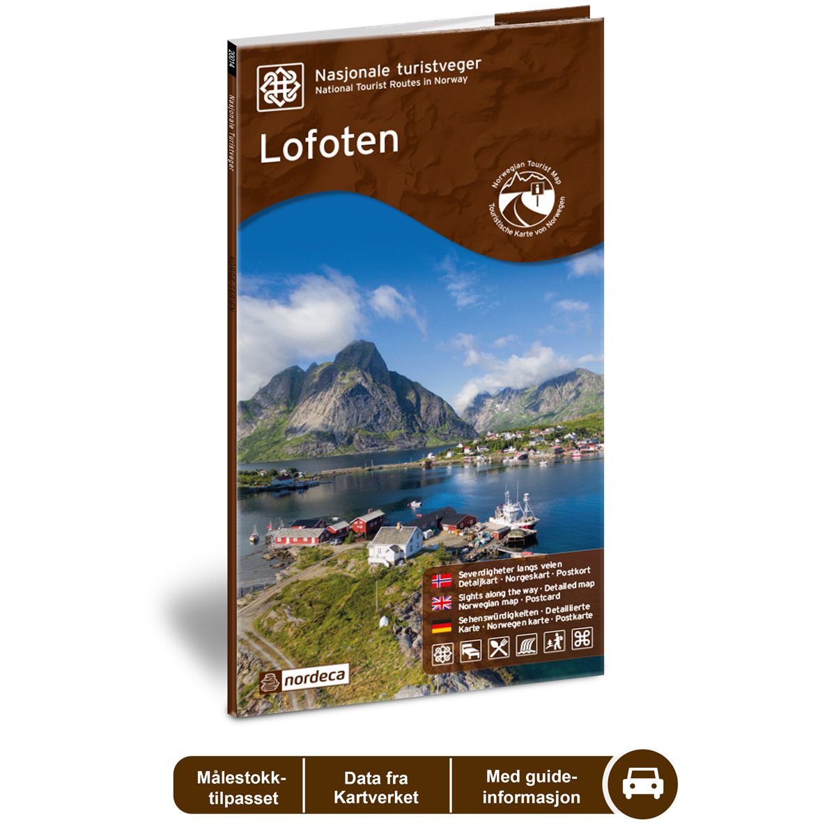
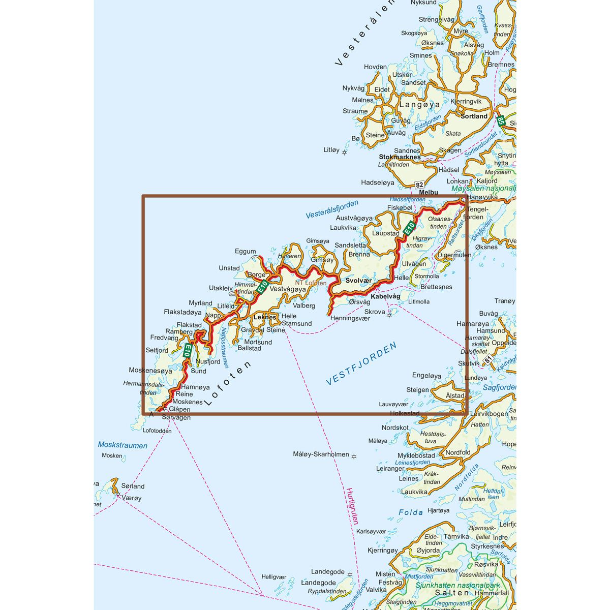


Lofoten National Scenic Routes
Road map for Norway’s most beautiful routes.
- The map covers Å, tamsund, Reine, Vestvågøy, Henningsvær og Svolvær
- The map has expired. An alternative map is item no. 6002
€24.00
Out of stock
| Brand | Nordic Maps |
|---|---|
| SKU | 20014 |
| Map size | 70x100 cm |
| Scale | 1: 100 000 |
| Updated | 2014 |
| Material | Paper |
| Map usage | In the car, Sightseeing and activities |
| Accommodation | campsites, hotels |
| EAN | 7046660200148 |
| Partner | State Highways Authority |
| Map both sides | No |
| Country | Norway |
| Destinations | Å, Flakstad, Stamsund, Hamnøy, Reine, Ramberg, Vestvågøy, Henningsvær, Eggum, Kabelvåg, Svolvær. |
| Format | Foldable |
| Language | Norwegian, English, German |
| Series | National Scenic Routes |
The Lofoten National Tourist Route offers a drive through a magnificent natural landscape and vibrant coastal culture. The landscape ranges from dramatic views of the ocean and towering alpine peaks to white sandy beaches, fishing villages in snug harbours and lush farming villages. The Arctic light provides a special atmosphere for Lofoten. Whether you want to see the Midnight Sun, Northern Lights, or the deep blue light of the polar night, Lofoten is the place to go. Travel by both car and bicycle is easy in Lofoten and the area offers a wide range of activities. Be sure to spend plenty of time on this trip. There are few places you can feel as close to nature as the Lofoten National Tourist Route. Detours to Eggum, Unstad, Vikten, Utakleiv, Nusfjord and Henningsvær are all fantastic experiences. The Lofoten National Tourist Route (E10) extends between Å and Raftsundet, with side roads to Nusfjord, Vikten, Utakleiv, Unstad, Eggum and Henningsvær. The route is 230 km long. The route can be combined with Hurtigruten, ferries, the E6 highway and other National Tourist Routes.
National Scenic Routes
This map series will enable some wonderful experiences along the selected routes.
The maps indicate spectacular views, nature experiences, attractions, architecture, dining spots, overnight accommodations and places of interest. These are described in the map with text and photos.
The maps have been designed in cooperation with the Norwegian Public Roads Administration.
The products are available in
three languages - Norwegian, English and German.