Norway
  Deutsch
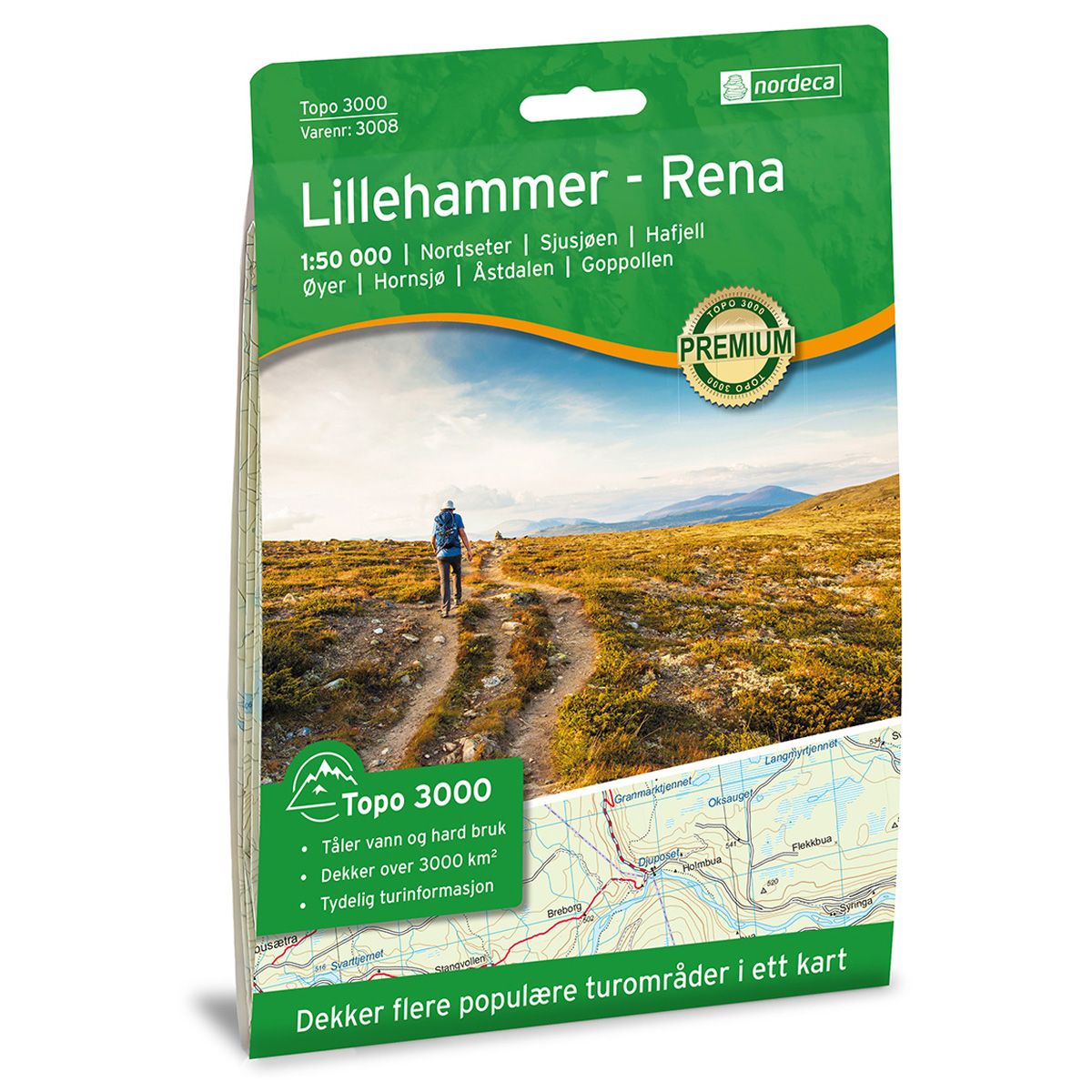
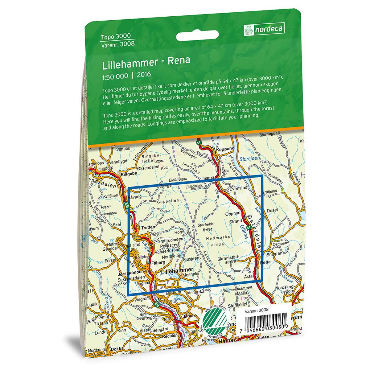
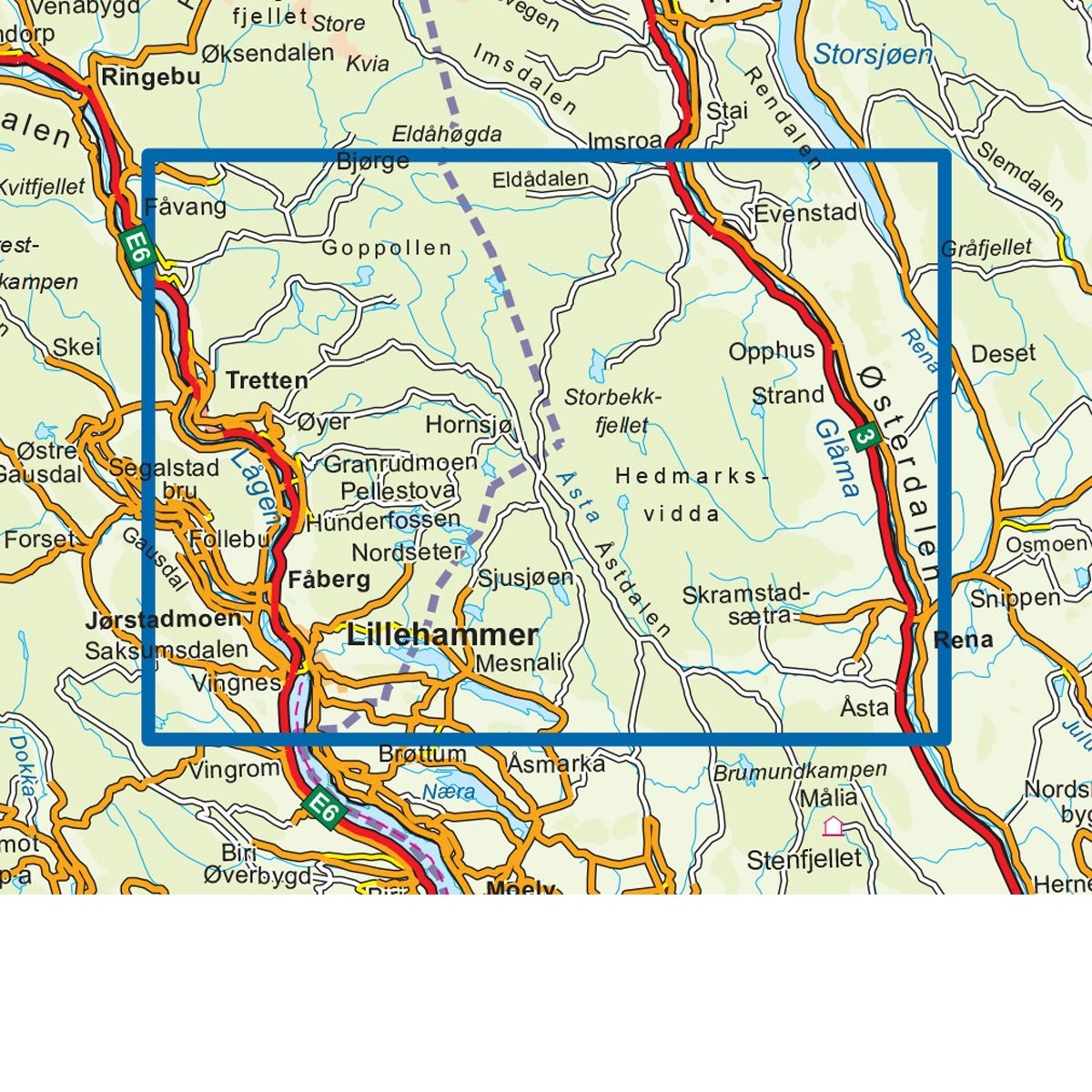
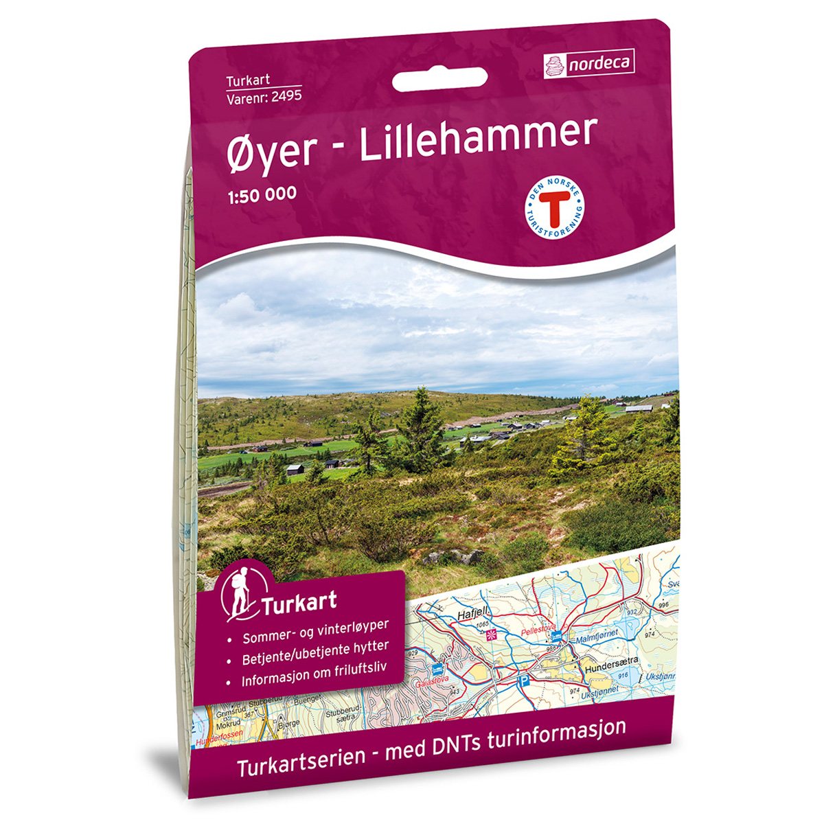

Lillehammer- Rena 1 :50 000 Topo 3000 hiking map
Covers popular trekking areas with highlighted trekking information
- The map covers Nordseter, Sjursjøen, Hafjell, Øyer, Åstdalen og Goppollen
- Scale 1:50 000 in water resistant material
€25.00
In stock
| Brand | Nordic Maps |
|---|---|
| SKU | 3008 |
| Map size | 70x100 cm |
| Scale | 1: 50 000 |
| Trails | Hiking trails |
| Updated | 2022 |
| Material | Plastic fiber |
| Map usage | Hiking, Cross Country |
| Accommodation | Serviced cabins, Unattended cabins, Self-catering cottages, hotels |
| EAN | 7046660030080 |
| Cabins in the map | Krokbua, Pellestova, Skolla, Båsstø, Djupslia, Bulonhytta, Steinhytta, Skjelbua, Vetåbua, Sandfløten, Halgutusveen, Åkersætra, Nordlandia Østerdalen, Godlidalshytta |
| Map both sides | Yes |
| Country | Norway |
| Destinations | Nordseter, Sjursjøen, Hafjell, Øyer, Hornsjø, Åstdalen, Goppollen |
| Format | Foldable |
| Language | Norwegian, English |
| Series | Topo 3000 |
Topo 3000 is a detailed map that covers more than 3000 km2. Lillehammer and Rena and vicinity have perfect conditions for various outdoor activities. Here you can experience varied and pristine nature as you wander through forest terrain, across open plains and mountain ridges with lovely views. Hafjell and Øyerfjellet offer great cross-country trails, hiking trails and cycling roads.
Topo 3000
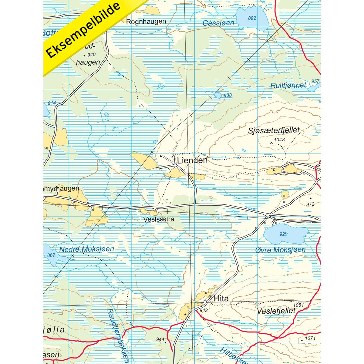
Topo 3000 is a detailed trail 1:50,000 scaled map with information from the Norwegian Mapping Authority. The map includes hiking trails, skiing trails and overnight accommodations. Trekking information is in bold type for better legibility. The trail map covers more than 3000 km2 and has been adapted to include several popular trekking areas.
The maps are printed on durable and weatherproof plastic fibre or paper material.
The series is continuously being updated to four different languages: Norwegian, English, German and Dutch.