
 Norway
  Deutsch
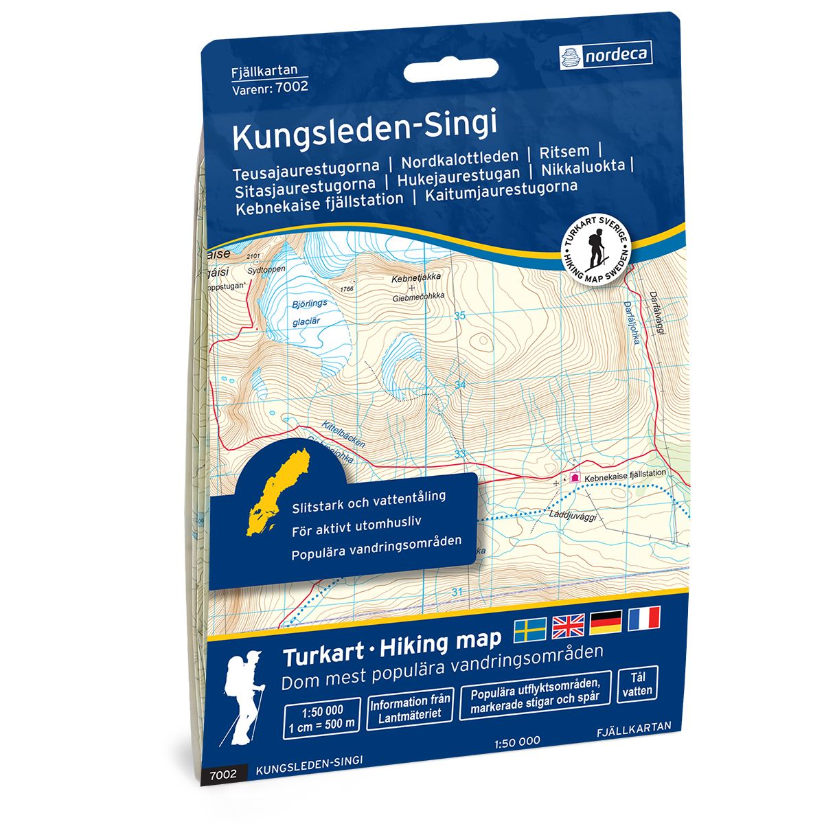
Kungsleden-Singi Swedish hiking map
Covers popular hiking areas with highlighted hiking information
- The map covers Ritsem, Nikkaluokta, Singi
- Scale 1:50 000 in water resistant material
€25.00
In stock

| Brand | Nordic Maps |
|---|---|
| SKU | 7002 |
| Map size | 70x100 cm |
| Scale | 1: 50 000 |
| Trails | Hiking trails |
| Updated | 2021 |
| Material | Plastic fiber |
| Map usage | Hiking, Cross Country |
| Accommodation | Cabins |
| Map both sides | Yes |
| Country | Sweden |
| Destinations | Ritsem, Nikkaluokta, Tarfala, Singi, Kaitumkätje, Kårtjevuolle, Kebnekaise, |
| Format | Foldable |
| Language | English, German, Dutch, Swedish |
| Series | Swedish Mountain Map |
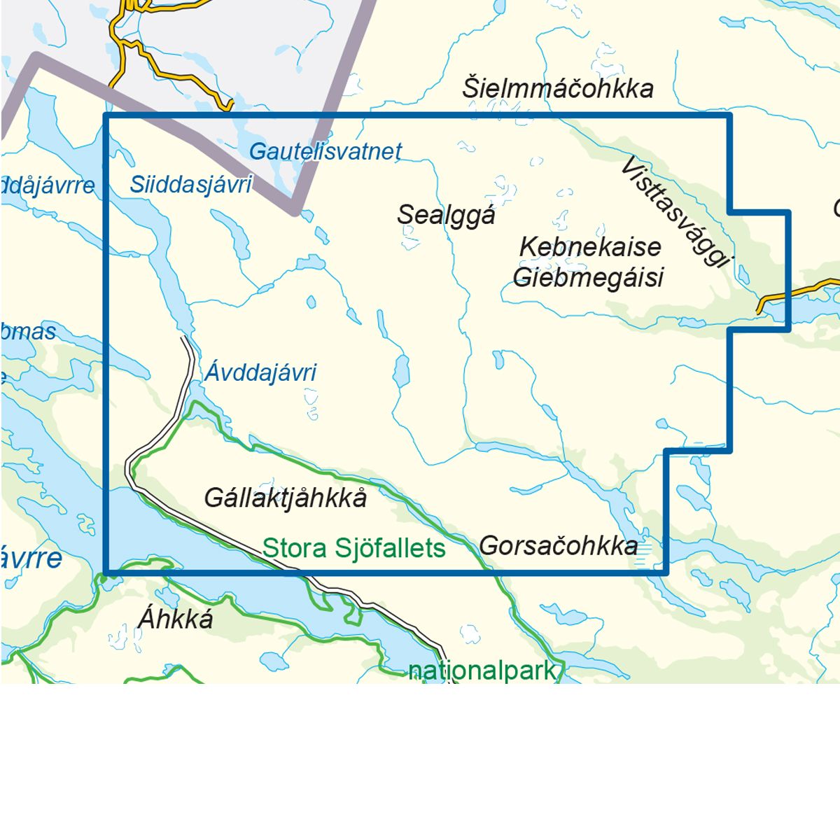
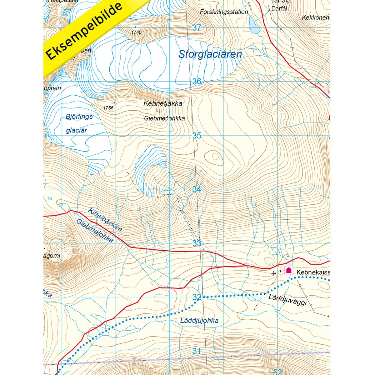
Mountain map Kungsleden – Singi is a detailed map that covers more than 3000 km2. This includes trails, mountain lodges and cabins in the area, which are clearly marked on the map. The map covers the Kungsleden Trail between Teusajaure cabins and the Tjäktjapasset mountain pass. The map also covers the route from the village of Nikkaluokta to the Vistas cabin. It also covers the Nordkalott Trail past the Hukejaure cabins, and on to the cabins of Sitasjaure and Ritsem. Ritsem is the perfect starting point for both hiking and ski trips in Sarek, Padjelanta and Stora Sjöfallets National Park. Mountain lodges and cabins are located on the map at the following sites: Teusajaure, Ritsem, Sitasjaure, Hukejaure, Kaitumjaure, Singi, Kebnekaise mountain station, Tarfalan, Nallostugan, Vistas. The Gautelis cabin and Skoaddejávre are located on the Norwegian side of the border.
Swedish hiking maps is a hiking map series on a scale of 1:50 000 with information from Lantmäteriet and the Mapping Authority. The maps contain hiking trails, ski trails and accommodations. The tour information is highlighted for even better readability. The hiking map covers over 3000 km2 and is adapted so that it covers several popular hiking areas.
The series is available in four languages, Swedish, German, English and Dutch.
The maps are printed on durable and weather-resistant plastic fiber material
The series is available in four languages, Swedish, German, English and Dutch.
The maps are printed on durable and weather-resistant plastic fiber material