
 Norway
  Deutsch
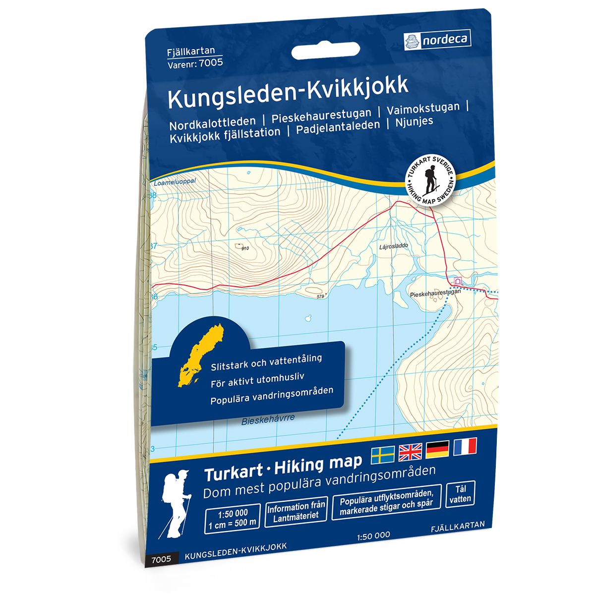
Kungsleden-Kvikkjokk Swedish hiking map
Covers popular hiking areas with highlighted hiking information
- The map covers Kvikkjokk, Njunjes, Pårek
- Scale 1:50 000 in water resistant material
€25.00
In stock
| Brand | Nordic Maps |
|---|---|
| SKU | 7005 |
| Map size | 70x100 cm |
| Scale | 1: 50 000 |
| Trails | Hiking trails |
| Updated | 2021 |
| Material | Plastic fiber |
| Map usage | Hiking, Cross Country |
| Accommodation | Cabins |
| Map both sides | Yes |
| Country | Sweden |
| Destinations | Kvikkjokk, Njunjes, Pårek, |
| Format | Foldable |
| Language | English, German, Dutch, Swedish |
| Series | Swedish Mountain Map |
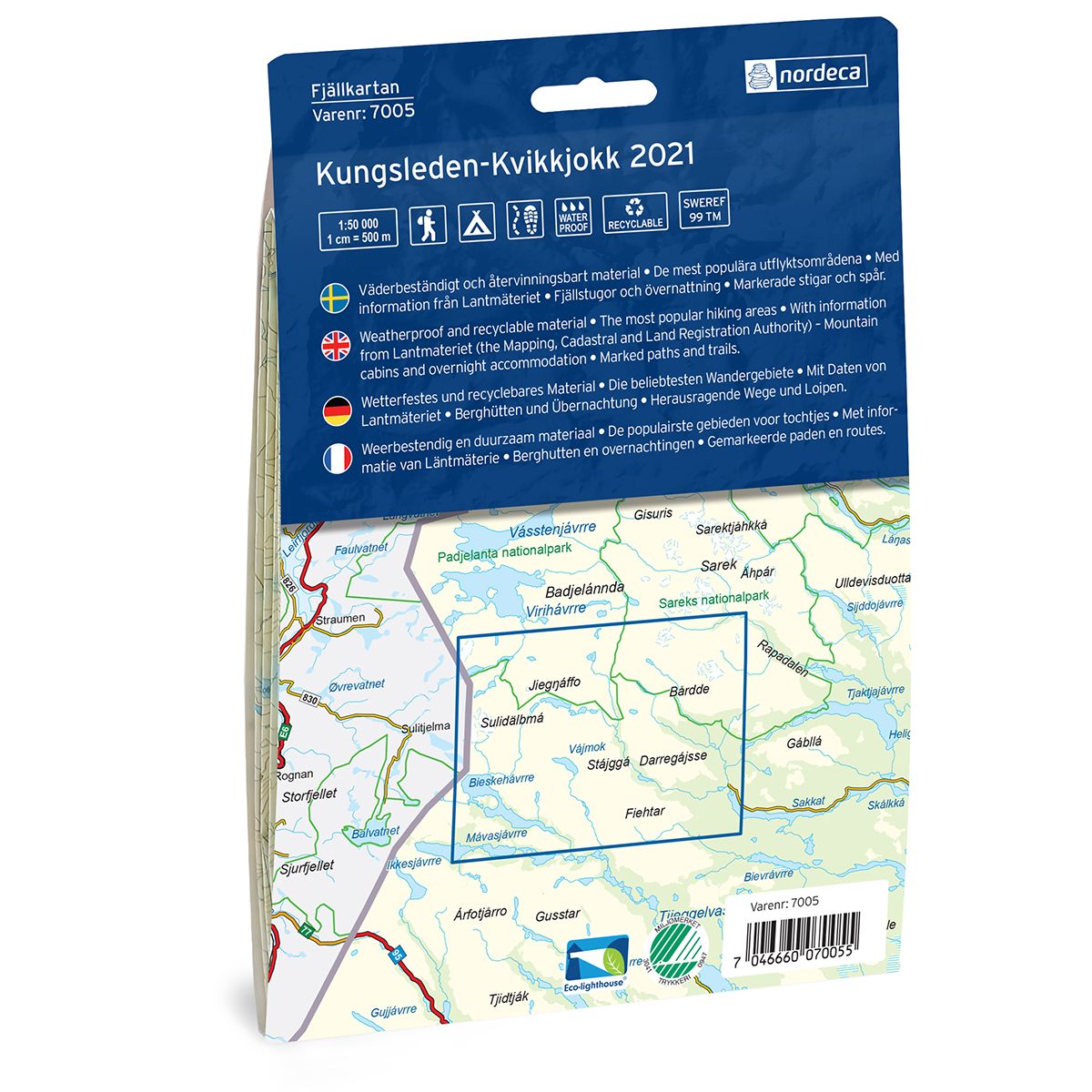
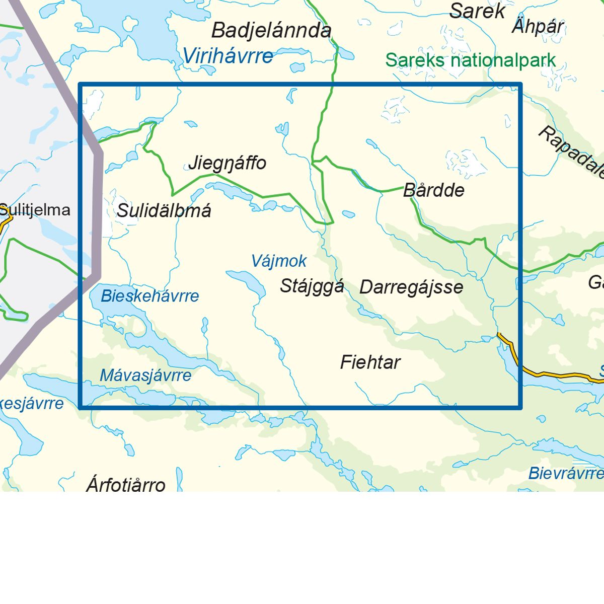
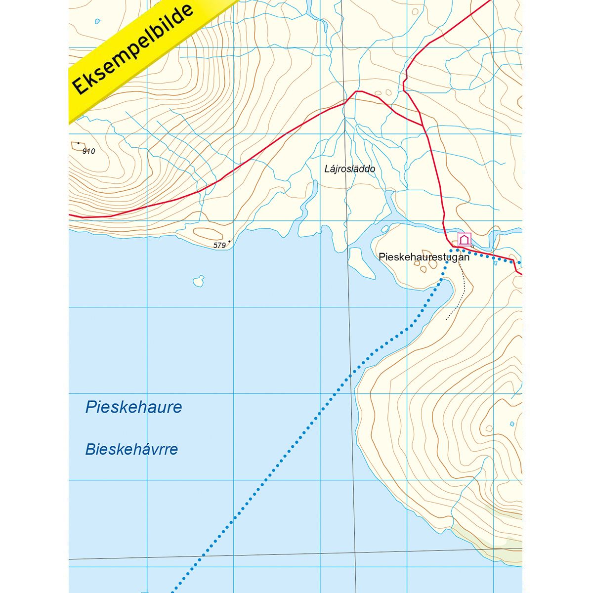
Mountain map Kungsleden – Kvikkjokk is a detailed map that covers more than 3000 km2. This includes trails, mountain lodges and cabins in the area, which are clearly marked on the map. The map covers the Kungsleden Trail, which passes by the Kvikkjokk mountain station. It also covers the area from Kvikkjokk in the east, past Tarradalen and on to the national border in the west. In addition to the Kungsleden Trail, the map also covers the Padjelanta Trail and the Nordkalott Trail, with numerous cabins along the paths. There are also several mountain peaks and glaciers in the area, which offer a unique nature experience. The Kvikkjokk mountain station is the perfect starting point for trips, whether you choose to follow Kungsleden or the Nordkalott Trail. Kungsleden passes through Kvikkjokk, and the place also marks the starting point or end point of the Nordkalott Trail. Mountain lodges and cabins are located on the map at the following sites: Stáddájåhkå, Sårjåsjaure, Duottar, Pieskehaure, Vaimok, Darreluoppal, Såmmarlappastugan, Kvikkjokk mountain station and Njunjes. The Muorki cabin is on the Norwegian side of the border.
Swedish hiking maps is a hiking map series on a scale of 1:50 000 with information from Lantmäteriet and the Mapping Authority. The maps contain hiking trails, ski trails and accommodations. The tour information is highlighted for even better readability. The hiking map covers over 3000 km2 and is adapted so that it covers several popular hiking areas.
The series is available in four languages, Swedish, German, English and Dutch.
The maps are printed on durable and weather-resistant plastic fiber material
The series is available in four languages, Swedish, German, English and Dutch.
The maps are printed on durable and weather-resistant plastic fiber material