
 Norway
  Deutsch
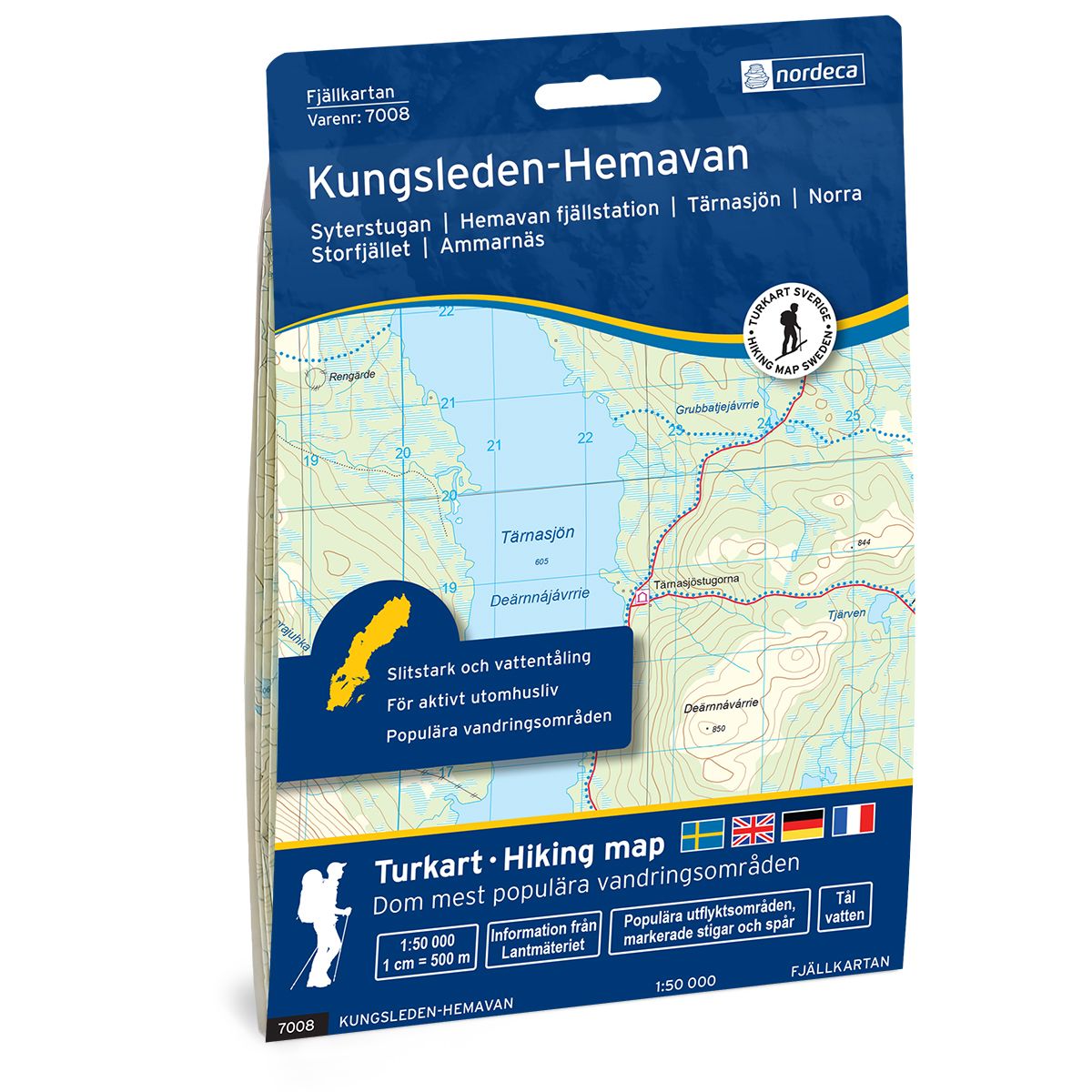
Kungsleden-Hemavan Swedish hiking map
Covers popular hiking areas with highlighted hiking information
- The map covers Hemavan, Ammarnäs, Umfors
- Scale 1:50 000 in water resistant material
€25.00
In stock
| Brand | Nordic Maps |
|---|---|
| SKU | 7008 |
| Map size | 70x100 cm |
| Scale | 1: 50 000 |
| Trails | Hiking trails |
| Updated | 2021 |
| Material | Plastic fiber |
| Map usage | Hiking, Cross Country |
| Accommodation | Cabins |
| Map both sides | Yes |
| Country | Sweden |
| Destinations | Hemavan, Ammarnäs, Umfors, Umasjö, Rukkon, |
| Format | Foldable |
| Language | English, German, Dutch, Swedish |
| Series | Swedish Mountain Map |
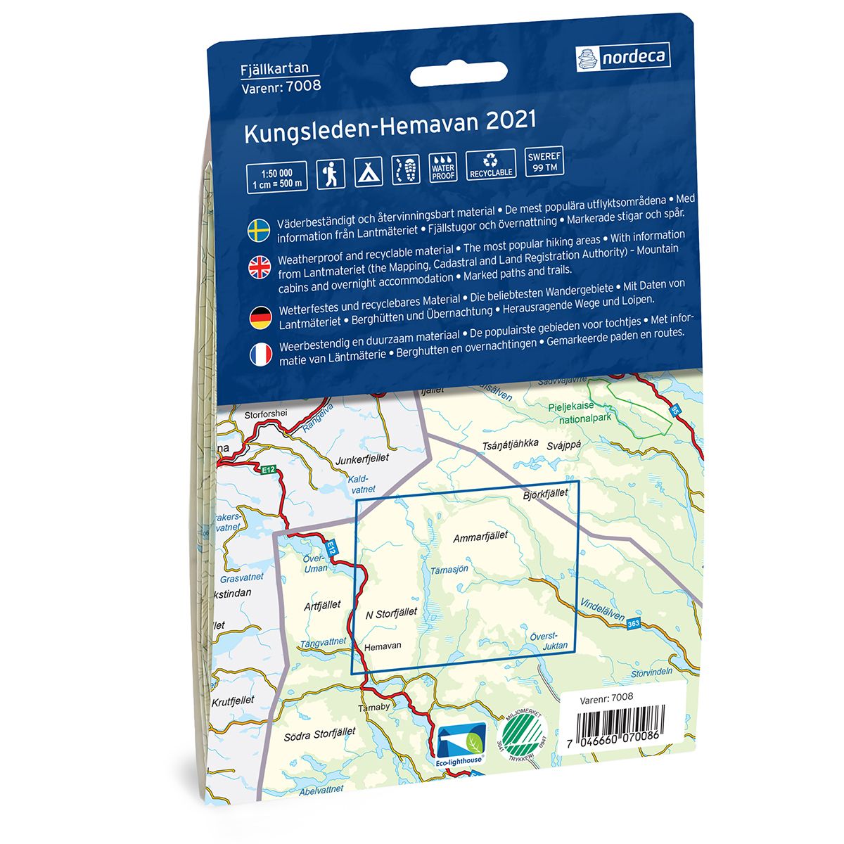
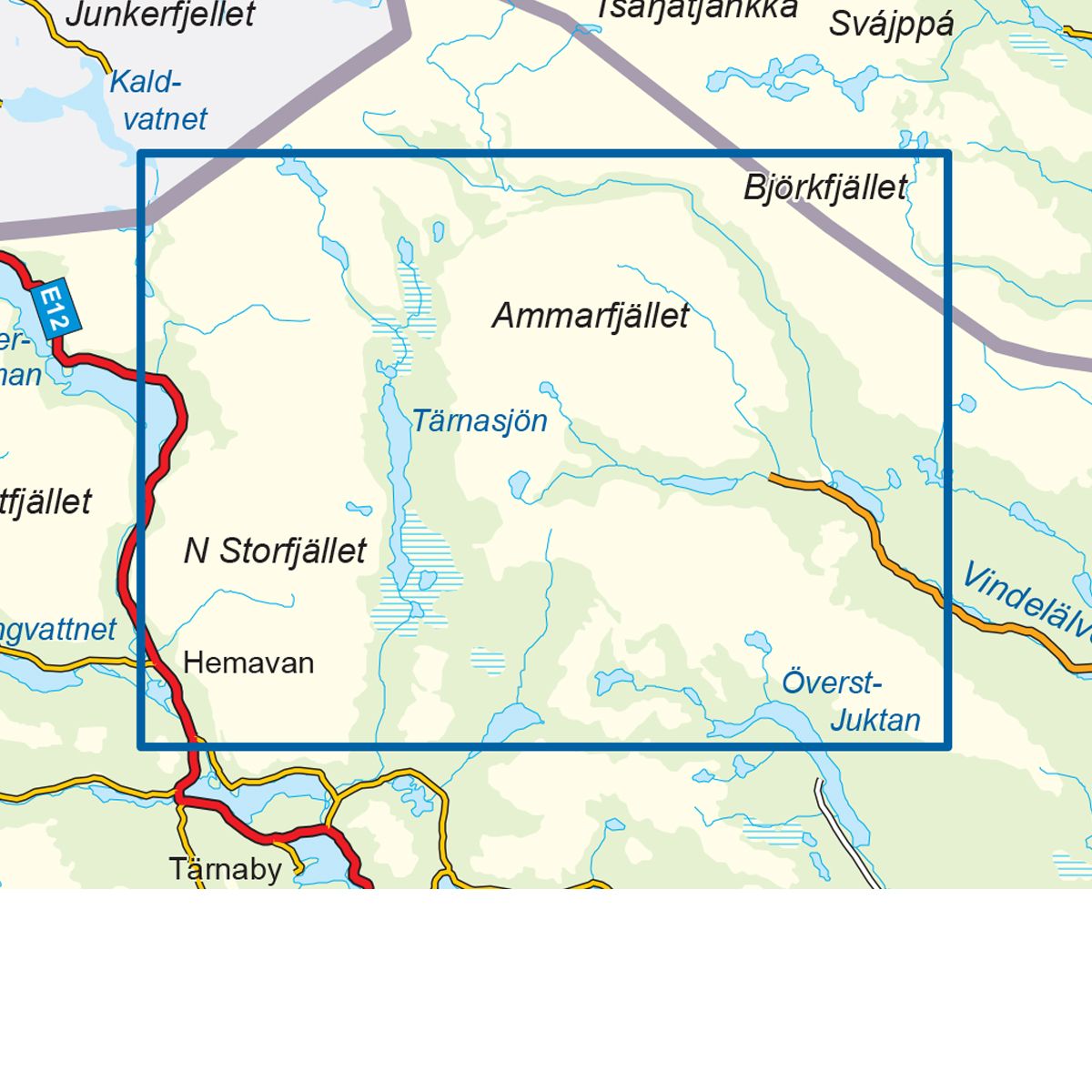
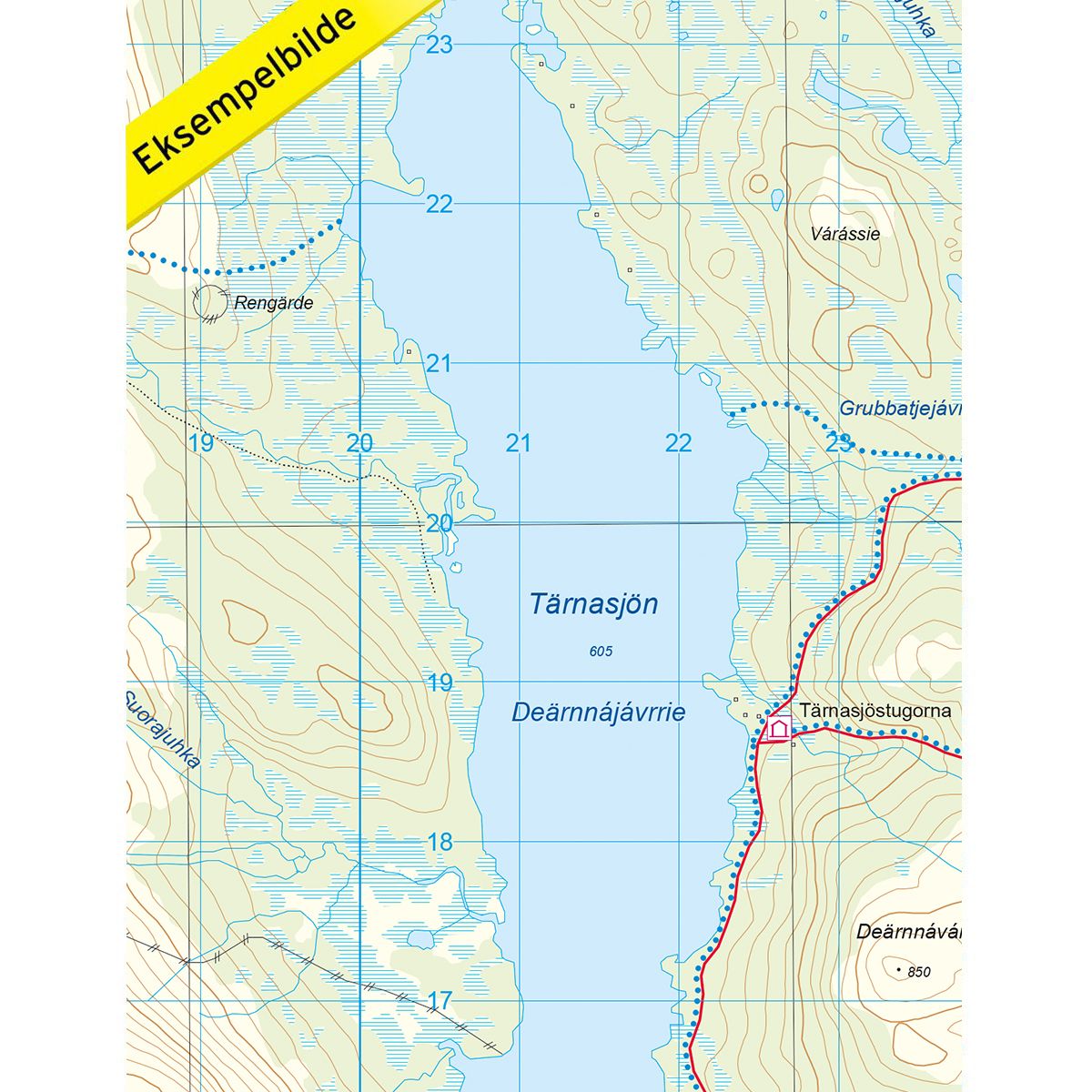
Mountain map Kungsleden – Hemavan is a detailed map that covers more than 3000 km2. This includes trails, mountain lodges and cabins in the area, which are clearly marked on the map. The map covers the southernmost part of the Kungsleden Trail between Hemavan, across Tärnasjön lake and on to Ammarnäs, with its many cabins along the way. The map also covers the Kungsleden route northward from Ammarnäs by Björkfjället toward Adolfsström. The Kungsleden Trail, more than 400 km long, is one of the world’s most well-known hiking routes, starting at Hemavan and stretching all the way to Abisko in the north. This route will take you through a varied landscape through Lappland’s mountain region, with its lakes, mountain peaks, idyllic mountain villages and four national parks. The route is varied and suitable for both new and experienced wanderers. Mountain lodges and cabins are located on the map at the following sites: Vatjosjö, Serven, Aigert, Rävfalls, Östra Vitnjul, Västra Vitnjul, Mankefors, Hemavan mountain station, Viterskals, Syterskalet, Syter, Tärnasjö, Jire, Glimmern, Skidbäcks and Dalavardo. The Kvitsteindalstunet cabin is located on the Norwegian side of the border.
Swedish hiking maps is a hiking map series on a scale of 1:50 000 with information from Lantmäteriet and the Mapping Authority. The maps contain hiking trails, ski trails and accommodations. The tour information is highlighted for even better readability. The hiking map covers over 3000 km2 and is adapted so that it covers several popular hiking areas.
The series is available in four languages, Swedish, German, English and Dutch.
The maps are printed on durable and weather-resistant plastic fiber material
The series is available in four languages, Swedish, German, English and Dutch.
The maps are printed on durable and weather-resistant plastic fiber material