
 Norway
  Deutsch
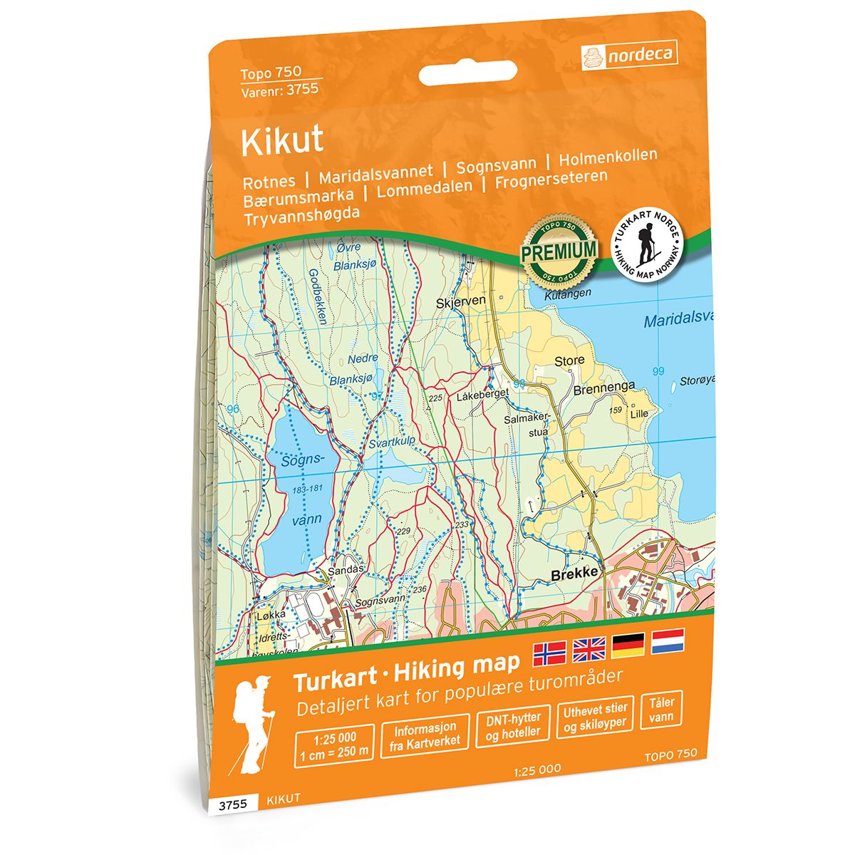
Kikut Topo 750 hiking map
- The map covers Rotnes, Varingskollen, Maridalsvannet, Sognsvann, Holmenkollen
- Scale 1:25 000 in water resistant material
| Brand | Nordic Maps |
|---|---|
| SKU | 3755 |
| Map size | 70x100 cm |
| Scale | 1: 25 000 |
| Trails | Hiking trails |
| Updated | 2021 |
| Material | Plastic fiber |
| Map usage | Hiking, Cross Country |
| Accommodation | Serviced cabins, Unattended cabins, Self-catering cottages, hotels |
| Map both sides | Yes |
| Country | Norway |
| Destinations | Rotnes, Varingskollen, Maridalsvannet, Sognsvann, Holmenkollen, Bærumsmarka, Lillomarka, Appelsinhaugen, Lommedalen, Frognerseteren, Tryvannshøgda |
| Format | Foldable |
| Language | Norwegian, English |
| Series | Topo 750 |
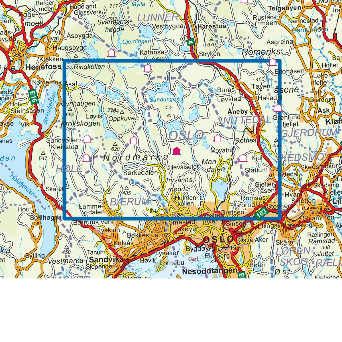
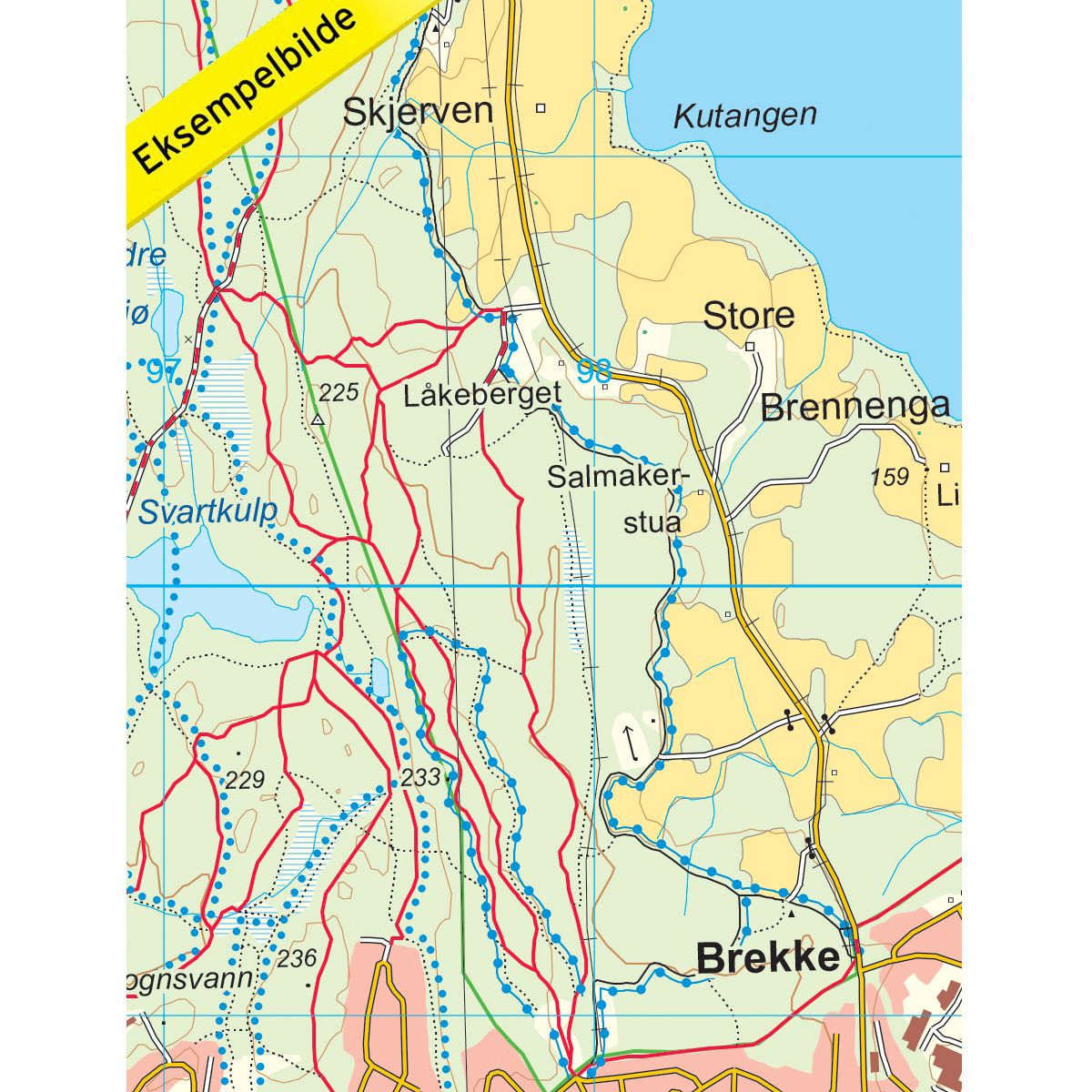
Topo 750 Kikut is a detailed map covering 750 km2. Here you will find many hiking trails, ski trails, light trails and accommodations that are clearly marked on the map. The map extends from Gyrihaugen in the west to Gjelleråsen and Stovner in the east. Gyrihaugen is a hill located west of Løvlia on Krokskogen in Nordmarka and has a fantastic vantage point where you can see all the way to the Oslofjord, Gaustadtoppen and Norefjell. Kikutstua is located in the middle of Nordmarka on the north side of Bjørnsjøen and is the most important hub for the many hiking routes in this part of the field. This is a great starting point for the many great hiking opportunities that exist in the area around Nordmarka. The map covers several popular hiking areas such as Skjennungsåsen, Tryvannshøgda, Kopperhaugene, Maridalsvannet, Holmenkollen and Frognerseteren. The map is enriched with a lot of good hiking information such as marked trails, DNT cabins, light trails and ski trails. Examples of cabins on the map: Frognerseteren, Fuglemyrhytta, Tryvannsstua, Sjennungstua, Nordmarkskapellet, Studenterhytta, Kobberhaughytta, Bjørnholt, Gørjahytta, Store Tømtehytta, Lille Tømtehytta, Lilloseter, Bekkestua, Bogstad, Bogstad, Brunkollen kapashut, Nyk Smedmyrkoia, Finnerud, Kikutstua, Myrsetra, Heggelia, Damtjern, Katnosdammen.
Topo 750 is a detailed trail 1:50,000 scaled map with information from the Norwegian Mapping Authority. The map includes hiking trails, skiing trails and overnight accommodations. Trekking information is in bold type for better legibility. The trail map covers more than 3000 km2 and has been adapted to include several popular trekking areas.
The maps are printed on durable and weatherproof plastic fibre or paper material.
The series is continuously being updated to four different languages: Norwegian, English, German and Dutch.