Norway
  Deutsch
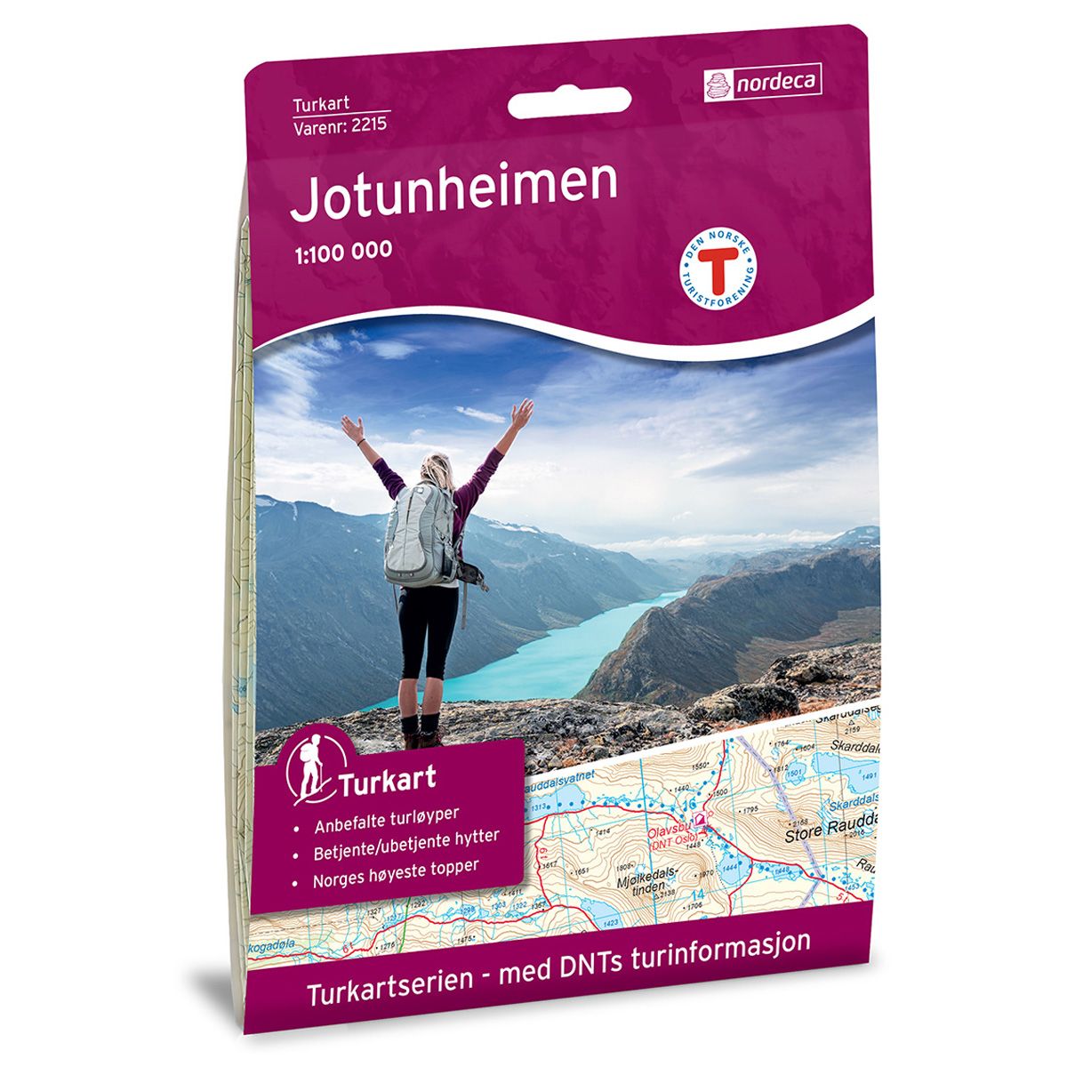
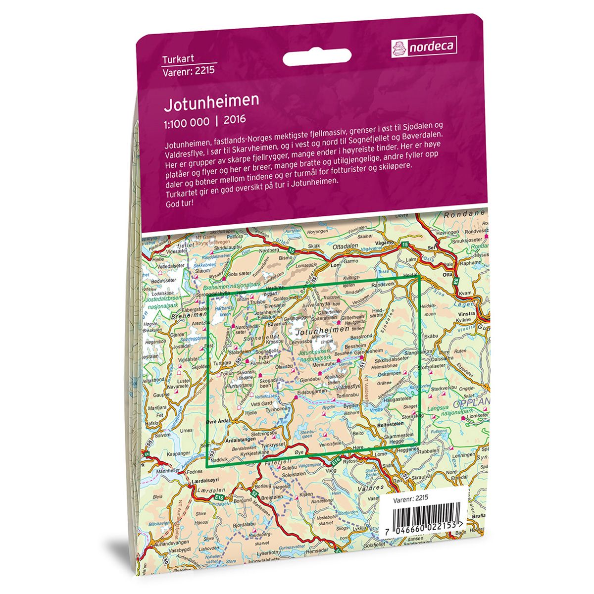
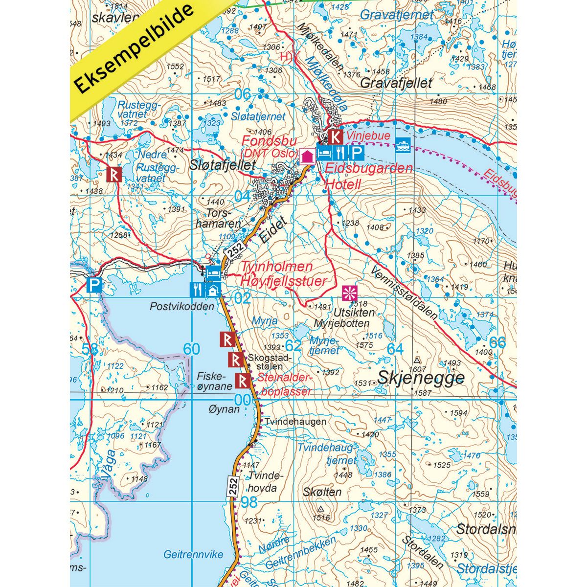


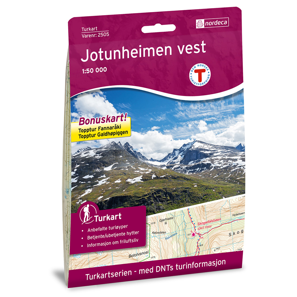
Jotunheimen DNT hiking map
Map with Norwegian Trekking Association information about trails and cabins.
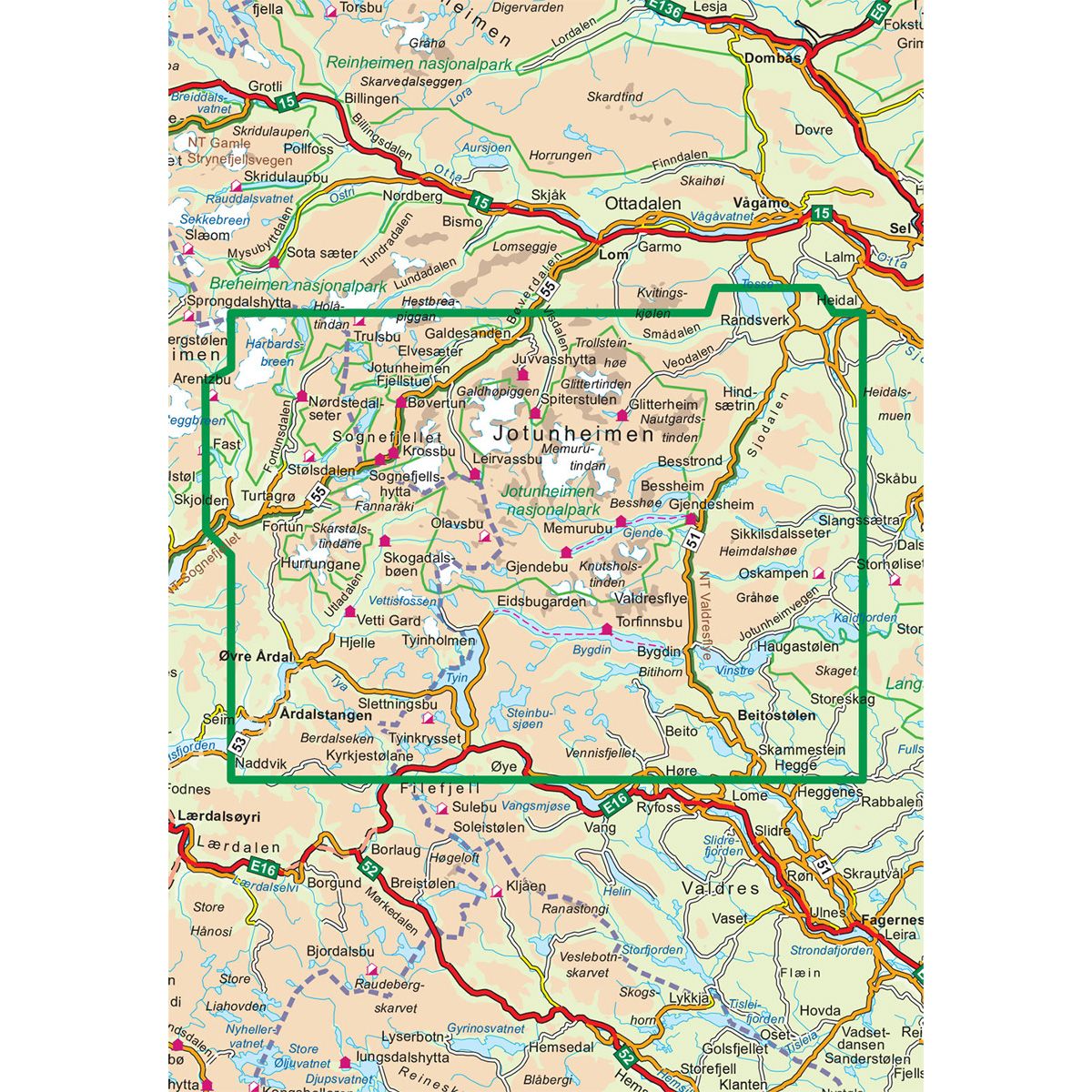
- The map covers Beitostølen, Hurrungane, Jotunheimen, Sognefjellet og Årdal
- Scale 1:100 000 in water resistant material
€24.00
In stock
| Brand | Nordic Maps |
|---|---|
| SKU | 2215 |
| Map size | 70x100 cm |
| Scale | 1: 100 000 |
| Trails | Hiking trails |
| Updated | 2016 |
| Material | Plastic fiber |
| Map usage | Hiking, Cross Country |
| Accommodation | Serviced cabins, Unattended cabins, Self-catering cottages, hotels |
| Attractions | Sognefjell |
| EAN | 7046660022153 |
| Cabins in the map | Gravdalen, Yddin feriehytter, Tyinkrysset, Tomashelleren, Grønolen, Beitostølen, Beito, Tyinstølen, Slettningsbu, Storeskag, Yksendalsbu, Bygdin høyfjellshotell, Kamben, Haugseter fjellstue, Titrabu, Torfinnsbu, Tyinholmen høyfjellsstuer, Avdalen, Vetti Gard turiststasjon, Ingjerdbu, Fondsbu, Eidsbugarden hotell, Buhøbua, Valdresflya vandrehjem, Stølsmaradalen, Nybue, Kluftbua, Oskampen, Sandbakken, Gjendehytta, Gjendebu, Storadalshytta, Olavsbu, Skogadalsbøen, Skagastølsbu, Fuglesteg, Steinbua, Memurubu, Gjendesheim, Maurvangen, Sikkilsdalsseter, Langvassbua, Turtagrø, Bessheim, Fannaråkhytta, Besstrondsæter, Postfuru, Leirvassbu, Stølsdalen, Sognefjellshytta, Krossbu, Hindsæter, Glitterheim, Spiterstulen, Nørdstedalseter, Bøverton, Bøvertjønnen, Heranosbua, Saubua, Grønbua, Bergenussbuene, Juvasshytta, Leirmoen camping, Jotunheimen fjellstue, Elveseter hotell, Medalsbu, Trulsbu, Geitåbua, Galde uppigard, Lund camping, Raudbergstulen, Galdesanden camping, Bøverdalen vandrehjem, Jotunheimen feriesenter, Randsverk, Lemonsjø fjellstue, Røisheim |
| Partner | The Norwegian Trekking Association |
| Map both sides | No |
| Country | Norway |
| Destinations | Beito, Beitostølen, Bygdin, Bøverdalen, Eidsbugarden, Fortun, Galdhøpiggen, Gjende, Glittertinden, Harbardsbreen, Hestbreapiggan, Hurrungane, Jotunheimen, Jotunheimen nasjonalpark, Kaldfjorden, Knutsholstinden, Nautgardstinden, Randsverk, Sjodalen, Skarstølstindane, Skjolden, Smådalen, Sognefjellet, Steinbusjøen, Storeskag, Tesse, Tyin, Tyinkrysset, Utladalen, Valdresflye, Veodalen, Vinstre, Årdalstangen, Øvre Årdal |
| Format | Foldable |
| Language | Norwegian, English |
| Series | Hiking maps |
Jotunheimen, the most majestic mountain range in mainland Norway, borders Sjodalen and Valdresflye to the east, Skarvheimen to the south, and Sognefjellet and Bøverdalen to the west and north. The range includes jagged mountain ridges, many of which rise to towering peaks. Here are high plateaus and plains. Here are also glaciers, many steep and inaccessible, while others fill valleys and canyons between the peaks, and are trekking destinations for both hikers and skiers. The trail map provides a good overview of trails in Jotunheimen.
DNT hiking maps
This map series was developed in cooperation with The Norwegian Trekking Association (DNT) and contains DNT trails, cabins and other useful trekking information. A few of the maps also have ski trails.
The DNT maps are published in three different scales (levels of detail).
1:25 000 for more defined and detailed information. Suitable for shorter treks.
1:50 000 is the optimal scale for treks.
1:100 000 offers a good overview of larger areas and is useful when planning trips.
The maps are printed on durable and weatherproof plastic fibre or paper material.
Language: Norwegian and English