Norway
  Deutsch
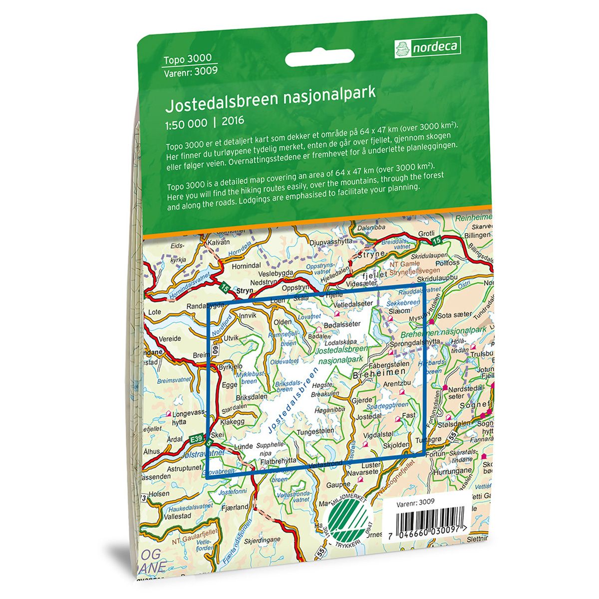
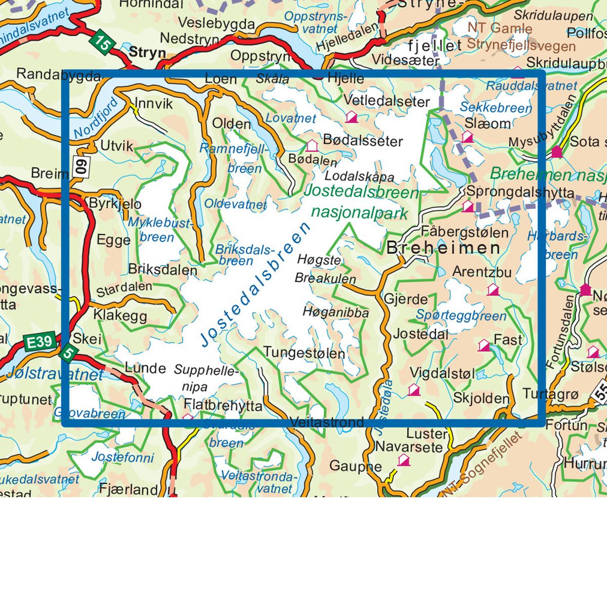


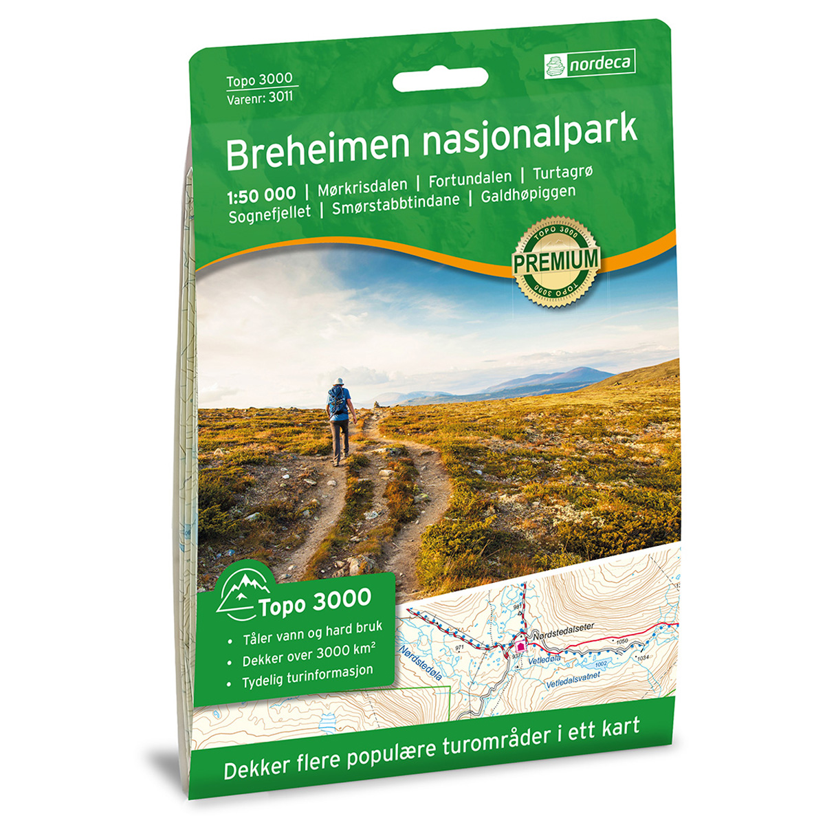
Jostedalsbreen Nasjonalpark Topo 3000 hiking map
Covers popular trekking areas with highlighted trekking information
- The map covers Olden, Briksdalsbreen, Jostedalen, Nigardsbreen og Mørkisdalen
- Scale 1:50 000 in water resistant material
€25.00
In stock
| Brand | Nordic Maps |
|---|---|
| SKU | 3009 |
| Map size | 70x100 cm |
| Scale | 1: 50 000 |
| Trails | Hiking trails |
| Updated | 2016 |
| Material | Plastic fiber |
| Map usage | Hiking, Cross Country |
| Accommodation | Serviced cabins, Unattended cabins, Self-catering cottages, hotels |
| EAN | 7046660030097 |
| Cabins in the map | Briksdalsbre Fjellstove, Høyset, Karistova, Fivla, Holmevasshytta, Arentzbu, Fast, Sprongdalshytta, Bødalsseter, Slæom, Vetledalseter, Skålatårnet |
| Map both sides | Yes |
| Country | Norway |
| Destinations | Olden, Briksdalsbreen, Jostedalen, Nigardsbreen, Mørkisdalen, Jølster |
| Format | Foldable |
| Language | Norwegian, English |
| Series | Topo 3000 |
Topo 3000 is a detailed map that covers more than 3000 km2. Jostedalen has a wildly diverse natural landscape, from lush deciduous forests in the lowland to glaciers and tall mountains. Here you can paddle a kayak in Jostedalen, try rafting in the Jostedøla river, book a guided tour of the glaciers, or visit Blåisgrotta cave under the Nigardsbreen glacier.
Topo 3000
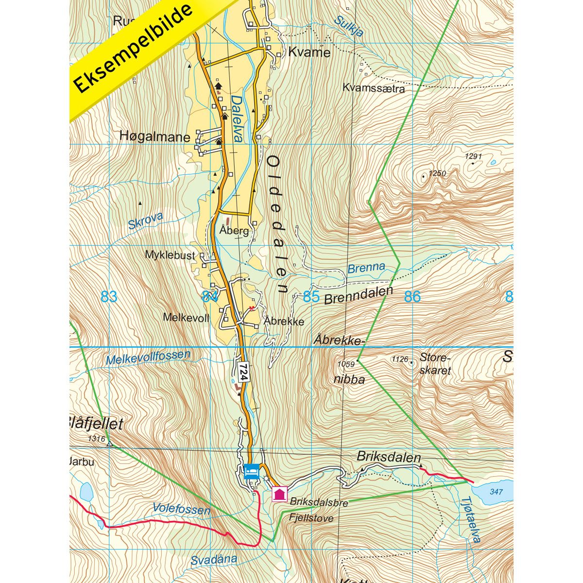
Topo 3000 is a detailed trail 1:50,000 scaled map with information from the Norwegian Mapping Authority. The map includes hiking trails, skiing trails and overnight accommodations. Trekking information is in bold type for better legibility. The trail map covers more than 3000 km2 and has been adapted to include several popular trekking areas.
The maps are printed on durable and weatherproof plastic fibre or paper material.
The series is continuously being updated to four different languages: Norwegian, English, German and Dutch.