
 Norway
  Deutsch
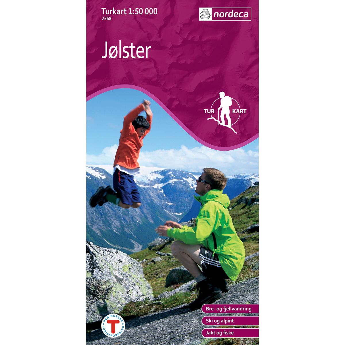
Jølster DNT hiking map
Map with Norwegian Trekking Association information about trails and cabins.
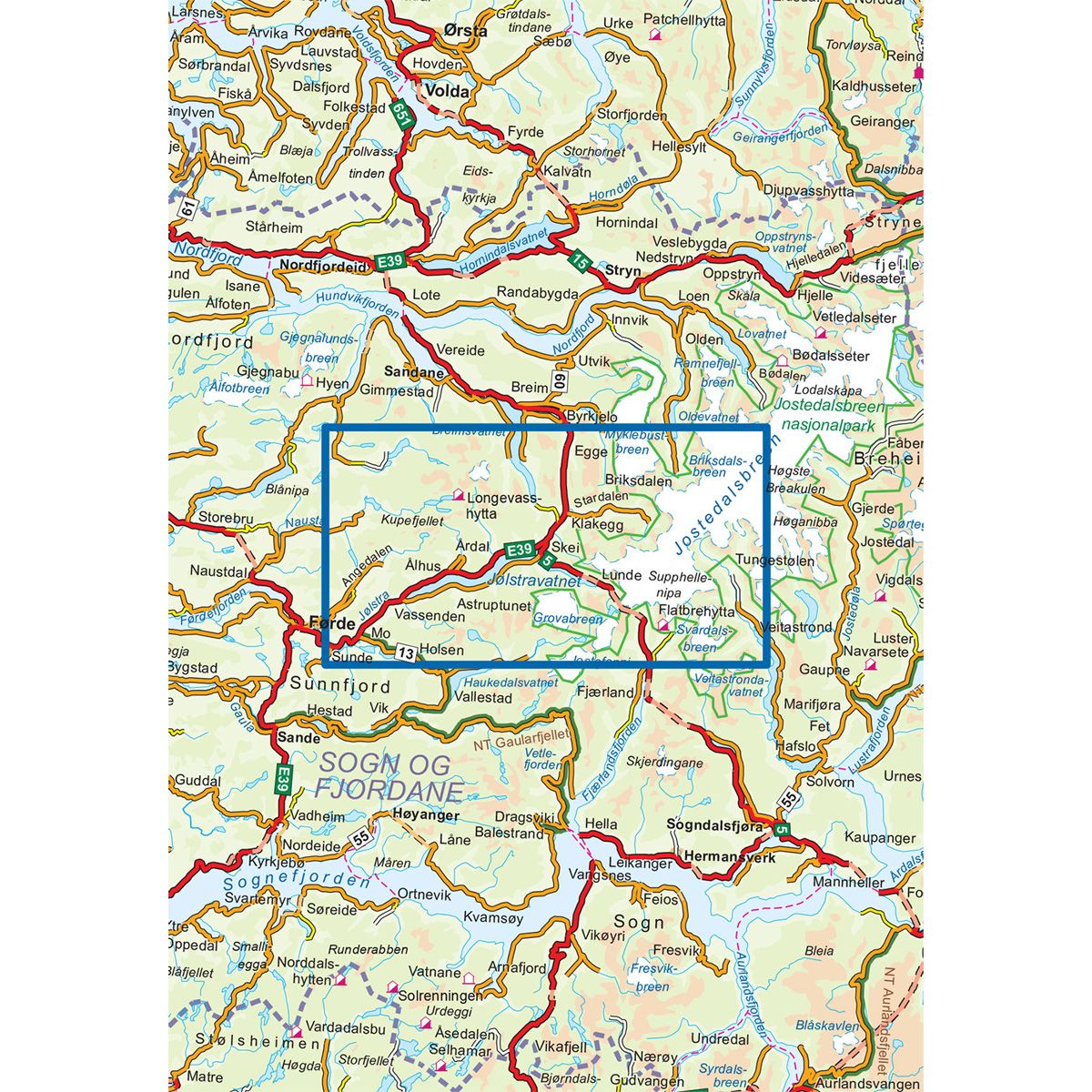
- The map covers Kupefjellet, Jostedalsbreen, Nausta, Skei, Sogn og Fjordane
- Scale 1:50 000
Special Price
€20.00
Regular Price
€24.00
In stock
| Brand | Nordic Maps |
|---|---|
| SKU | 2568 |
| Map size | 70x100 cm |
| Scale | 1: 50 000 |
| Trails | Hiking trails |
| Updated | 2010 |
| Material | Paper |
| Map usage | Hiking |
| Accommodation | Serviced cabins, Unattended cabins, Self-catering cottages, hotels |
| EAN | 7046660025680 |
| Partner | The Norwegian Trekking Association |
| Map both sides | No |
| Country | Norway |
| Destinations | Breimsvatnet, Jostedalsbreen, Jostedalsbreen nasjonalpark, Jostefonni, Jølstravatnet, Kupefjellet, Nausta, Skei, Sogn og Fjordane |
| Format | Foldable |
| Language | Norwegian, English |
| Series | Hiking maps |
The natural landscape of Jølster offers a wide range of experiences in both summer and winter. Here you will find trails across all types of terrain, including glaciers. Bring along a fishing pole. There is good fishing in the many lakes and rivers throughout the municipality.
DNT hiking maps
This map series was developed in cooperation with The Norwegian Trekking Association (DNT) and contains DNT trails, cabins and other useful trekking information. A few of the maps also have ski trails.
The DNT maps are published in three different scales (levels of detail).
1:25 000 for more defined and detailed information. Suitable for shorter treks.
1:50 000 is the optimal scale for treks.
1:100 000 offers a good overview of larger areas and is useful when planning trips.
The maps are printed on durable and weatherproof plastic fibre or paper material.
Language: Norwegian and English