
 Norway
  Deutsch
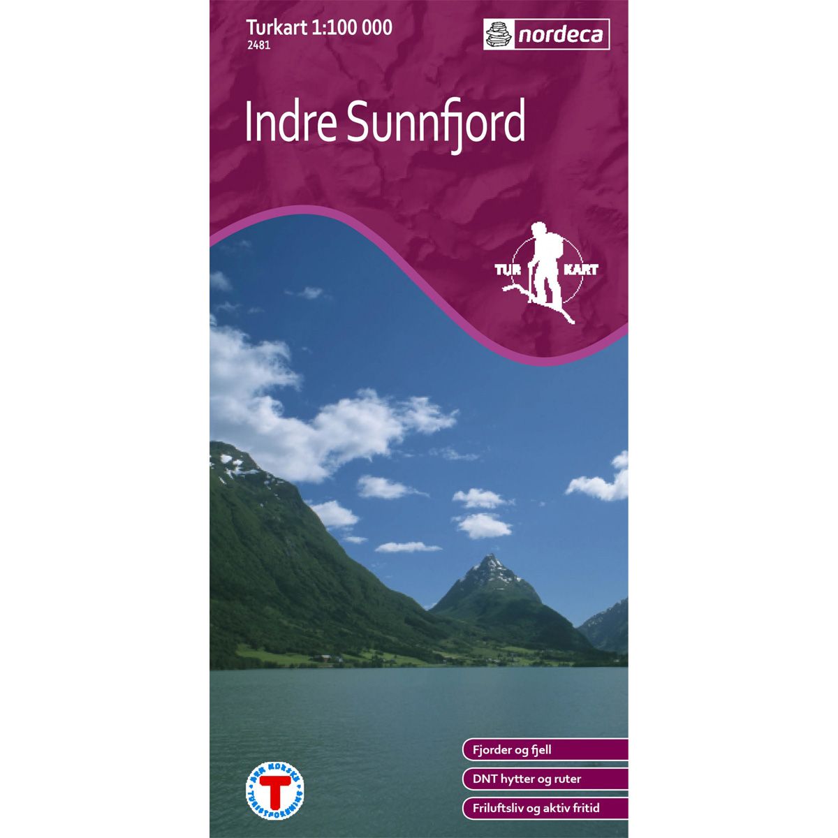
Indre Sunnfjord DNT hiking map
Map with Norwegian Trekking Association information about trails and cabins.
- Scale 1:100 000
€24.00
In stock
| Brand | Nordic Maps |
|---|---|
| SKU | 2481 |
| Map size | 70x100 cm |
| Scale | 1: 100 000 |
| Trails | Hiking trails |
| Updated | 2011 |
| Material | Paper |
| Map usage | Hiking |
| Accommodation | Serviced cabins, Unattended cabins, Self-catering cottages, hotels |
| EAN | 7046660024812 |
| Partner | The Norwegian Trekking Association |
| Map both sides | No |
| Country | Norway |
| Destinations | Anda, Breimsvatnet, Byrkjelo, Dragsviki, Fjærland, Fjærlandsfjorden, Førde, Gaula, Haukedalsvatnet, Hella, Hermansverk, Hornindalsvatnet, Høyanger, Jostedalsbreen, Jostedalsbreen nasjonalpark, Jostefonni, Jølstravatnet, Kupefjellet, Leikanger, Lote, Nausta, Naustdal, Olden, Oldevatnet, Ortnevik, Sandane, Sande, Skei, Sogn, Sogn og Fjordane, Sognefjorden, Stryn, Vadheim, Vangsnes, Ålfotbreen, Ålfoten |
| Format | Foldable |
| Language | Norwegian, English |
| Series | Hiking maps |
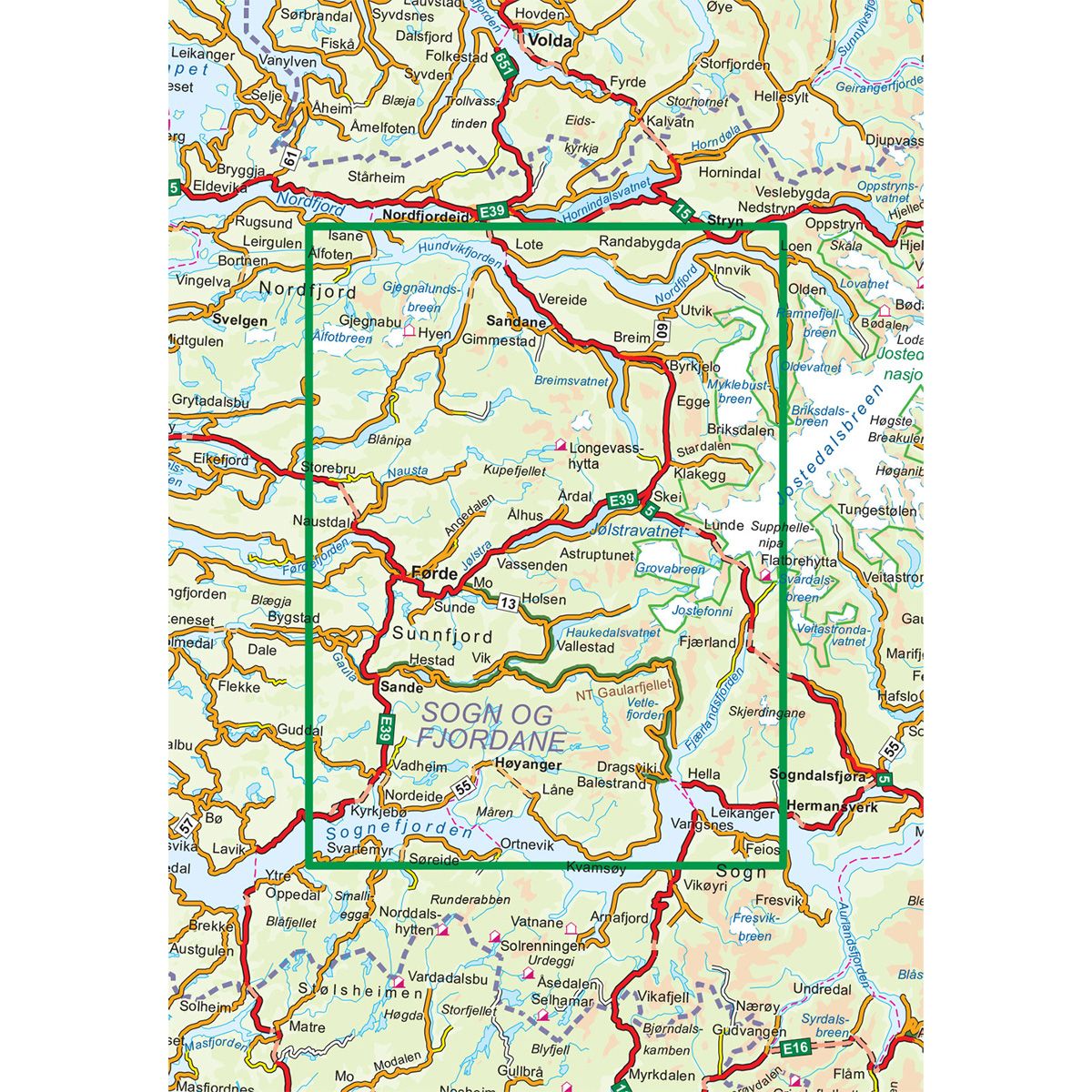
The Indre Sunnfjord Trail Map provides a good overview of the areas between Nordfjord in the north and Sognefjorden in the south. The map also includes large parts of Jostedalsbreen National Park in the east. Førde has a central spot on the map. Many fine treks and experiences await travellers in both the summer and winter seasons. The Norwegian Trekking Association’s cabins have always been natural trekking destinations, and this map displays several routes leading to Longevasshytta in the centre of the area.
DNT hiking maps
This map series was developed in cooperation with The Norwegian Trekking Association (DNT) and contains DNT trails, cabins and other useful trekking information. A few of the maps also have ski trails.
The DNT maps are published in three different scales (levels of detail).
1:25 000 for more defined and detailed information. Suitable for shorter treks.
1:50 000 is the optimal scale for treks.
1:100 000 offers a good overview of larger areas and is useful when planning trips.
The maps are printed on durable and weatherproof plastic fibre or paper material.
Language: Norwegian and English