Norway
  Deutsch
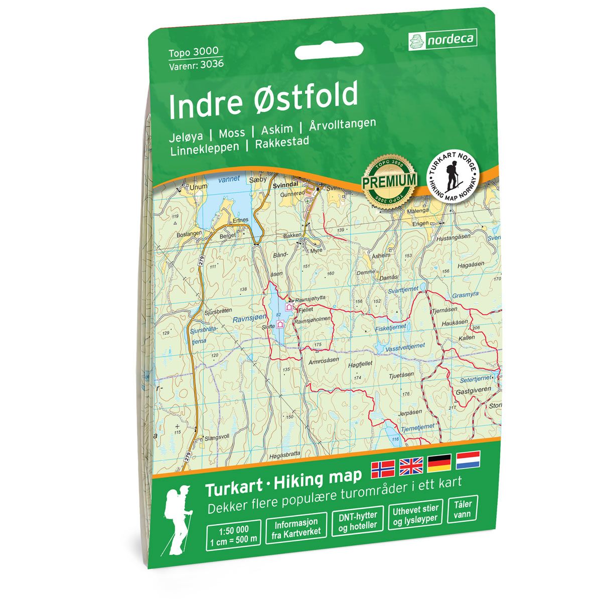
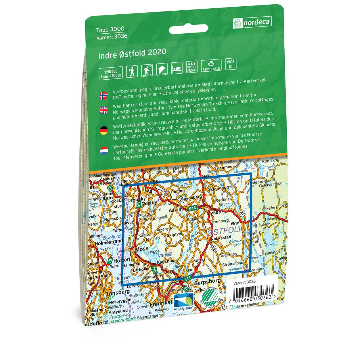
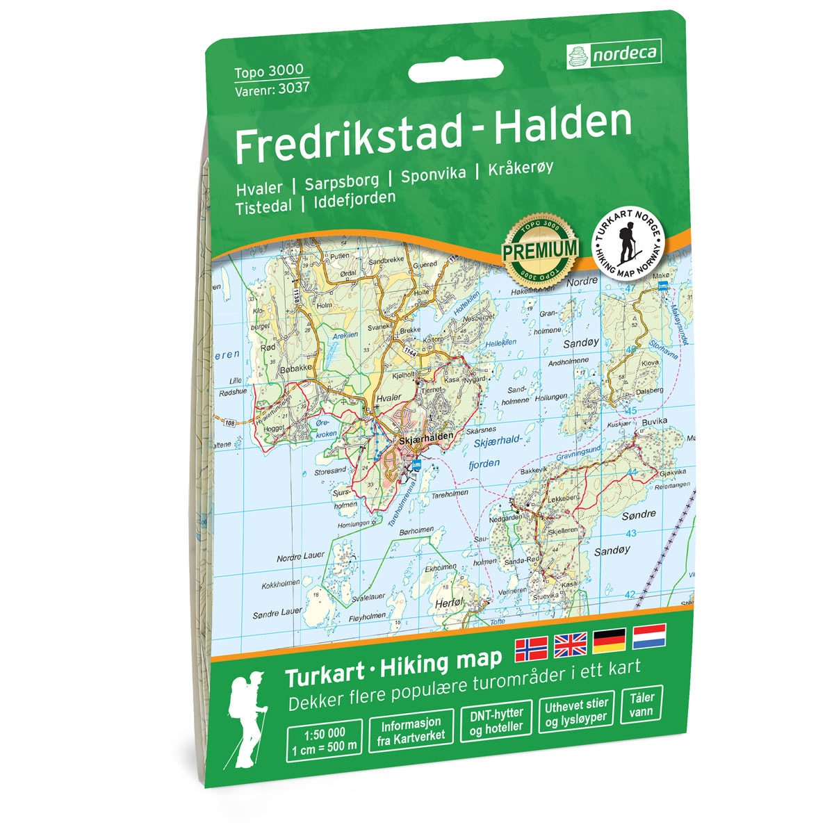

Indre Østfold Topo 3000 Hiking map
Covers popular trekking areas with highlighted trekking information
- Scale 1:50 000 in water resistant material
€25.00
In stock
| Brand | Nordic Maps |
|---|---|
| SKU | 3036 |
| Map size | 70x100 cm |
| Scale | 1: 50 000 |
| Trails | Hiking trails |
| Updated | 2020 |
| Material | Plastic fiber |
| Map usage | Hiking, Cross Country |
| Accommodation | Serviced cabins, Unattended cabins, Self-catering cottages, hotels |
| Cabins in the map | Ravnsjøhytta, Slottet (Slottet på Ravnsjøholmen), Østtorphytta, Ertevannhytta, Arnbjørnrud, Hotell Kjesesebu (dagstur), Askerødhytta (dagstur) |
| Map both sides | Yes |
| Country | Norway |
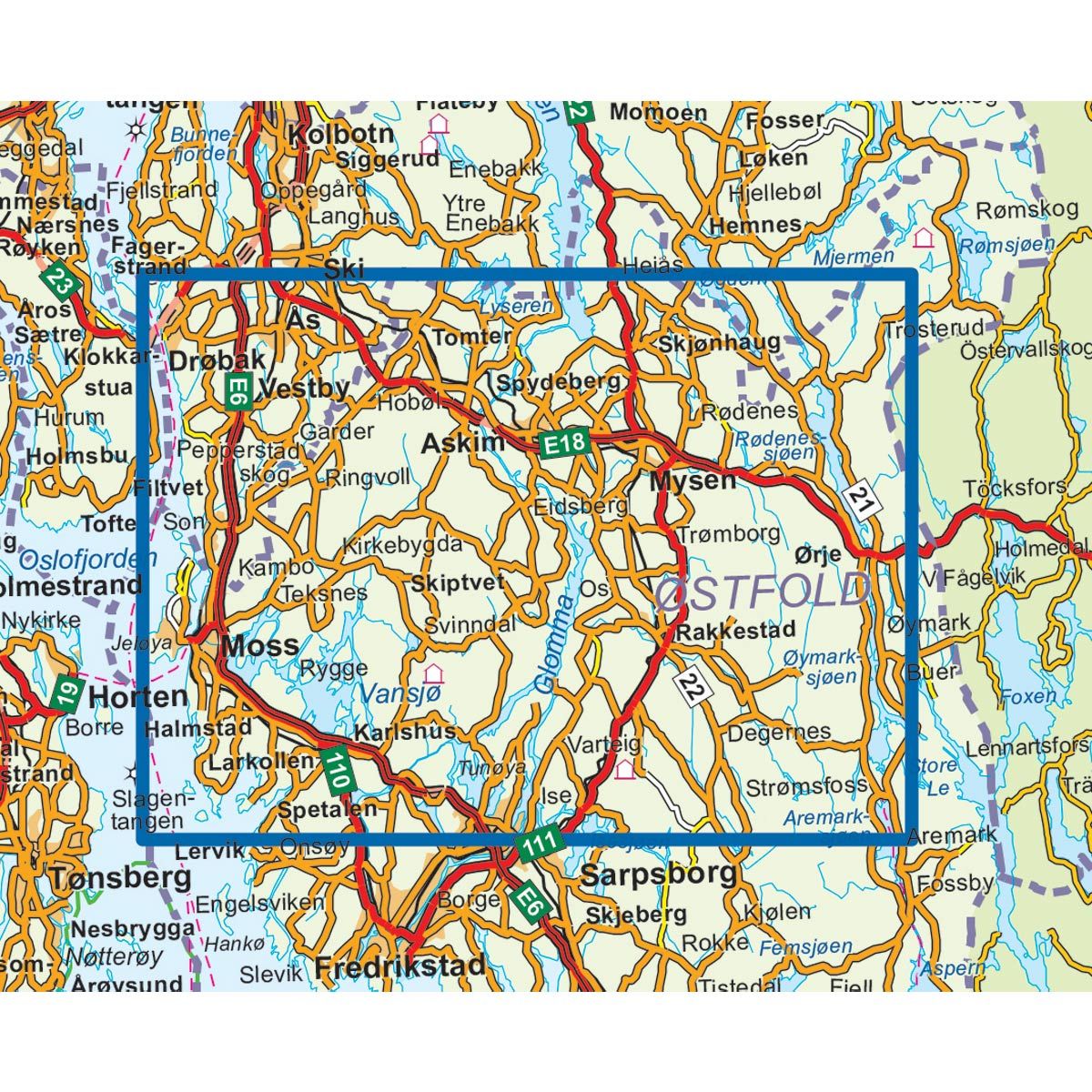
| Destinations | Jeløya, Moss, Askim, Årvolltangen, Linnekleppen, Rakkestad |
| Format | Foldable |
| Language | Norwegian, English, German, Dutch |
| Series | Topo 3000 |
Topo 3000 is a detailed map covering over 3000 km2. One of Inner Ostfold's main attractions is nature. You can paddle, ski in the trail network, cycle on the forest roads, fishing in forest waters, in the river, or on the ice. One of the finest trips in Indre Østfold is the nearby Årvolltangen (in Rygge). The trip is approx. 4 kilometers, and continue all the way to Elverhøy, the trip is 8 kilometers. Here you will find tours such as: Skjetve across 19.6 km, Rudsmosen 9.4 km, Molbekktjern 4.6 km. Example of cabins: Ravnsjøhytta, Ertevannhytta, Arnbjørnrud (unattended).
Topo 3000
Topo 3000 is a detailed trail 1:50,000 scaled map with information from the Norwegian Mapping Authority. The map includes hiking trails, skiing trails and overnight accommodations. Trekking information is in bold type for better legibility. The trail map covers more than 3000 km2 and has been adapted to include several popular trekking areas.
The maps are printed on durable and weatherproof plastic fibre or paper material.
The series is continuously being updated to four different languages: Norwegian, English, German and Dutch.