
 Norway
  Deutsch
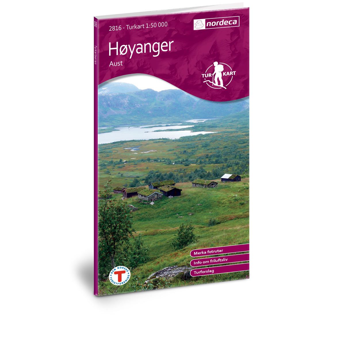
Høyanger Aust DNT hiking map
Map with Norwegian Trekking Association information about trails and cabins.
- Scale 1:50 000
€24.00
In stock
| Brand | Nordic Maps |
|---|---|
| SKU | 2816 |
| Map size | 70x100 cm |
| Scale | 1: 50 000 |
| Trails | Hiking trails |
| Updated | 2014 |
| Material | Paper |
| Map usage | Hiking |
| Accommodation | Serviced cabins, Unattended cabins, Self-catering cottages, hotels |
| EAN | 7046660028162 |
| Partner | The Norwegian Trekking Association |
| Map both sides | No |
| Country | Norway |
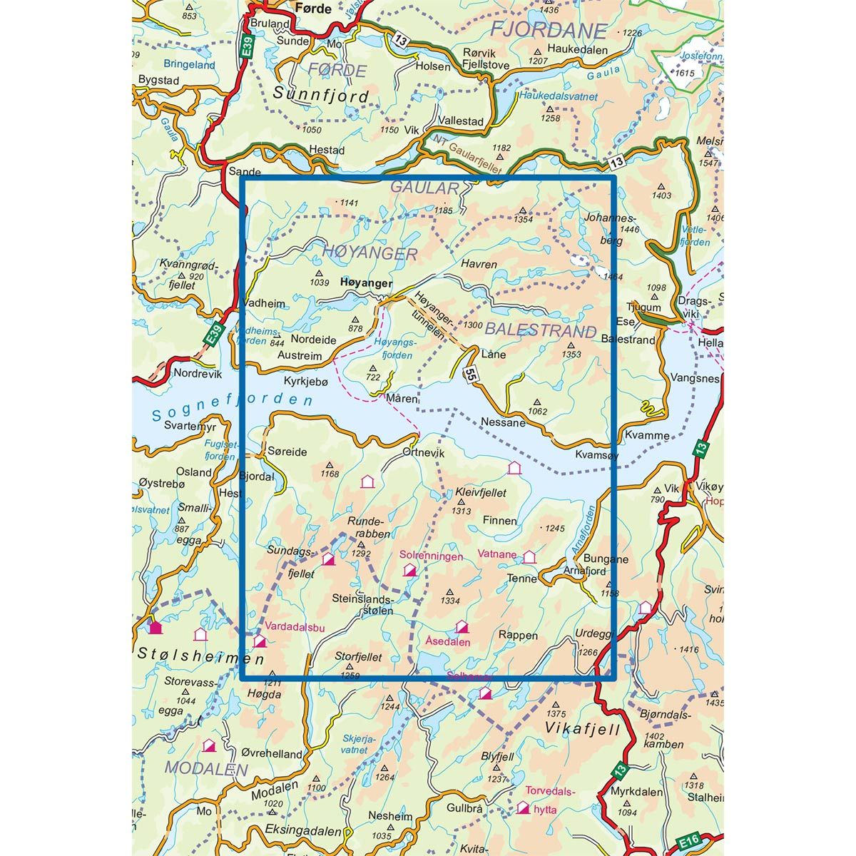
| Destinations | Høyanger, Ortnevik, Sognefjorden, Vikafjell |
| Format | Foldable |
| Language | Norwegian, English |
| Series | Hiking maps |
Høyanger municipality is divided in half by Sognefjord - encircled by beautiful mountains and shimmering fjords, providing the perfect backdrop for recreational activities and experiences in nature. Stølsheimen is a paradise for outdoor enthusiasts with its beautiful and varied cultural landscape. North of Sognefjorden, the landscape becomes wilder and the mountains higher the further east you go. In Høyangerfjellet, there are many marked and unmarked trails, and for an experience out of the ordinary, you can try one of the two staircases in the town of Høyanger.
DNT hiking maps
This map series was developed in cooperation with The Norwegian Trekking Association (DNT) and contains DNT trails, cabins and other useful trekking information. A few of the maps also have ski trails.
The DNT maps are published in three different scales (levels of detail).
1:25 000 for more defined and detailed information. Suitable for shorter treks.
1:50 000 is the optimal scale for treks.
1:100 000 offers a good overview of larger areas and is useful when planning trips.
The maps are printed on durable and weatherproof plastic fibre or paper material.
Language: Norwegian and English