Norway
  Deutsch
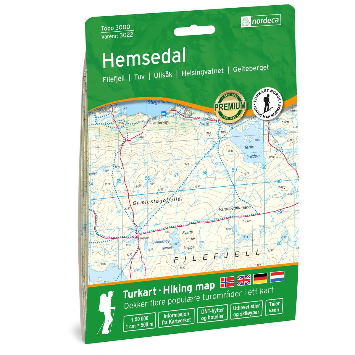
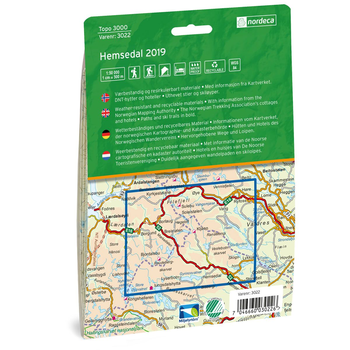

Hemsedal Topo 3000 hiking map
Covers popular trekking areas with highlighted trekking information
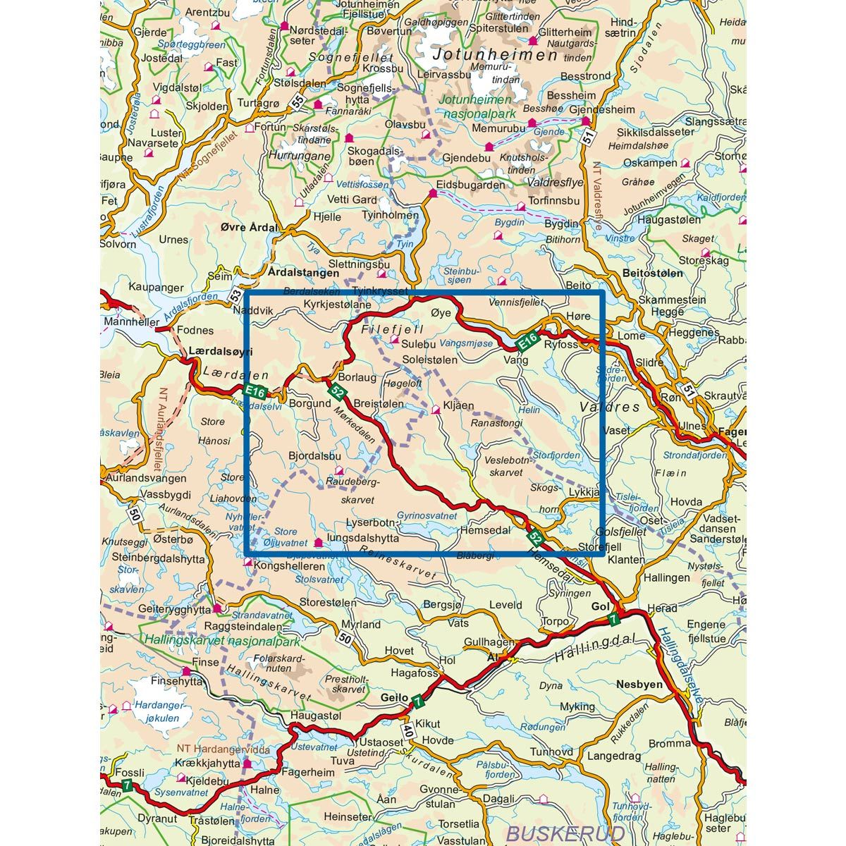
- The map covers Filefjell, Tuv, Ullsåk, Helsingvatnet og Geiteberget
- Scale 1:50 000 in water resistant material
€25.00
In stock
| Brand | Nordic Maps |
|---|---|
| SKU | 3022 |
| Map size | 70x100 cm |
| Scale | 1: 50 000 |
| Trails | Hiking trails |
| Updated | 2019 |
| Material | Plastic fiber |
| Map usage | Hiking, Cross Country |
| Accommodation | Serviced cabins, Unattended cabins, Self-catering cottages, hotels |
| EAN | 7040666030228 |
| Cabins in the map | Iungsdalshytta, Bjøberg, Husum, Skarvheim, Breistølen, Maristova, Kljåen, Nystuen, Bjordalsbu, Sulebu |
| Map both sides | Yes |
| Country | Norway |
| Destinations | Filefjell, Tuv, Ullsåk, Helsingvatnet, Geiteberget |
| Format | Foldable |
| Language | Norwegian, English, German, Dutch |
| Series | Topo 3000 |
Topo 3000 is a detailed map that covers more than 3000 km2. Hemsedal offers many activities for the whole family. A few popular treks to peaks in Hemsedal include Venåshøvda, Totten, Svarthetta and Buaknuppen. The treks are of varying length and levels of difficulty, from easy hikes suitable for buggies, to more challenging full-day hikes.
Topo 3000
Topo 3000 is a detailed trail 1:50,000 scaled map with information from the Norwegian Mapping Authority. The map includes hiking trails, skiing trails and overnight accommodations. Trekking information is in bold type for better legibility. The trail map covers more than 3000 km2 and has been adapted to include several popular trekking areas.
The maps are printed on durable and weatherproof plastic fibre or paper material.
The series is continuously being updated to four different languages: Norwegian, English, German and Dutch.