Norway
  Deutsch
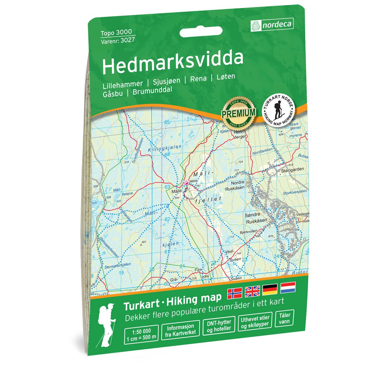
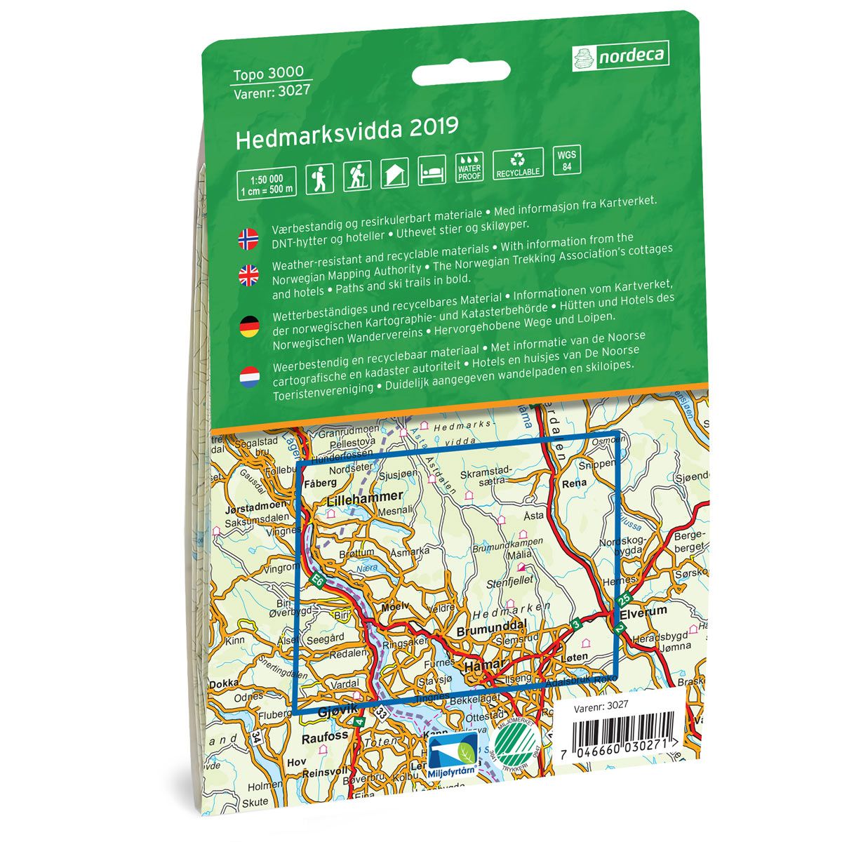
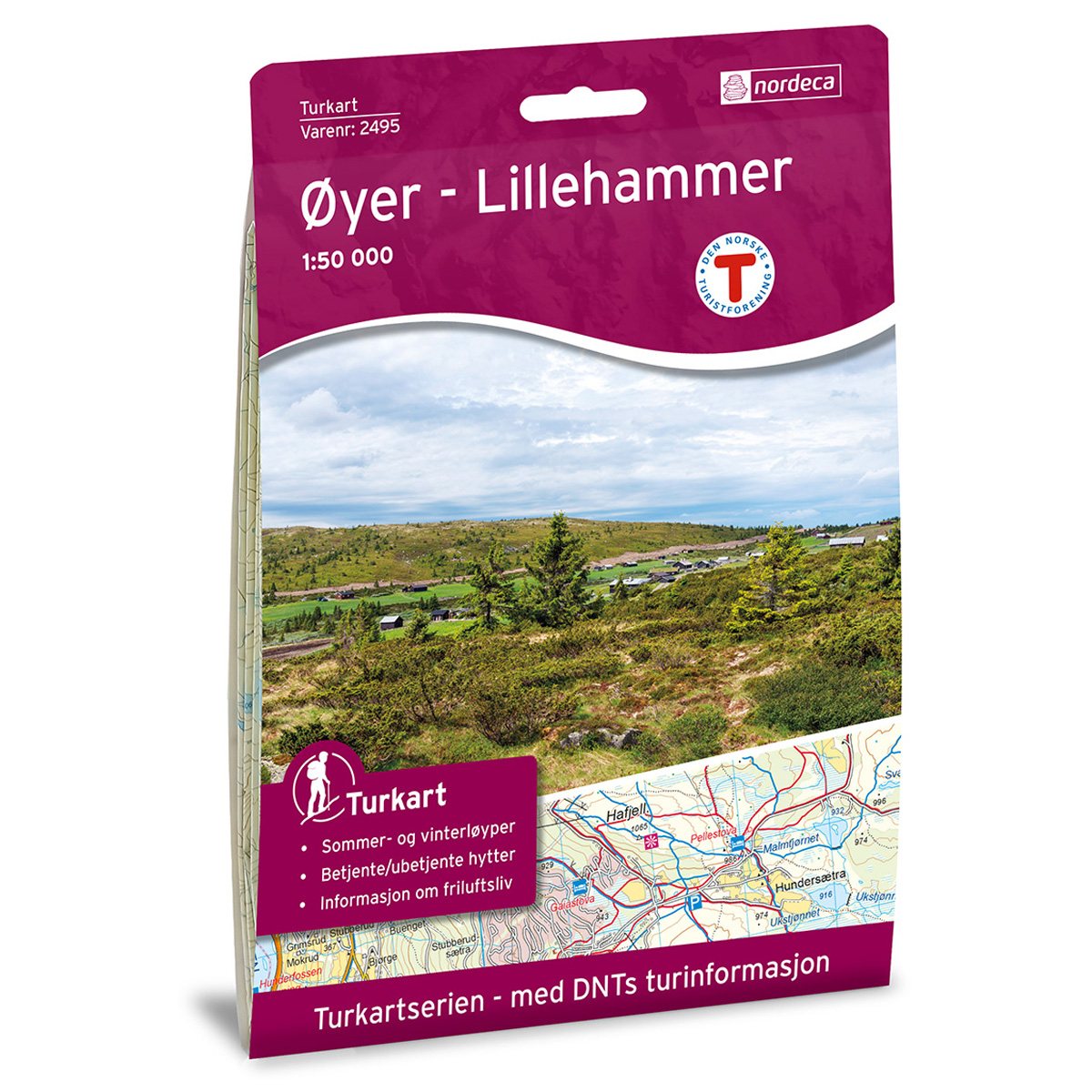

Hedmarksvidda Topo 3000 Hiking map
Covers popular trekking areas with highlighted trekking information
- Scale 1:50 000 in water resistant material
€25.00
In stock
| Brand | Nordic Maps |
|---|---|
| SKU | 3027 |
| Map size | 70x100 cm |
| Scale | 1: 50 000 |
| Trails | Hiking trails |
| Updated | 2019 |
| Material | Plastic fiber |
| Map usage | Hiking, Cross Country |
| Accommodation | Serviced cabins, Unattended cabins, Self-catering cottages, hotels |
| Cabins in the map | Fogdehytta, Åkersætra, Krokbua, Skramstadsætra, Sandfløten, Snippkoina, Målia, Stenfjellhytta, Savalsætra, Svartskogkoia, Halgutusveen. |
| Map both sides | Yes |
| Country | Norway |
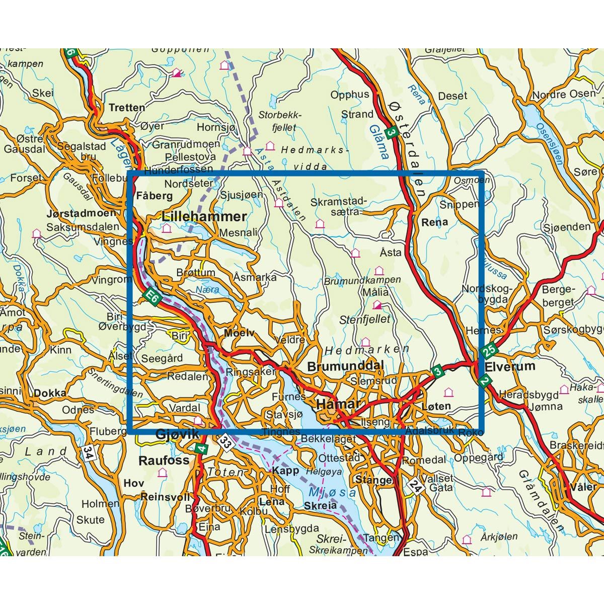
| Destinations | Lillehammer, Sjusjøen, Rena, Løten, Gåsbu, Brumunddal |
| Format | Foldable |
| Language | Norwegian, English, German, Dutch |
| Series | Topo 3000 |
Topo 3000 is a detailed map covering over 3000 km2. Hedmarksvidda is a well-known winter area with over 500 km of ski trails, but also a great place for day trips in the summer. Gåsbu (15 km from Hamar city center) is a good starting point for tours. Here you will find “Nature trail”, a 3 kilometer long gravel path where you can have a stroller. Along the trail you will find campfires, berths and a view tower. Here you will find tours such as: Fuglehaugen 7.8 km, Ski trip to Appelsinhaugen 11.7 km and the Gålåsrunden cycle cycle 17.8 km. Examples of cabins: Snippkoia, Halgutusveen and Fogdehytta (unattended) .
Topo 3000
Topo 3000 is a detailed trail 1:50,000 scaled map with information from the Norwegian Mapping Authority. The map includes hiking trails, skiing trails and overnight accommodations. Trekking information is in bold type for better legibility. The trail map covers more than 3000 km2 and has been adapted to include several popular trekking areas.
The maps are printed on durable and weatherproof plastic fibre or paper material.
The series is continuously being updated to four different languages: Norwegian, English, German and Dutch.