
 Norway
  Deutsch
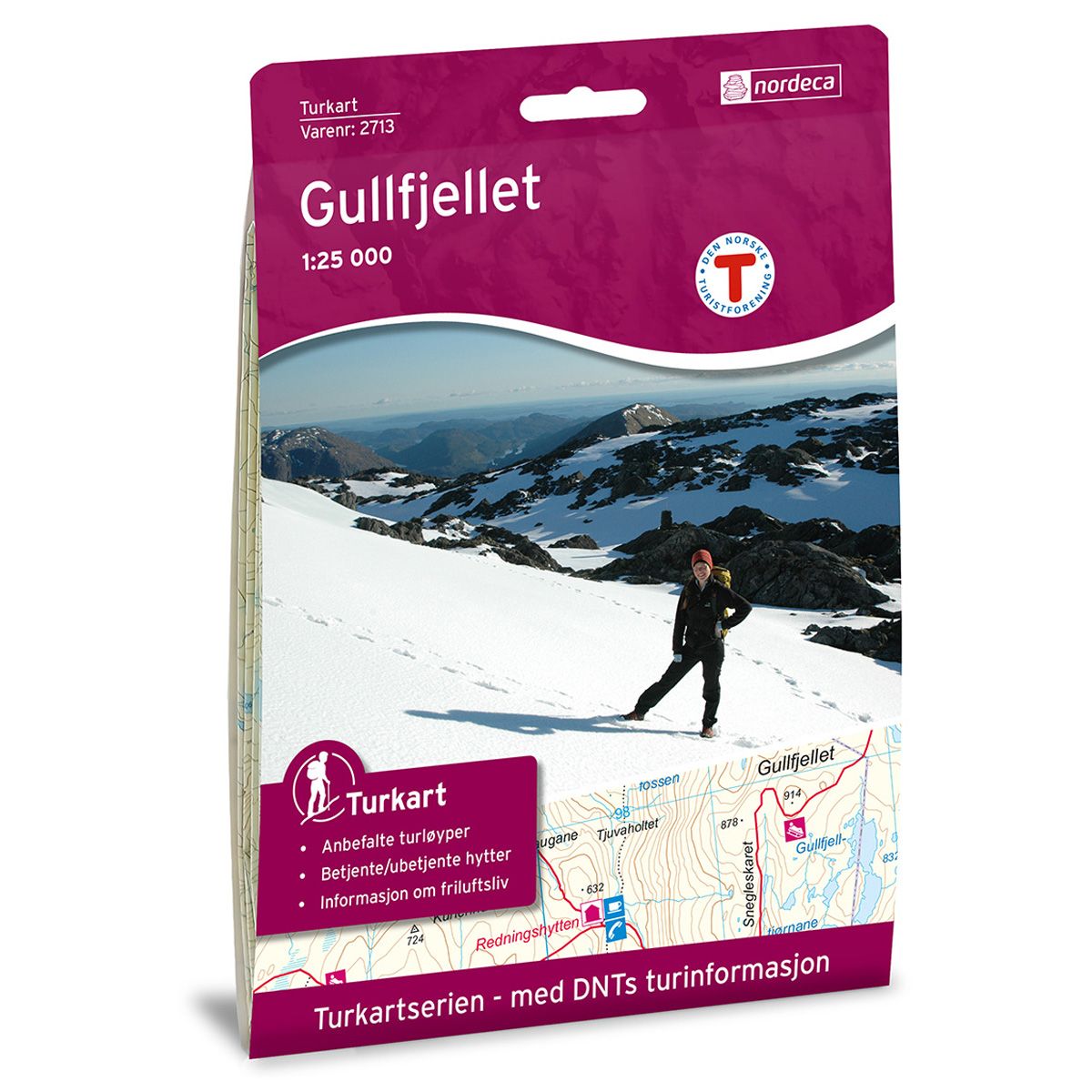
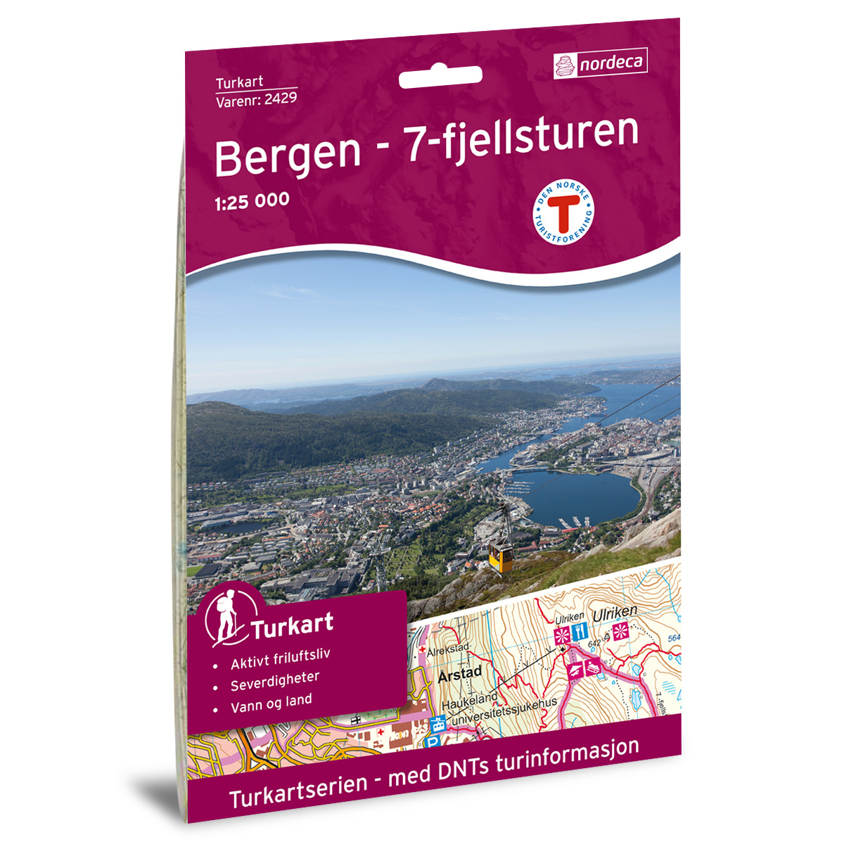

Gullfjellet DNT hiking map
Map with Norwegian Trekking Association information about trails and cabins.
- The map covers Arna, Hordaland og Nesttun
- Scale 1:25000 in water resistant material
€24.00
Out of stock
| Brand | Nordic Maps |
|---|---|
| SKU | 2713 |
| Map size | 70x100 cm |
| Scale | 1: 25 000 |
| Trails | Hiking trails |
| Updated | 2012 |
| Material | Plastic fiber |
| Map usage | Hiking |
| Accommodation | Serviced cabins, Unattended cabins, Self-catering cottages, hotels |
| EAN | 7046660027134 |
| Partner | The Norwegian Trekking Association |
| Map both sides | No |
| Country | Norway |
| Destinations | Arna, Hordaland, Nesttun |
| Format | Foldable |
| Language | Norwegian, English |
| Series | Hiking maps |
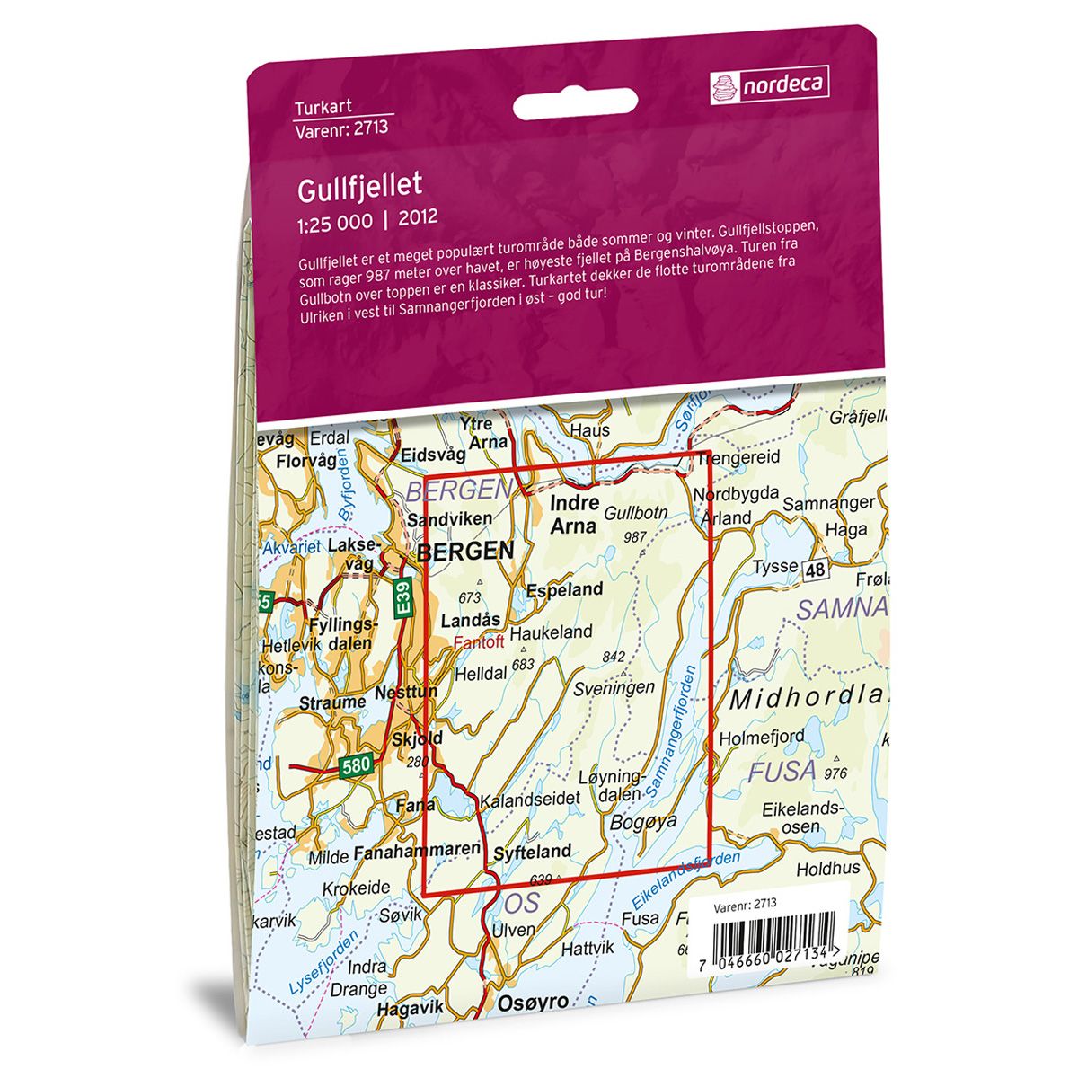
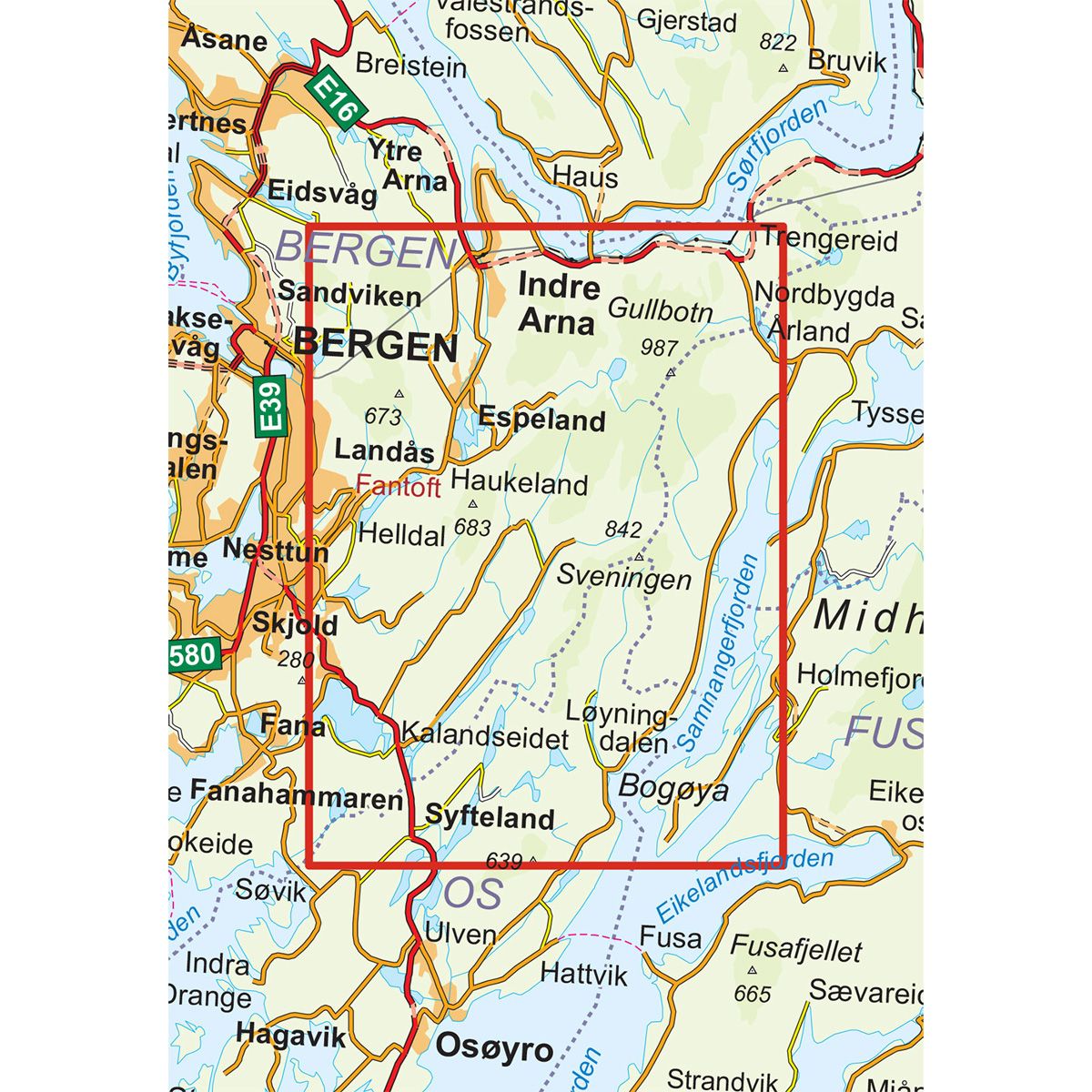
Gullfjellet is a very popular trekking area in both summer and winter. Gullfjellstoppen, which towers 987 meters above sea level, is the tallest mountain on the Bergen peninsula. The trail from Gullbotn over the top is a classic route. The trail map covers the beautiful trekking areas from Ulriken in the west to Samnangerfjorden in the east. Have a great trip!
DNT hiking maps
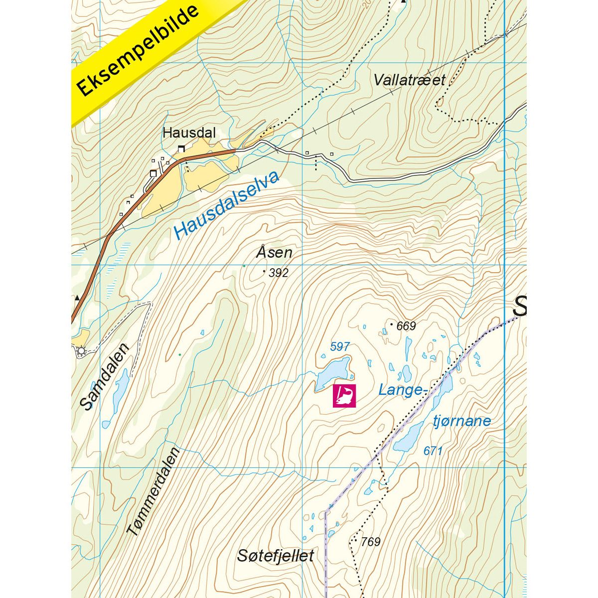
This map series was developed in cooperation with The Norwegian Trekking Association (DNT) and contains DNT trails, cabins and other useful trekking information. A few of the maps also have ski trails.
The DNT maps are published in three different scales (levels of detail).
1:25 000 for more defined and detailed information. Suitable for shorter treks.
1:50 000 is the optimal scale for treks.
1:100 000 offers a good overview of larger areas and is useful when planning trips.
The maps are printed on durable and weatherproof plastic fibre or paper material.
Language: Norwegian and English
