
 Norway
  Deutsch
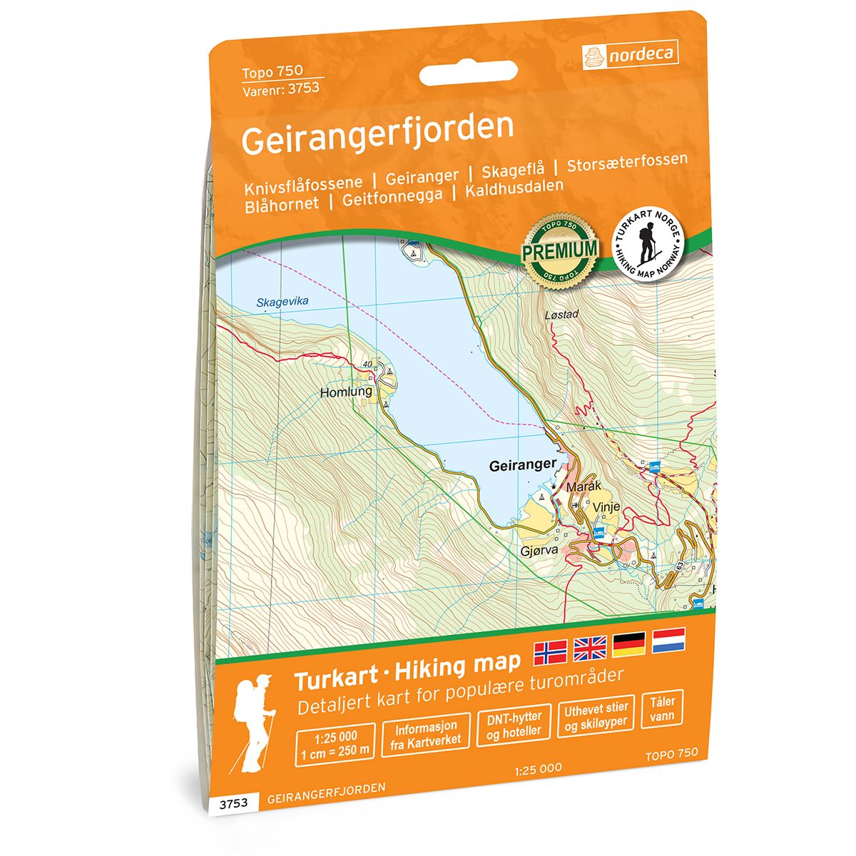
Geirangerfjorden Topo 750 hiking map
Covers popular trekking areas with highlighted trekking information
- The map covers Knivsflåfossene, Geiranger, Skageflå, Storsæterfossen, Blåhornet, Geitfonnegga, Kaldhusdalen
- Scale 1:25 000 in water resistant material
€25.00
In stock
| Brand | Nordic Maps |
|---|---|
| SKU | 3753 |
| Map size | 70x100 cm |
| Scale | 1: 25 000 |
| Trails | Hiking trails |
| Updated | 2021 |
| Material | Plastic fiber |
| Map usage | Hiking, Cross Country |
| Accommodation | Serviced cabins, Unattended cabins, Self-catering cottages, hotels |
| Cabins in the map | Danskehytta( selvbetjent), Kaldhusseter( selvbetjent og ubetjent) |
| Map both sides | Yes |
| Country | Norway |
| Destinations | Oaldsbygda, Skuset, Berge, Eide, Knivsflå, Skageflå, Geiranger, Gjørva, Maråk, Vinje, Flydalen, Ørjasætra, Frøysa, Hole, Bjørdal, Vollset, Kaldhusdalen, Rødal, Breidablikk |
| Format | Foldable |
| Language | Norwegian, English |
| Series | Topo 750 |
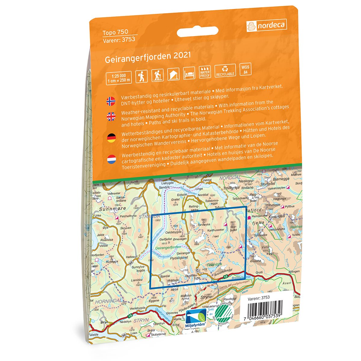
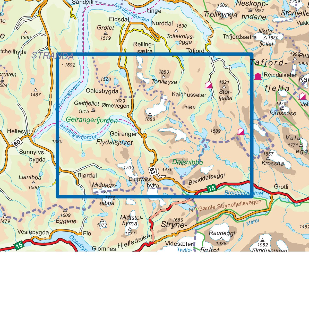
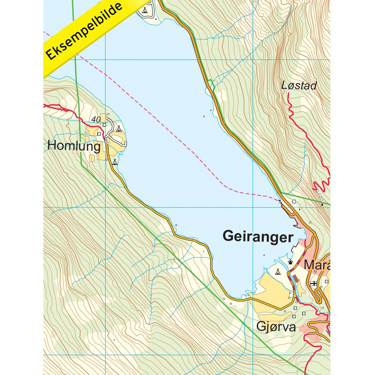
Topo 750 Geirangerfjorden is a detailed map covering 750 km2. Here you will find both hiking trails and accommodations that are clearly marked on the map. The map covers the Geirangerfjord and further east to the self-service Danskehytta south of Tafjordfjella. Geiranger offers some fantastic nature experiences and the hiking trails in the area are well marked. Geiranger is surrounded by majestic mountains, waterfalls and beautiful nature. The village is idyllically located in the heart of the Geirangerfjord and is a perfect starting point for trips, either on foot, by bike or you can try one of several different fjord sightseeing trips, perhaps the very best way to experience the spectacular Geirangerfjord. The map also covers the trip to Storsæterfossen, which is something you should bring with you when you visit Geiranger. The trip takes you through the beautiful Vesteråsdalen and is well arranged with a path and railings at the back of the waterfall, definitely worth a visit. Example of cabins in the map: Danskehytta (self-catering), Kaldhusseter (self-catering and unattended)
Topo 750
Topo 750 is a detailed trail 1:50,000 scaled map with information from the Norwegian Mapping Authority. The map includes hiking trails, skiing trails and overnight accommodations. Trekking information is in bold type for better legibility. The trail map covers more than 3000 km2 and has been adapted to include several popular trekking areas.
The maps are printed on durable and weatherproof plastic fibre or paper material.
The series is continuously being updated to four different languages: Norwegian, English, German and Dutch.