
 Norway
  Deutsch
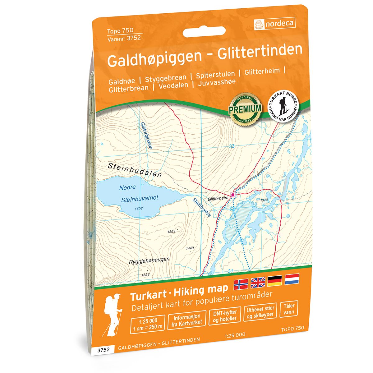
Galdhøpiggen – Glittertinden Topo 750 hiking map
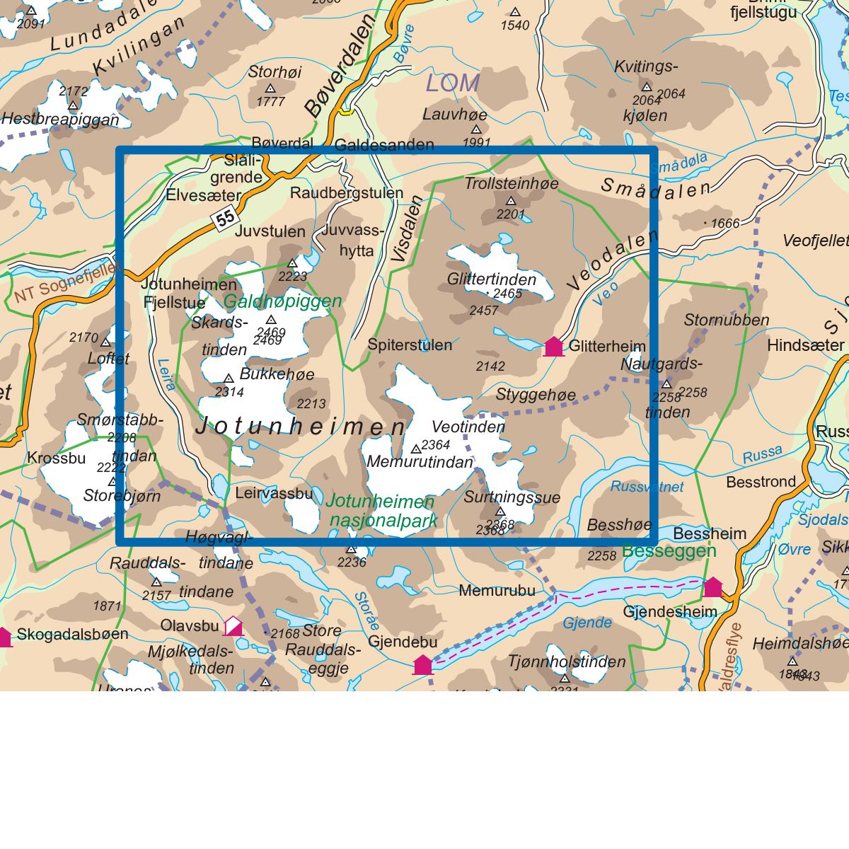
- The map covers Galdhøe, Styggebrean, Spiterstulen, Glitterheim, Glitterbrean, Veodalen, Juvvasshøe
- Scale 1:25 000 in water resistant material

| Brand | Nordic Maps |
|---|---|
| SKU | 3752 |
| Map size | 70x100 cm |
| Scale | 1: 25 000 |
| Trails | Hiking trails |
| Updated | 2021 |
| Material | Plastic fiber |
| Map usage | Hiking, Cross Country |
| Accommodation | Serviced cabins, Unattended cabins, Self-catering cottages, hotels |
| Cabins in the map | Glitterheim(betjent), Jotunheimen fjellstue |
| Map both sides | Yes |
| Country | Norway |
| Destinations | Spiterstulen, Hammarstulen, Raudbergstulsætren, Visdalssætren, Slåligrende, Galdbygde, Uppigard, Runningsgrende, Neto. |
| Format | Foldable |
| Language | Norwegian, English |
| Series | Topo 750 |
Topo 750 Galdhøpiggen - Glittertinden is a detailed map covering 750 km2. Here you will find both hiking trails and accommodations that are clearly marked on the map. The map covers Norway's two highest mountain peaks, Galdhøpiggen and Glittertinden. The summit trip to Galdhøpiggen is a fantastic experience with spectacular views of Jotunheimen. The popular hiking trail from Spiterstulen is quite simple and takes you west up to Svellnose via Kelihaus top and further up to the top of Galdhøpiggen. The trip to Glittertinden is shorter, but more demanding. The map covers the route up to the top, over Glitterbrean, from the serviced cabin Glitterheim which is located at the foot of the mountain. Example of cabins on the map: Glitterheim (valet).
Topo 750 is a detailed trail 1:25,000 scaled map with information from the Norwegian Mapping Authority. The map includes hiking trails, skiing trails and overnight accommodations. Trekking information is in bold type for better legibility. The trail map covers more than 3000 km2 and has been adapted to include several popular trekking areas.
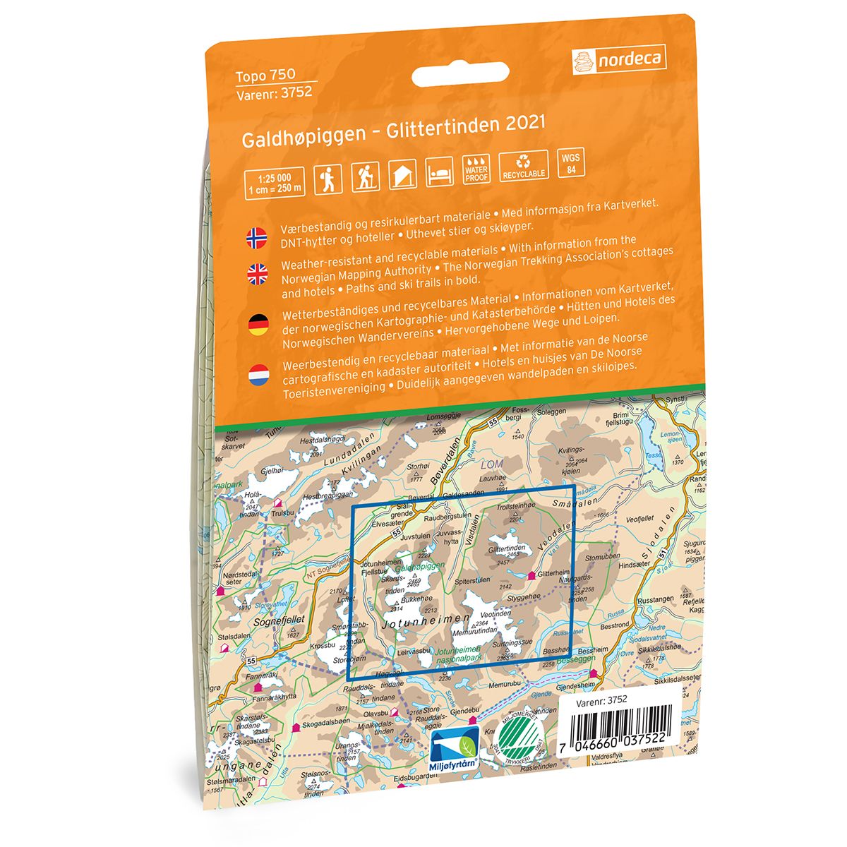
The maps are printed on durable and weatherproof plastic fibre or paper material.
The series is continuously being updated to four different languages: Norwegian, English, German and Dutch.