Norway
  Deutsch
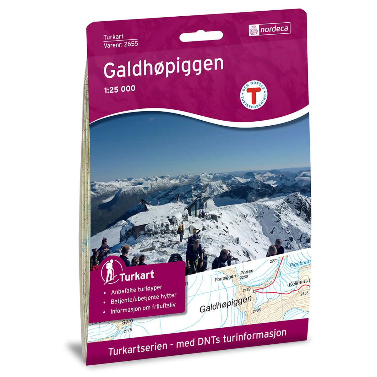


Galdhøpiggen DNT hiking map
Map with Norwegian Trekking Association information about trails and cabins.
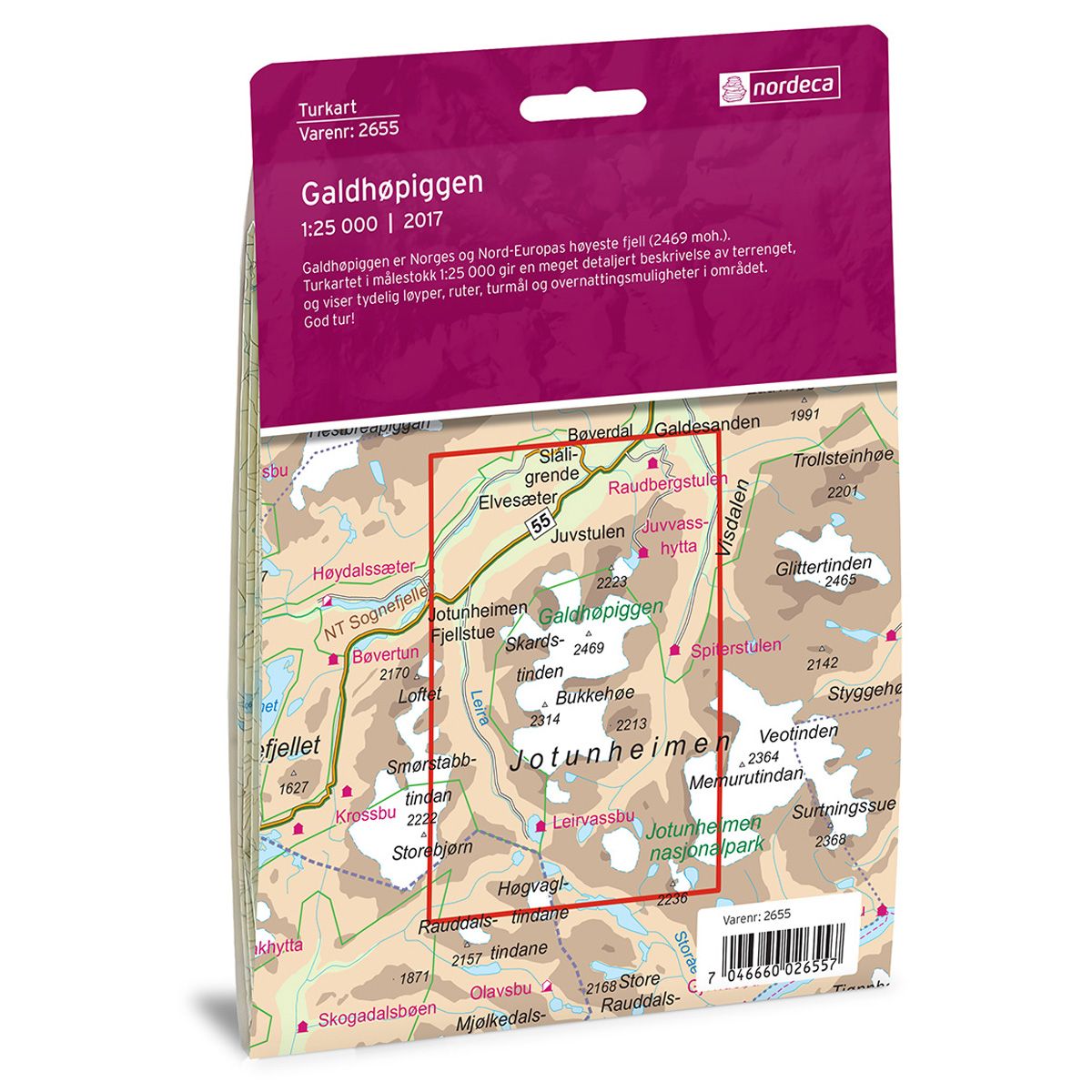
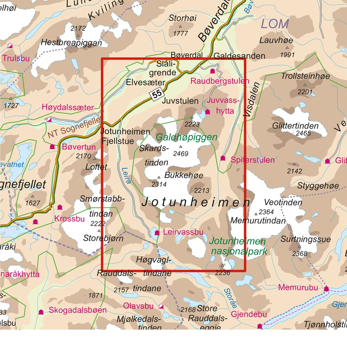
- The map covers Bøverdalen, Galdhøpiggen og Jotunheimen nasjonalpark
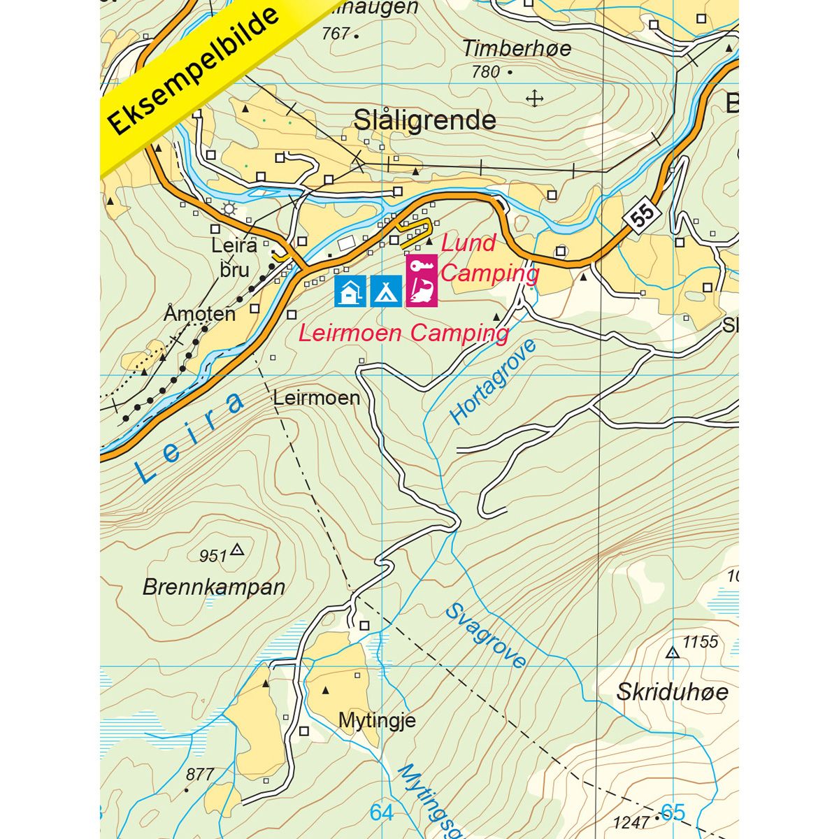
- Scale 1:25000 in water resistant material
€24.00
In stock
| Brand | Nordic Maps |
|---|---|
| SKU | 2655 |
| Map size | 70x100 cm |
| Scale | 1: 25 000 |
| Trails | Hiking trails |
| Updated | 2017 |
| Material | Plastic fiber |
| Map usage | Hiking, Cross Country |
| Accommodation | Serviced cabins, Unattended cabins, Self-catering cottages, hotels |
| EAN | 7046660026557 |
| Partner | The Norwegian Trekking Association |
| Map both sides | No |
| Country | Norway |
| Destinations | Bøverdalen, Galdhøpiggen, Jotunheimen nasjonalpark |
| Format | Foldable |
| Language | Norwegian, English |
| Series | Hiking maps |
Galdhøpiggen is the highest mountain in Norway and Northern Europe (2469 masl). This 1:25,000 trail map provides a very detailed description of the terrain and clearly indicates trails, routes, destinations and overnight accommodations in the area.
DNT hiking maps
This map series was developed in cooperation with The Norwegian Trekking Association (DNT) and contains DNT trails, cabins and other useful trekking information. A few of the maps also have ski trails.
The DNT maps are published in three different scales (levels of detail).
1:25 000 for more defined and detailed information. Suitable for shorter treks.
1:50 000 is the optimal scale for treks.
1:100 000 offers a good overview of larger areas and is useful when planning trips.
The maps are printed on durable and weatherproof plastic fibre or paper material.
Language: Norwegian and English