
 Norway
  Deutsch
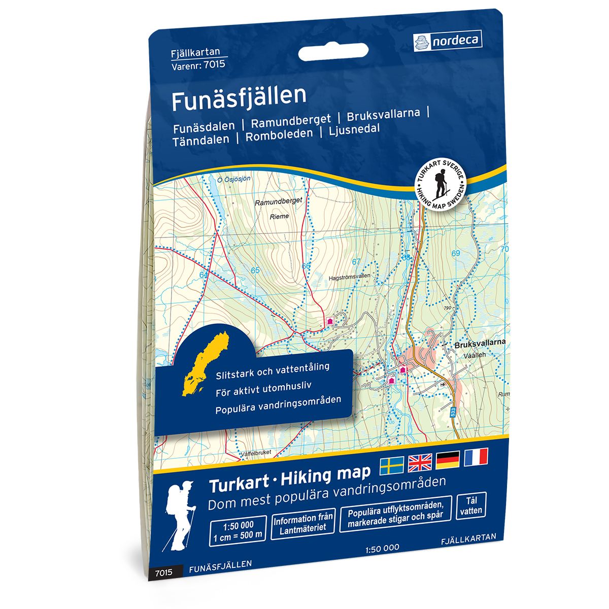
Funäsfjällen Swedish hiking map
Covers popular hiking areas with highlighted hiking information
- The map covers Funäsdalen, Ramundberget, Bruksvallarna
- Scale 1:50 000 in water resistant material
€25.00
In stock
| Brand | Nordic Maps |
|---|---|
| SKU | 7015 |
| Map size | 70x100 cm |
| Scale | 1: 50 000 |
| Trails | Hiking trails |
| Updated | 2021 |
| Material | Plastic fiber |
| Map usage | Hiking, Cross Country |
| Accommodation | Cabins |
| Map both sides | Yes |
| Country | Sweden |
| Destinations | Funäsdalen, Ramundberget, Bruksvallarna, Tänndalen, Ljusnedal, Hållan, Skarvruet, Hamra, Fjällnäs, Vauldalen, Tännäs, Särvsjön, Messlingen, Mittådalen, Storsjö, Skärkdalen, Skärvagsvallen |
| Format | Foldable |
| Language | English, German, Dutch, Swedish |
| Series | Swedish Mountain Map |
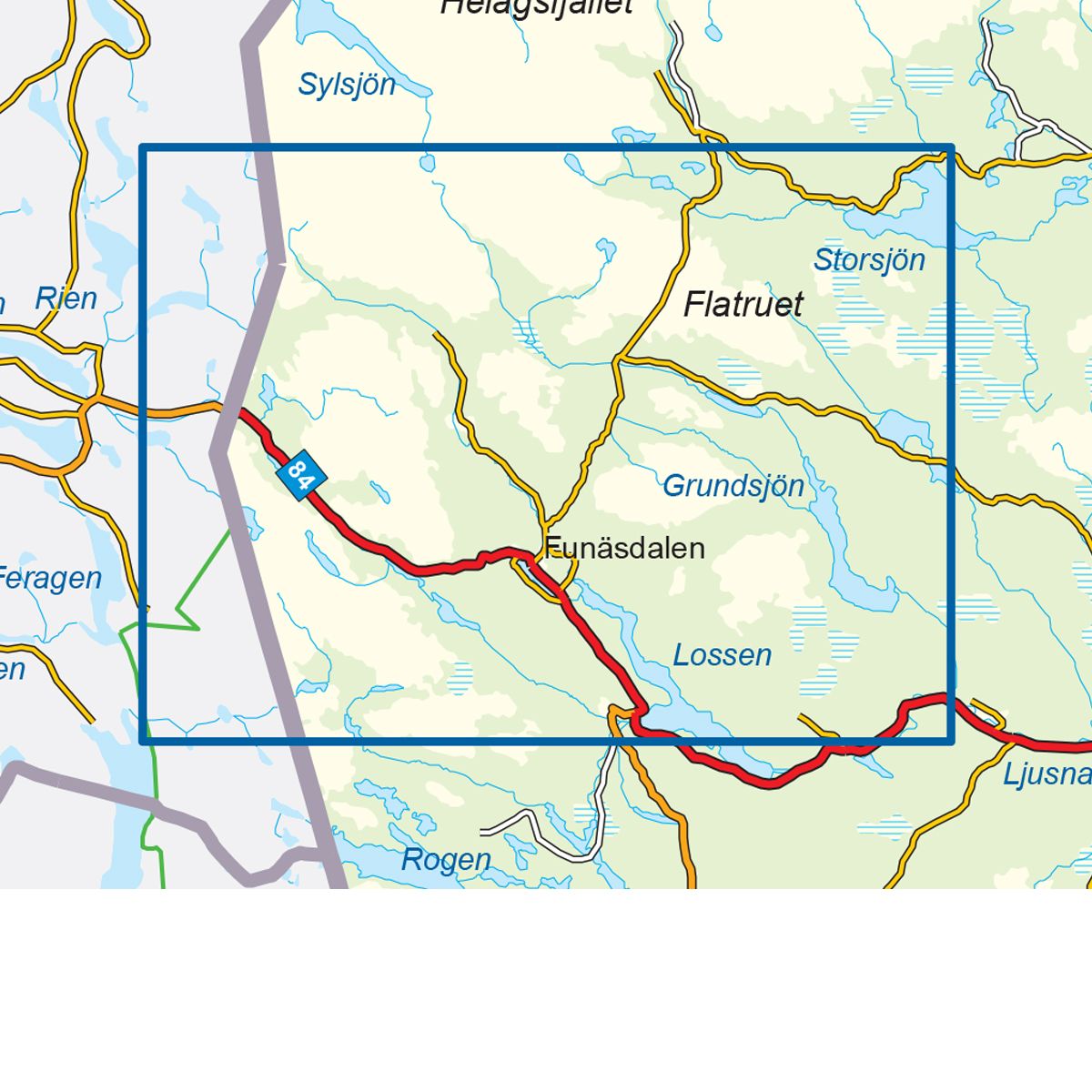
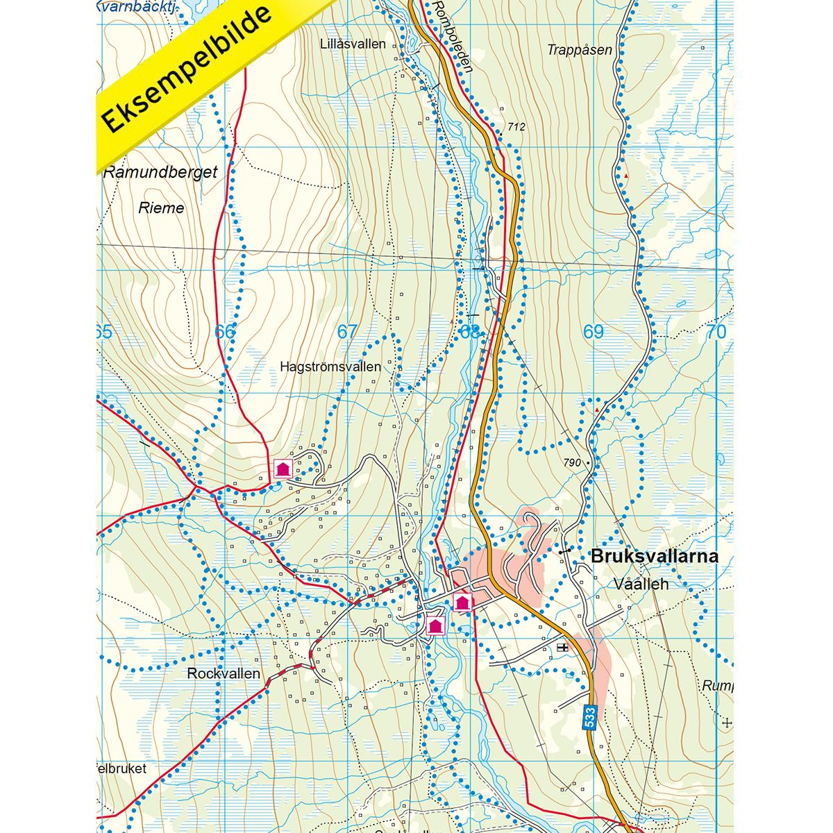
Mountain map Funäsfjällen is a detailed map that covers more than 3000 km2. This includes trails, mountain lodges and cabins in the area, which are clearly marked on the map. The map covers the area from the national border in the west to Storsjön in the east. Funäsfjällen is a typical ski destination, with the best conditions for alpine skiing, including several ski lifts and ski tows in the area. The map also covers the ski areas of Tänndalen, Ramundberget and Funäsdalsberget in addition to the towns of Funäsdalen, Bruksvallarna and Fjällnäs. The region also offers magnificent natural beauty outside the ski season, which can be experienced either by foot or by bicycle. Mountain lodges and cabins are located on the map at the following sites: Röstavallen, Fältjägar and Baggården.
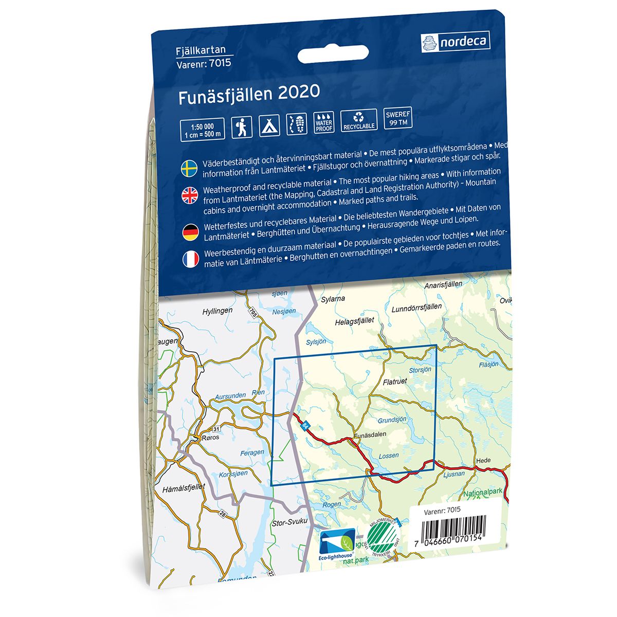
Swedish hiking maps is a hiking map series on a scale of 1:50 000 with information from Lantmäteriet and the Mapping Authority. The maps contain hiking trails, ski trails and accommodations. The tour information is highlighted for even better readability. The hiking map covers over 3000 km2 and is adapted so that it covers several popular hiking areas.
The series is available in four languages, Swedish, German, English and Dutch.
The maps are printed on durable and weather-resistant plastic fiber material
The series is available in four languages, Swedish, German, English and Dutch.
The maps are printed on durable and weather-resistant plastic fiber material