
 Norway
  Deutsch
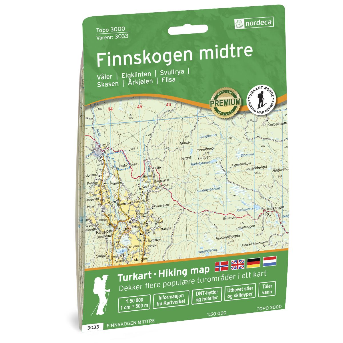
Finnskogen Midtre Topo 3000 hiking map
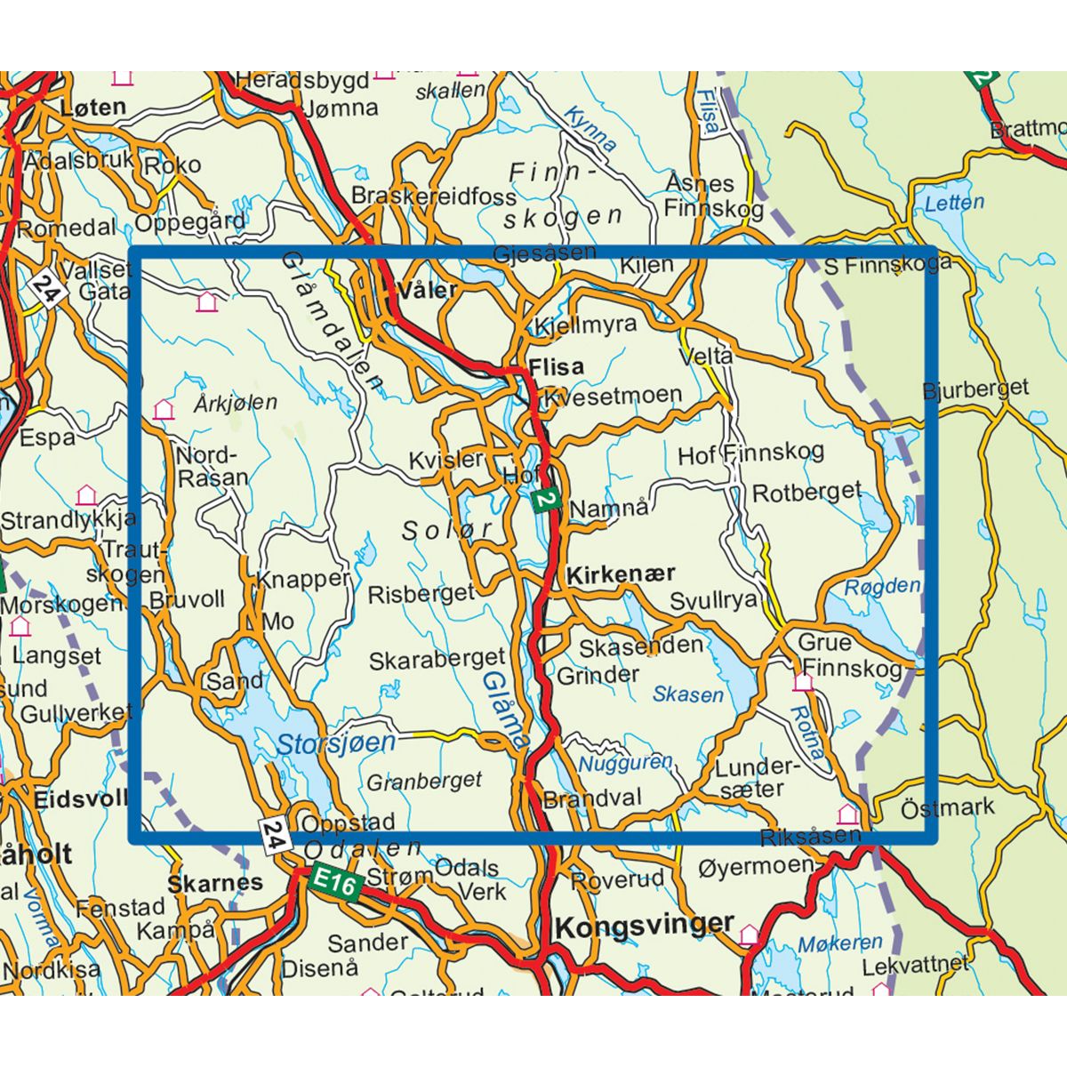
- The map covers
- Scale 1:50 000 in water resistant material
| Brand | Nordic Maps |
|---|---|
| SKU | 3033 |
| Map size | 70x100 cm |
| Scale | 1: 50 000 |
| Updated | 2020 |
| Material | Plastic fiber |
| Map usage | Hiking, Cross Country |
| Accommodation | Serviced cabins, Unattended cabins, Self-catering cottages, hotels |
| Map both sides | Yes |
| Country | Norway |
| Format | Foldable |
| Language | Norwegian, English, German, Dutch |
| Series | Topo 3000 |
Topo 3000 is a detailed map covering over 3000 km2. Finnskogen is a varied landscape on both sides of the border. Here you will find both ancient cultural monuments from the Finnish forest culture, wild nature and rich wildlife. Finnskogen is also perfect for fishing, kayaking, bird watching and mountain biking. Kynna is a watercourse with oblong lakes and narrow streams, perfect for canoe / kayak trips. Along the paddle tour are arranged campsites and accommodation. The map contains Finnish place names. Here you will find tours such as: Nordre Kynndalsrunden 35.2 km, Fantasirunden 33.3 km (bike rides), Ørtjernrunden - the classic around Stavåsen 16.3 km Example of cabins: Renos Dam, Boys' Lodge in Juvberget (unattended), Ole Reistad Senter (valet)
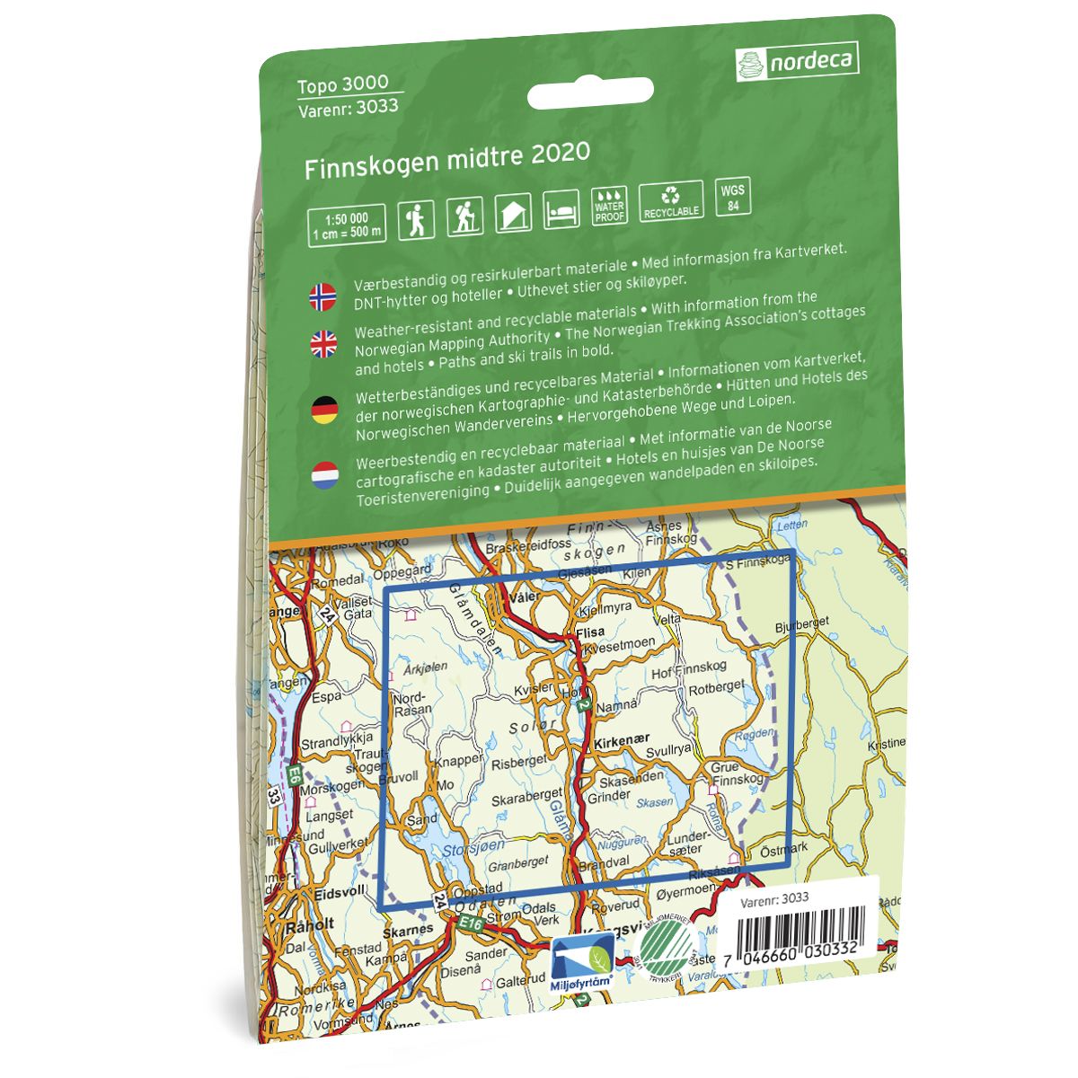
Topo 3000 is a detailed trail 1:50,000 scaled map with information from the Norwegian Mapping Authority. The map includes hiking trails, skiing trails and overnight accommodations. Trekking information is in bold type for better legibility. The trail map covers more than 3000 km2 and has been adapted to include several popular trekking areas.
The maps are printed on durable and weatherproof plastic fibre or paper material.
The series is continuously being updated to four different languages: Norwegian, English, German and Dutch.