Norway
  Deutsch
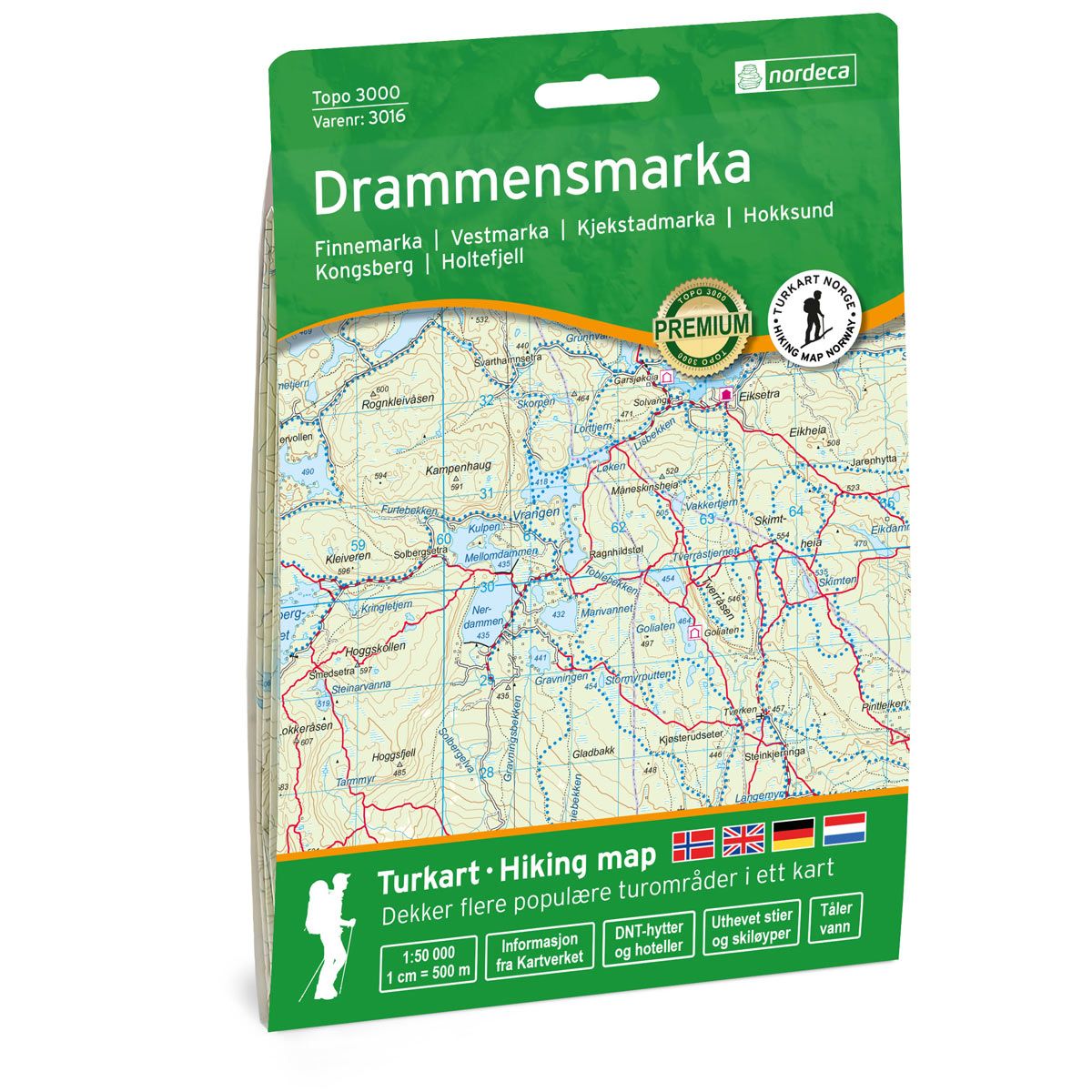
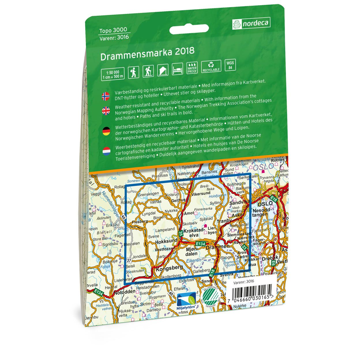


Drammensmarka Topo 3000 hiking map
Covers popular trekking areas with highlighted trekking information
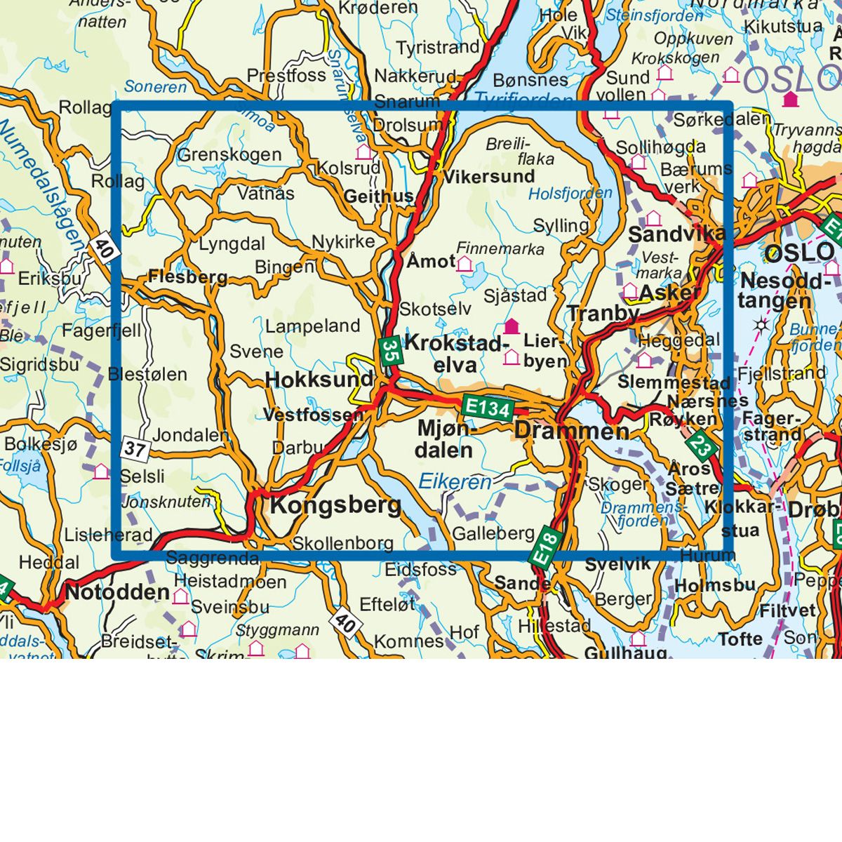
- The map covers Finnemarka, Vestmarka, Hokksund, Kongsberg og Holtefjell
- Scale 1:50 000 in water resistant material
€25.00
In stock
| Brand | Nordic Maps |
|---|---|
| SKU | 3016 |
| Map size | 70x100 cm |
| Scale | 1: 50 000 |
| Trails | Hiking trails |
| Updated | 2018 |
| Material | Plastic fiber |
| Map usage | Hiking, Cross Country |
| Accommodation | Serviced cabins, Unattended cabins, Self-catering cottages, hotels |
| EAN | 7040666030167 |
| Cabins in the map | Koboltkoia, Svarvestolen, Goliaten, Eiksetra, Garsjøkoia, Småvannsbu, Hovedhytta, Halvorsenhytta, Svartvannshytta, Mustadkroken, Jørgenhytta |
| Map both sides | Yes |
| Country | Norway |
| Destinations | Finnemarka, Vestmarka, Kjekstadmarka, Hokksund, Kongsberg, Holtefjell |
| Format | Foldable |
| Language | Norwegian, English |
| Series | Topo 3000 |
Topo 3000 is a detailed map that covers more than 3000 km2. Drammensmarka is a popular recreational area. Here you can find several ponds and lakes, perfect for fishing and swimming. Good starting points for hikes include the Eiksetra tourist cabin, Røyne, Landfalltjernet, Engersetra and Sponevollen. There is also a good network of ski trails in winter.
Topo 3000
Topo 3000 is a detailed trail 1:50,000 scaled map with information from the Norwegian Mapping Authority. The map includes hiking trails, skiing trails and overnight accommodations. Trekking information is in bold type for better legibility. The trail map covers more than 3000 km2 and has been adapted to include several popular trekking areas.
The maps are printed on durable and weatherproof plastic fibre or paper material.
The series is continuously being updated to four different languages: Norwegian, English, German and Dutch.