Norway
  Deutsch
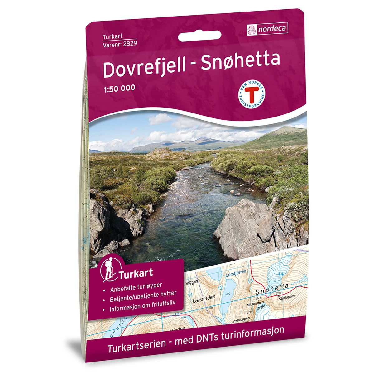

Dovrefjell Snøhetta DNT hiking map
Map with Norwegian Trekking Association information about trails and cabins.
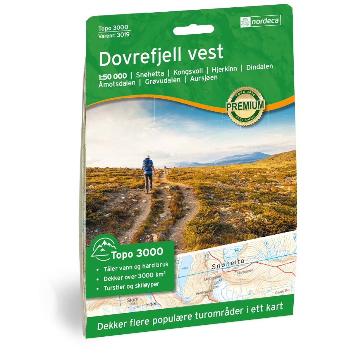
- The map covers Dovrefjell-Sunndalsfjella nasjonalpark, Hjerkinn og Snøhetta
- Scale 1:50 000 in water resistant material
€24.00
In stock
| Brand | Nordic Maps |
|---|---|
| SKU | 2829 |
| Map size | 70x100 cm |
| Scale | 1: 50 000 |
| Trails | Hiking trails |
| Updated | 2016 |
| Material | Plastic fiber |
| Map usage | Hiking, Cross Country |
| Accommodation | Serviced cabins, Unattended cabins, Self-catering cottages, hotels |
| EAN | 7046660028292 |
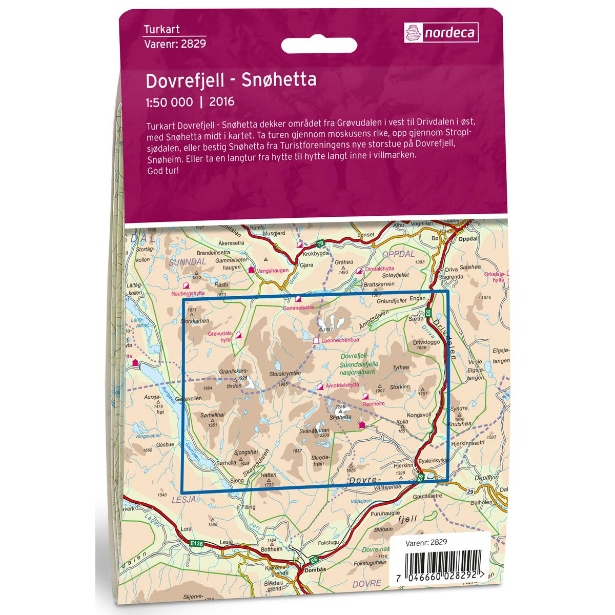
| Cabins in the map | Grøvudalshytta, Hjerkinn fjellstue, Hjerkinnhus, Snøheim, Kongsvold fjellstue, Reinheim, Åmotdalshytta, Loennechenbua |
| Partner | The Norwegian Trekking Association |
| Map both sides | No |
| Country | Norway |
| Destinations | Dovrefjell-Sunndalsfjella nasjonalpark, Åmotsdalen, Hjerkinn, Snøhetta, Grytdalen. |
| Format | Foldable |
| Language | Norwegian, English |
| Series | Hiking maps |
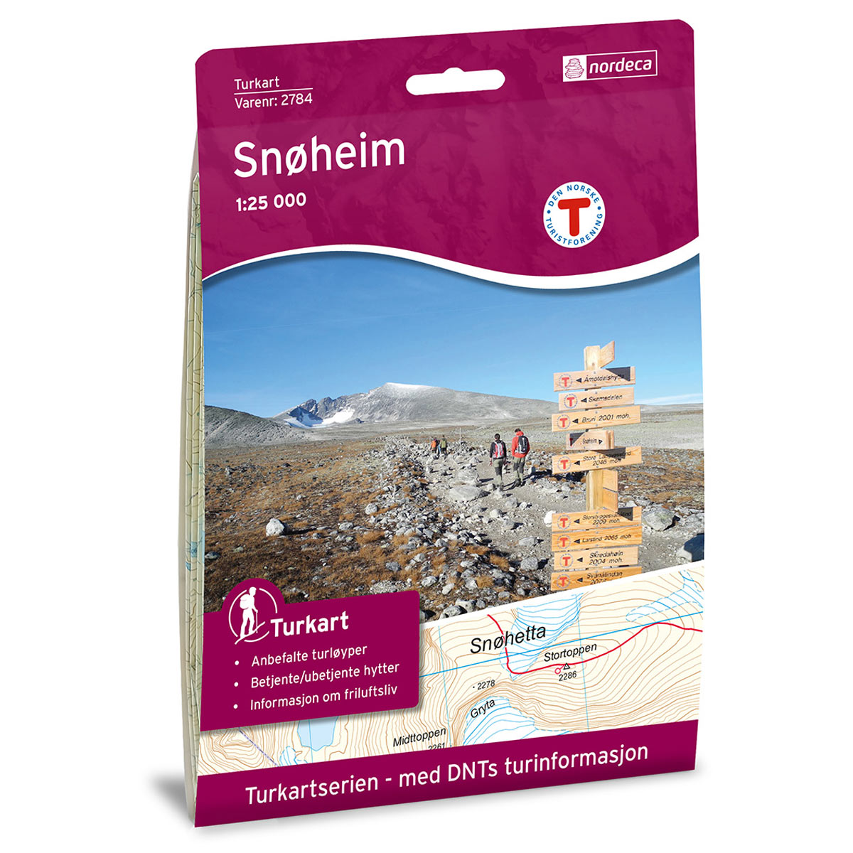
The Dovrefjell - Snøhetta Trail Map covers the area from Grøvudalen in the west to Drivdalen in the east, with Snøhetta mountain in the centre of the map. Take the trip through the kingdom of the musk oxen, up through Stroplsjødalen, or climb Snøhetta from the Norwegian Trekking Association’s new Snøheim lodge in Dovrefjell. Or take a long hike from cabin to cabin through the wilderness.
DNT hiking maps
This map series was developed in cooperation with The Norwegian Trekking Association (DNT) and contains DNT trails, cabins and other useful trekking information. A few of the maps also have ski trails.
The DNT maps are published in three different scales (levels of detail).
1:25 000 for more defined and detailed information. Suitable for shorter treks.
1:50 000 is the optimal scale for treks.
1:100 000 offers a good overview of larger areas and is useful when planning trips.
The maps are printed on durable and weatherproof plastic fibre or paper material.
Language: Norwegian and English