
 Norway
  Deutsch
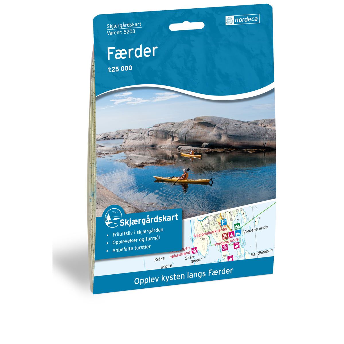
Coastal maps Færder
Coastal map for paddlers, fishermen and hikers.
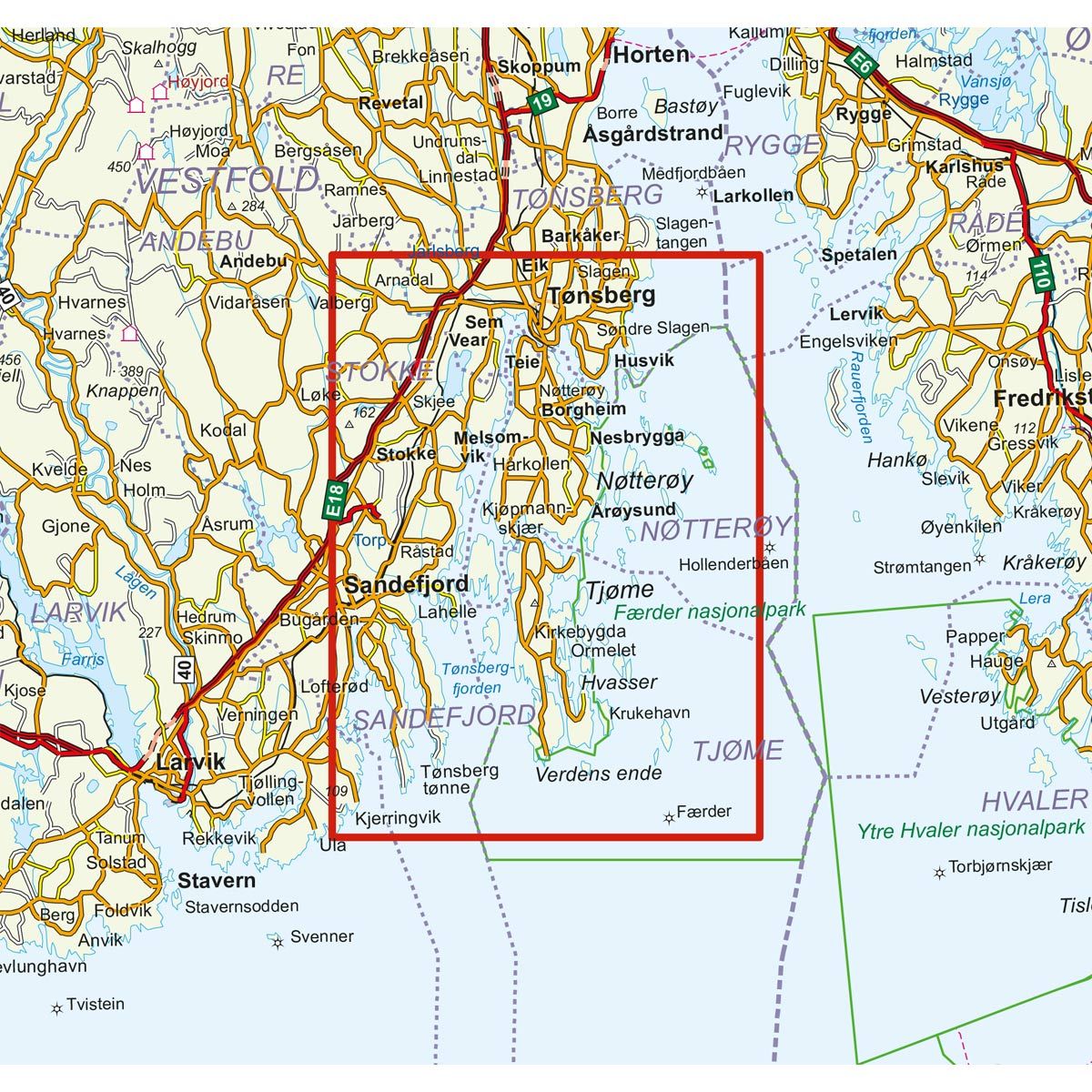
- The map covers Færder, Nøtterøy, Sem, Tjøme, Torp, Tønsberg og Vestfold
€23.00
In stock
| Brand | Nordic Maps |
|---|---|
| SKU | 5203 |
| Map size | 70x100 cm |
| Scale | 1: 25 000 |
| Trails | coastal Trails |
| Updated | 2016 |
| Material | Plastic fiber |
| Map usage | Hiking, Paddling |
| Accommodation | Sea Cabins |
| EAN | 7046660052037 |
| Cabins in the map | Rønningen, Kommandantboligen, Fulehuk fyr, Søndre Tenvik, Ildverket, Startbua, Tjønneberget, Buerøya, Hovedhytta Gokstadholmen, Drengestua Gokstadholmen |
| Map both sides | No |
| Country | Norway |
| Destinations | Færder, Nøtterøy, Sem, Tjøme, Torp, Tønsberg, Vestfold |
| Format | Foldable |
| Language | Norwegian |
| Series | Coastal maps |
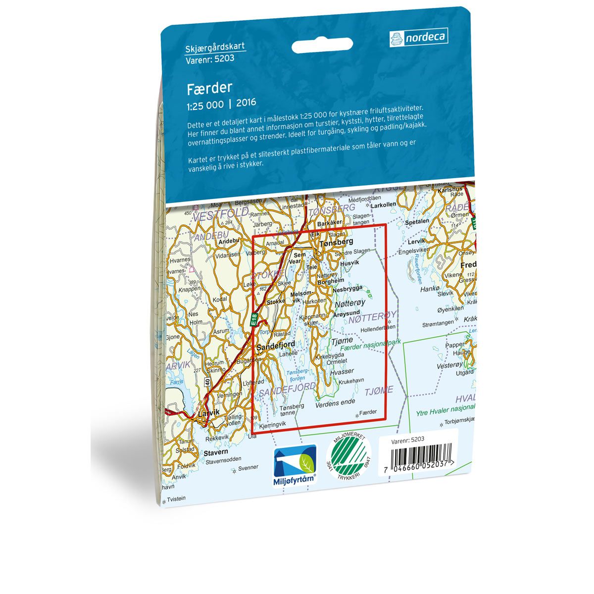
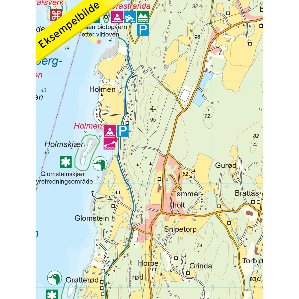
The Coastal map provides an overview of all outdoor activities and experiences along the coast. You can find information regarding the Coastal Trails and the Kystledhyttene (Coastal cabins), destinations, areas adapted for outdoor recreation, campgrounds, services and public transport along the coast. The map is ideal for hiking, walking, cycling, paddling, fishing, swimming and diving. Here you can also find campfire sites. The Coastal Trail is a continuous trail that primarily runs along the sea, although in some spots it may be drawn further in toward land. Within the area covered by the map are many popular routes and destinations. Moutmarka and Hvasser on Tjøme, Bolærne islands, Østøya and Vesterøya islands in Sandefjord, Trælsodden outside Melsomvik and Grevestien in Tønsberg are all recommended hiking routes for enjoying the coastal landscape. The marked sections of the Coastal Trail are drawn as a solid line in the map. Dotted lines indicate that the Coastal Trail is not marked, but still a recommended or natural route to take. The Nøtterøy-Veierland ferry transports passengers and bicycles from Tenvik on Nøtterøy to the island of Veierland in the Tønsberg Fjord, between Vestgården and Tangen ferry landings. In summer, the ferry makes stops at Engø. Veierland is a car-free island, perfect for walking, cycling, swimming, etc. The Tønsberg-Bolærne M/S Viksfjord ferry has a summer route between Tønsberg and the Bolærne islands from May to September. During high season, there are several daily departures. During the pre- and post-season, there are only weekend departures.
Coastal maps
The Coastal maps are detailed maps at a scale of 1:25,000 for coastal recreational activities and experiences. Here you can find information about hiking trails, coastal paths, cabins, overnight accommodations and swimming areas. It also includes information about public transport along the coast. The maps are ideal for hiking, cycling, paddling and kayaking.
The maps are printed on durable and weatherproof plastic fibre or paper material.
Language: Norwegian and English