Norway
  Deutsch
 Norways largest map manufacturer

Buy Norwegian Hiking maps, Sightseeing Guides ,Road maps and Boating maps
We have the biggest selection of Norwegian maps !
About Kartbutikken/Nordic Maps AS
With more than 20 years of experience, we are today the largest manufacturer and publisher of maps for the Norwegian market. Our trademark reflects our solid Nordic anchorage and long history as a provider of maps. We provide maps to the largest book and sports chains, as well as to marinas, tourist offices and gas stations. Nordic Maps AS cooperates with a number of major organizations such as the Norwegian Trekking Assosiation(DNT), Redningselskapet (RS), Vegvesenet and Visit Norway to offer unique content with optimal quality on all maps . Buy our maps online on this site! We ship globally.
Our map series
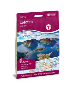
Norwegian Hiking maps
We have 3 different hiking map series.
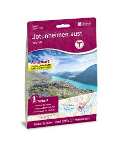
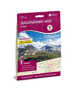
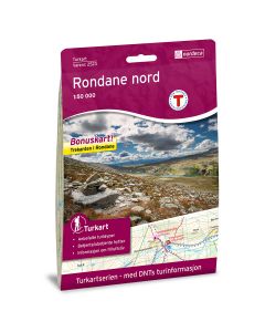
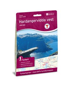
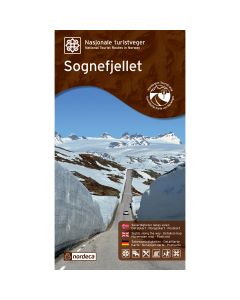
Norwegian Hiking maps created in cooperation with the Norwegian Trekking Assosiation(DNT)
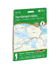
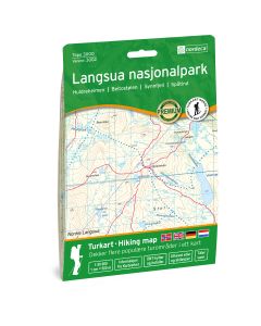
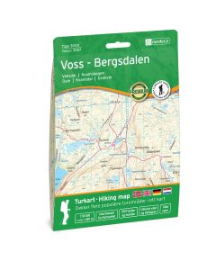
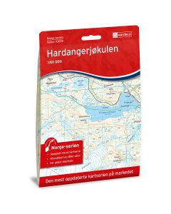
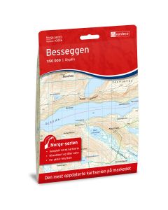
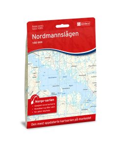
Hiking maps created in cooperation with the Norwegian Trekking Assosiation(DNT). The National Turkart series covers the most popular hiking areas in Norway. The series is published in cooperation with the Norwegian Tourist Association (DNT) and includes, among other things, their trails and cabins in addition to much other local tour information. The maps are predominantly scale 1:50 000, which is a suitable measure for hiking. In addition, there are titles of 1:25 000 for even clearer readability in specially selected and popular hiking areas, as well as 1: 100,000 suitable for planning.
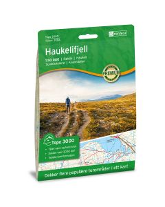
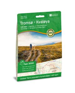
Topo 3000
Each map covers more popular hiking areas!
The Topo 3000 is a 1:50 000 series of maps that contains all the details of the Mapping N50 data, with hiking trails and accommodations highlighted for even better readability. In the map, the trails are clearly marked in red color, so it is easy to see where the trails cross the mountain, through the forest or where they follow the road. Each map covers over 3000 km2 and is located to cover more popular hiking areas in a map. The maps are made of durable and weatherproof plastic fiber material.
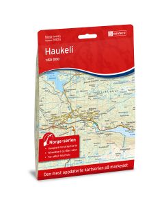
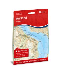
Norway Series
The plastic map series that covers Norway!
Map data on scale 1:50 000 is taken from the Mapping Authority. The series consists of 195 map titles and the division is such that it is 2 km overlap between the map sheets. The maps are suitable for hiking and hiking in the mountains, in the woods, along the coast and for hunting and fishing. For professional businesses, the Norway series provides the necessary knowledge of terrain and geography for planning and practice. The maps are made of durable and weatherproof plastic fiber material.
Norwegian Guides
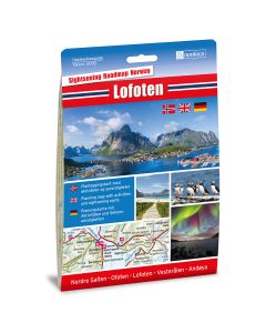
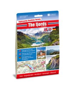
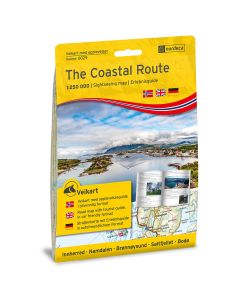
Sightseeing Guides With Sights and attractions (blue)
Sightseeing Guides is a series of Nordic Maps AS series launched in 2017. The guides contain detailed maps with reference to attractions and sights to be visited. On the back of the maps are information on what to see and experience along the way, with descriptive text and illustrations. The maps are perfect for planning your car holiday in Norway. Read about the attractions you want to visit and set up the trail with the detailed road map.
Car Guides for Norway Small format with Sights and attractions (Yellow)
In January 2018, Nordic Maps AS launched a new 9-title series of series based on the Experience Guides. These road maps with tourist attractions have a more handy format for use in cars and while traveling because the map sheet is smaller, but with maps on both sides, while tourist attractions are gathered in a booklet next to it.
Norwegian road maps
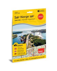
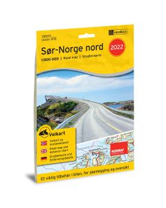
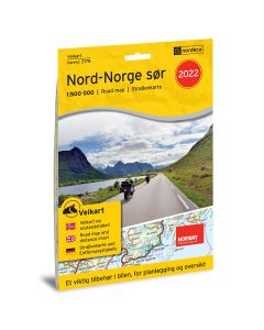
Norwegian roadmaps and atlas
The five regional maps, overview maps of Norway and Denmark and the two map books are suitable for planning the drive and are an important accessory in the car. The maps provide a good overview and contain a lot of useful information for road users. In the maps you will find all gas stations and quick charging stations for electric cars, ferry crossings and a variety of nature and cultural attractions. The products are in three languages - Norwegian, English and German.
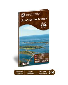
Norwegian senic routes with Sights and attractions
The series offers great experiences along the way. The series includes 18 titles, one for each of Vegvesen's defined National Tourist Roads, on varying scale. Spectacular views, nature experiences, attractions and sights are described in the map and with exclusive pictures. The maps are suitable for Norwegian as well as foreign tourists and are in three languages - Norwegian, English and German.
See all Norwegian Senic routes
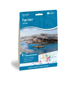
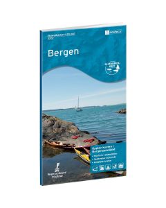
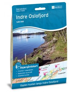
Norwegian costal maps
Norwegian costal maps for paddling fishing and hiking
Costal maps are detailed maps in scale 1:25 000 for coastal outdoor activities and experiences. Here you will find information about hiking trails, coastal paths, cabins, accomodations and beaches bathing places. In addition, there is information about public communication in the archipelago. Ideal for walking, cycling and kayaking kayaking.