Norway
  Deutsch
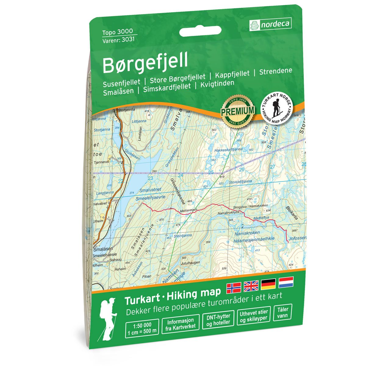


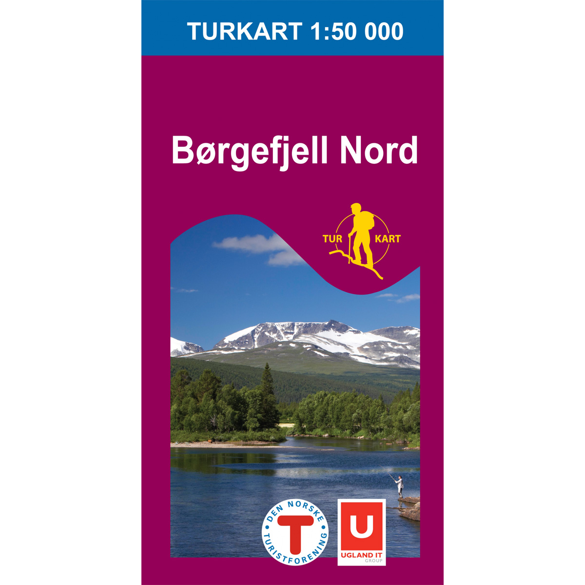
Børgefjell Topo 3000 Hiking map
Covers popular trekking areas with highlighted trekking information
- Scale 1:50 000 in water resistant material
€25.00
In stock
| Brand | Nordic Maps |
|---|---|
| SKU | 3031 |
| Map size | 70x100 cm |
| Scale | 1: 50 000 |
| Trails | Hiking trails |
| Updated | 2020 |
| Material | Plastic fiber |
| Map usage | Hiking, Cross Country |
| Accommodation | Serviced cabins, Unattended cabins, Self-catering cottages, hotels |
| Cabins in the map | Tjåkkelestugorna, Åtnikstugan |
| Map both sides | Yes |
| Country | Norway |
| Destinations | Susenfjellet, Store Børgefjellet, Kappfjellet, Strendene, Smalåsen, Simskardfjellet, Kvigtinden |
| Format | Foldable |
| Language | Norwegian, English, German, Dutch |
| Series | Topo 3000 |
Topo 3000 is a detailed map covering over 3000 km2. In the Børgefjell massif we find Kvigtinden 1699 meters above sea level. It is a popular and demanding top trip. From the top you can see all the way to the south end of the border of Børgefjell National Park, the north end of Store Namsvatnet and Vestre and Austre Tiplingen. A good starting point is the Simskardet car park. Here you will find trips such as: Wilderness life in the waiting 50 km, Top trip to Kuklumpen 4.1 km, Børgefjell across 43 km.
Topo 3000
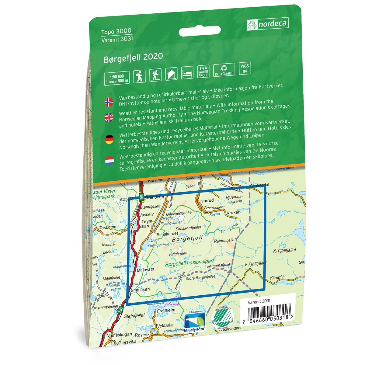
Topo 3000 is a detailed trail 1:50,000 scaled map with information from the Norwegian Mapping Authority. The map includes hiking trails, skiing trails and overnight accommodations. Trekking information is in bold type for better legibility. The trail map covers more than 3000 km2 and has been adapted to include several popular trekking areas.
The maps are printed on durable and weatherproof plastic fibre or paper material.
The series is continuously being updated to four different languages: Norwegian, English, German and Dutch.