
 Norway
  Deutsch
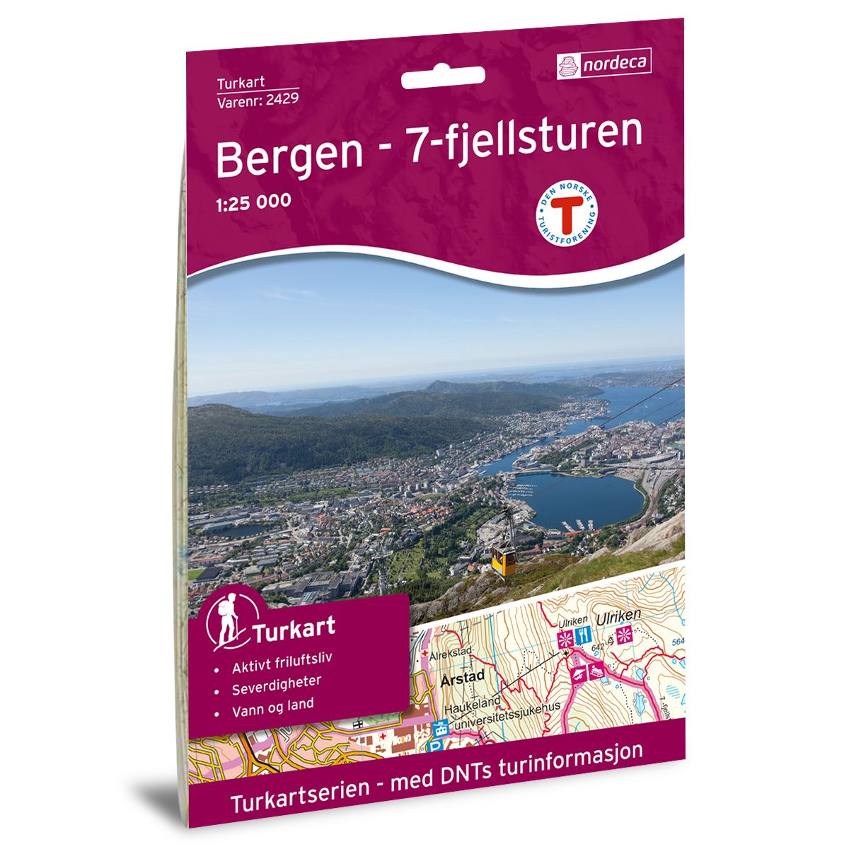
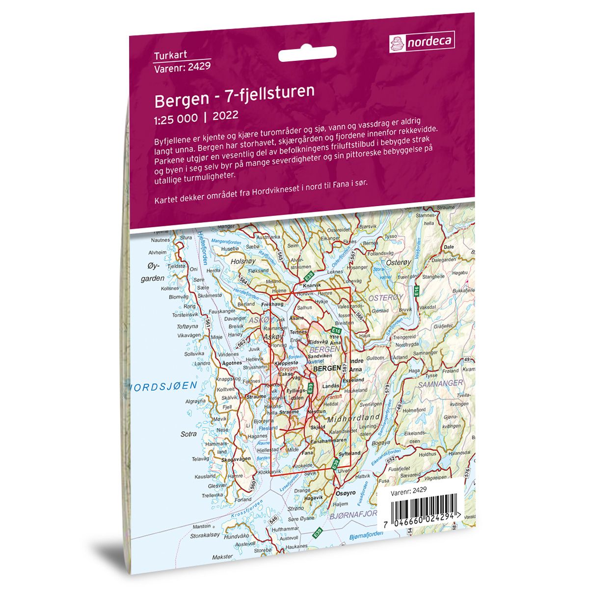
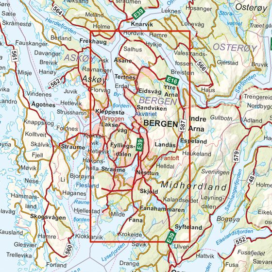

Bergen - 7-Fjellsturen DNT hiking map
Map with Norwegian Trekking Association information about trails and cabins.
- The map covers Arna, Bergen, Frekhaug, Hordaland, Kleppestø og Lonevåg
- Scale 1:25000 in water resistant material
€24.00
In stock
| Brand | Nordic Maps |
|---|---|
| SKU | 2429 |
| Map size | 70x100 cm |
| Scale | 1: 25 000 |
| Trails | Hiking trails |
| Updated | 2022 |
| Material | Plastic fiber |
| Map usage | Hiking |
| Accommodation | Serviced cabins, Unattended cabins, Self-catering cottages, hotels |
| EAN | 7046660024294 |
| Partner | The Norwegian Trekking Association |
| Map both sides | No |
| Country | Norway |
| Destinations | Arna, Bergen, Frekhaug, Hordaland, Kleppestø, Lonevåg |
| Format | Foldable |
| Language | Norwegian, English |
| Series | Hiking maps |
Byfjellene, the mountains around Bergen, have popular trekking areas, with lakes, waterfalls and the sea nearby. Bergen has the open sea, archipelagos and fjords all within easy access. Its parks are an important part of the city’s recreational activities in populated areas, and the city itself offers numerous attractions, including picturesque buildings along countless walking routes. The map covers the area from Hordvikneset in the north to Nordåsvatnet in the south.
DNT hiking maps
This map series was developed in cooperation with The Norwegian Trekking Association (DNT) and contains DNT trails, cabins and other useful trekking information. A few of the maps also have ski trails.
The DNT maps are published in three different scales (levels of detail).
1:25 000 for more defined and detailed information. Suitable for shorter treks.
1:50 000 is the optimal scale for treks.
1:100 000 offers a good overview of larger areas and is useful when planning trips.
The maps are printed on durable and weatherproof plastic fibre or paper material.
Language: Norwegian and English
