
 Norway
  Deutsch
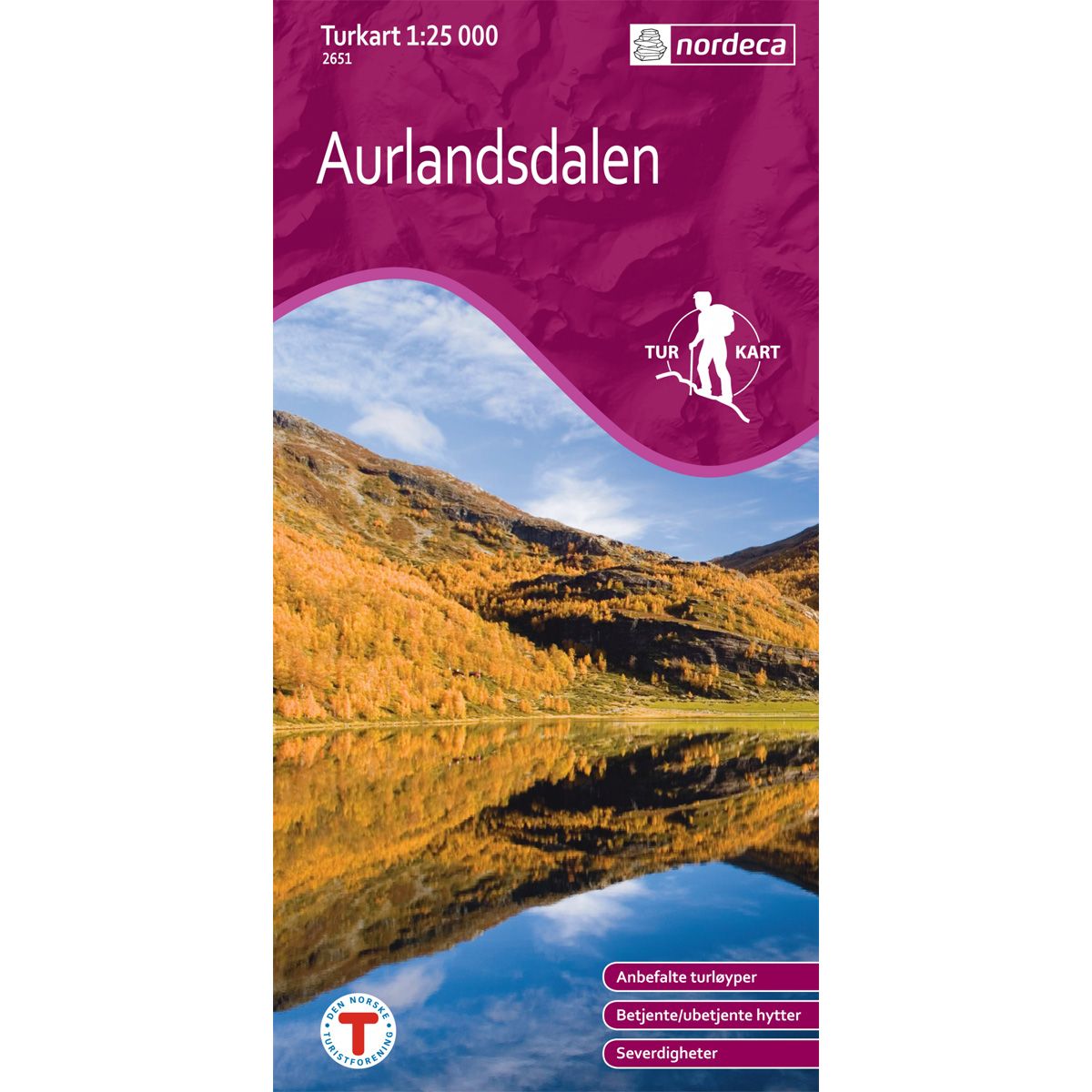
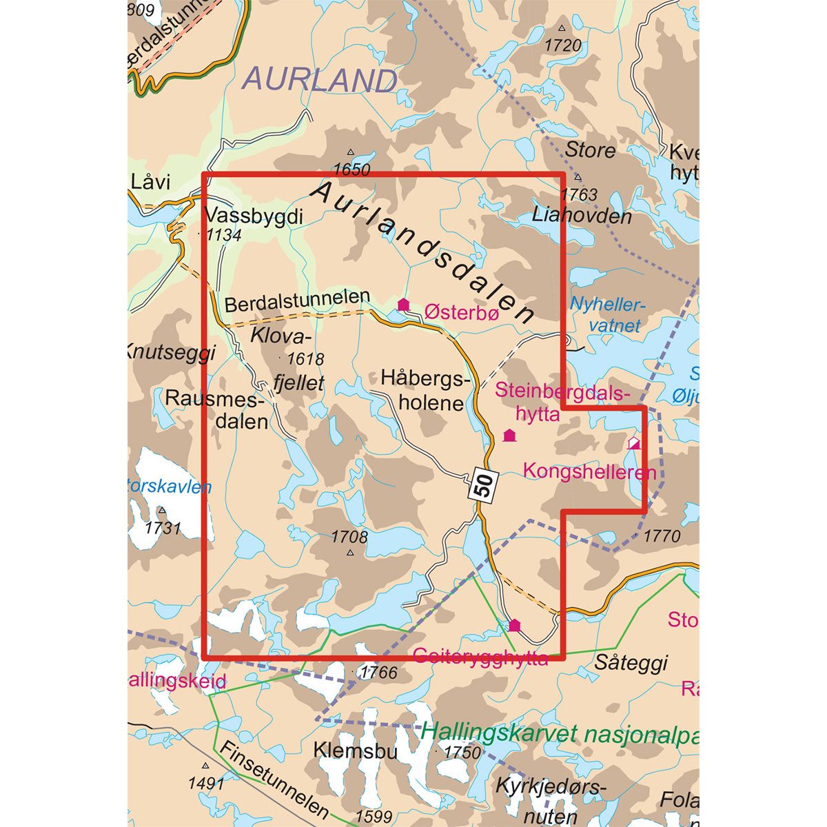


Aurlandsdalen Østerbø DNT hiking map
Map with Norwegian Trekking Association information about trails and cabins.
Special Price
€20.00
Regular Price
€24.00
Out of stock
| Brand | Nordic Maps |
|---|---|
| SKU | 2651 |
| Map size | 70x100 cm |
| Scale | 1: 25 000 |
| Trails | Hiking trails |
| Updated | 2011 |
| Material | Paper |
| Map usage | Hiking |
| Accommodation | Serviced cabins, Unattended cabins, Self-catering cottages, hotels |
| EAN | 7046660026519 |
| Partner | The Norwegian Trekking Association |
| Map both sides | No |
| Country | Norway |
| Destinations | Aurlandsdalen |
| Format | Foldable |
| Language | Norwegian, English |
| Series | Hiking maps |
Beschreibung
DNT hiking maps
This map series was developed in cooperation with The Norwegian Trekking Association (DNT) and contains DNT trails, cabins and other useful trekking information. A few of the maps also have ski trails.
The DNT maps are published in three different scales (levels of detail).
1:25 000 for more defined and detailed information. Suitable for shorter treks.
1:50 000 is the optimal scale for treks.
1:100 000 offers a good overview of larger areas and is useful when planning trips.
The maps are printed on durable and weatherproof plastic fibre or paper material.
Language: Norwegian and English