
 Norway
  Deutsch
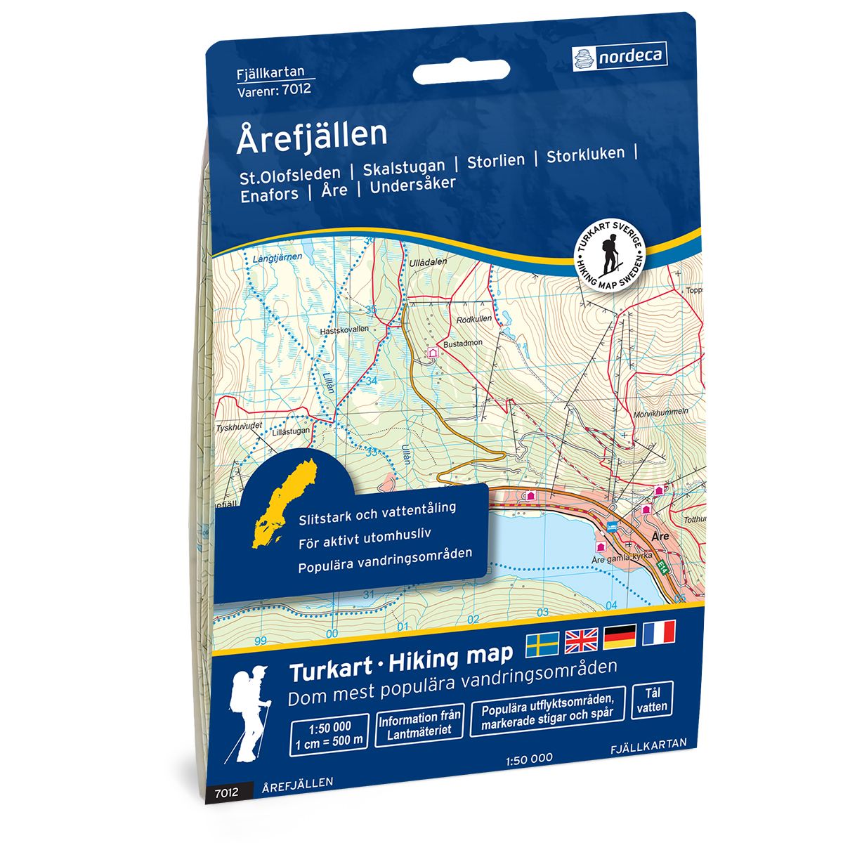
Årefjällen Swedish hiking map
Covers popular hiking areas with highlighted hiking information
- The map covers Storlien, Enafors, Åre
- Scale 1:50 000 in water resistant material
€25.00
In stock
| Brand | Nordic Maps |
|---|---|
| SKU | 7012 |
| Map size | 70x100 cm |
| Scale | 1: 50 000 |
| Trails | Hiking trails |
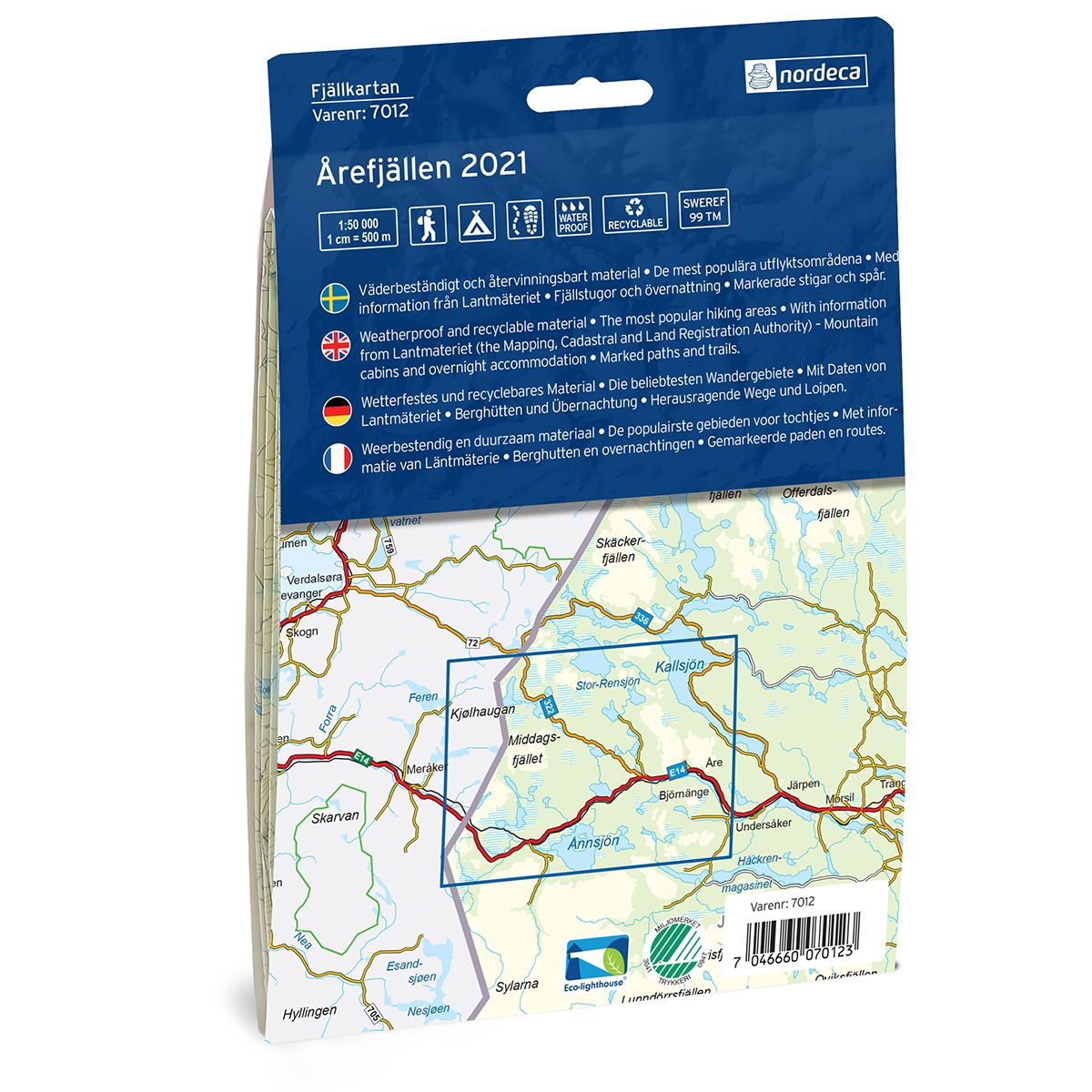
| Updated | 2021 |
| Material | Plastic fiber |
| Map usage | Hiking, Cross Country |
| Accommodation | Cabins |
| Map both sides | Yes |
| Country | Sweden |
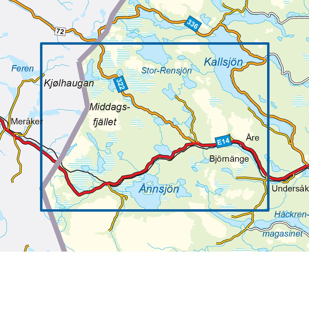
| Destinations | Storlien, Enafors, Åre, Undersåker, Handöl, Klocka, Teveldalen, Medstugan, Trillevallen, Duved, Åre, Huså, Kall, |
| Format | Foldable |
| Language | English, German, Dutch, Swedish |
| Series | Swedish Mountain Map |
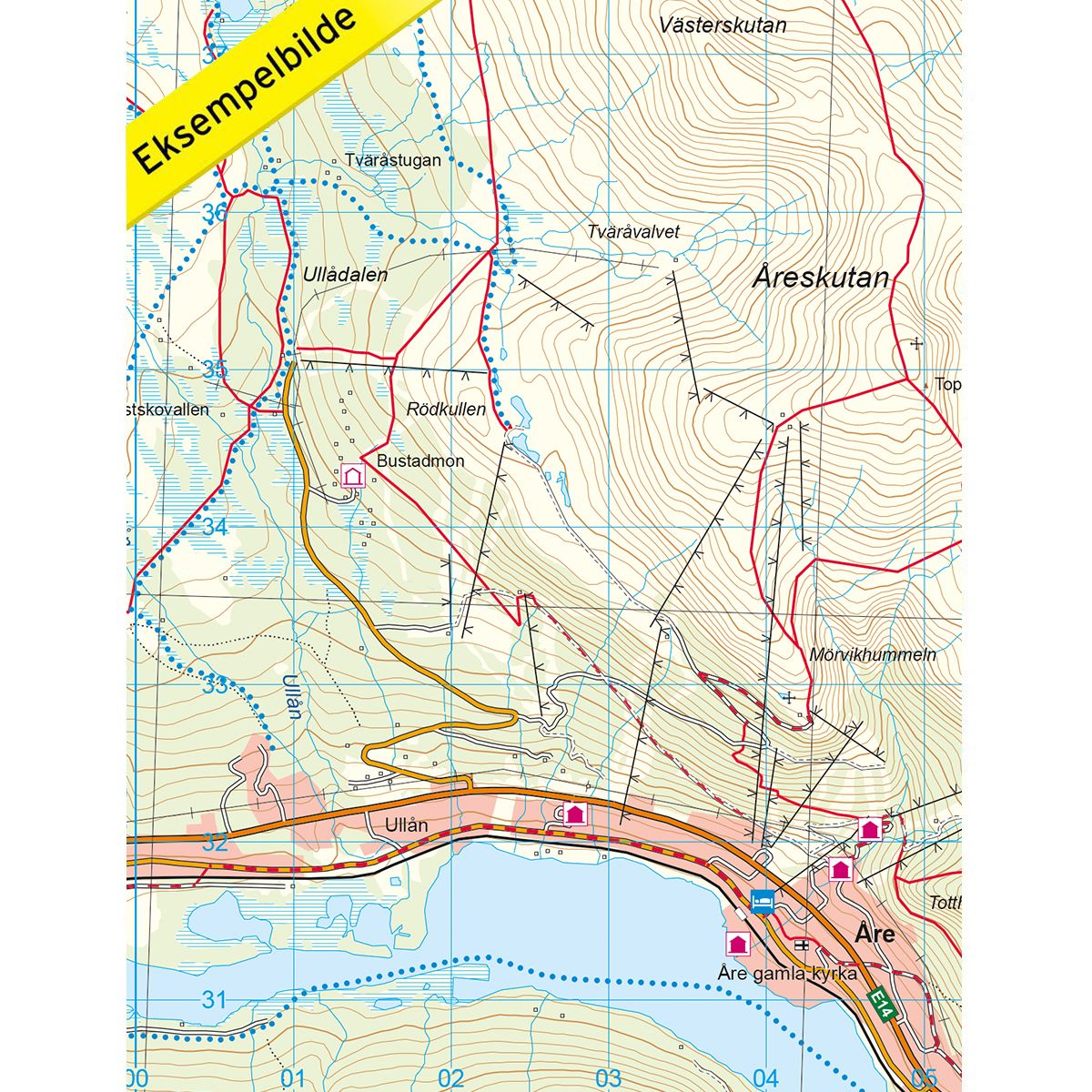
Mountain map Årefjällen is a detailed map that covers more than 3000 km2. This includes trails, mountain lodges and cabins in the area, which are clearly marked on the map. The map covers the Norwegian side of the national border in the west by Teveldalen and further into Sweden and Storlien, to the popular winter destination of Åre in the east. The Åre Ski Resort is the perfect place for ski enthusiasts. Årefjällen offers easy beginner trails, but also more challenging routes. Åreskutan, Mörvikshummeln and Totthummeln are all marvellous areas for hiking and skiing, and are well worth a visit in the Åre region. The map also covers Trillevallen, which is a high-mountain region with fantastic skiing opportunities and lovely hiking and cross-country ski trails. Enafors and Storlien are good starting points for exploring the Årefjällen area. Mountain lodges and cabins are located on the map at the following sites: Storlien, Enafors, Trillevallen, Hållfjället and Edsåsen. Ferslia and the Angeltjønn cabin are located on the Norwegian side of the border.
Swedish hiking maps is a hiking map series on a scale of 1:50 000 with information from Lantmäteriet and the Mapping Authority. The maps contain hiking trails, ski trails and accommodations. The tour information is highlighted for even better readability. The hiking map covers over 3000 km2 and is adapted so that it covers several popular hiking areas.
The series is available in four languages, Swedish, German, English and Dutch.
The maps are printed on durable and weather-resistant plastic fiber material
The series is available in four languages, Swedish, German, English and Dutch.
The maps are printed on durable and weather-resistant plastic fiber material