Norway
  Deutsch
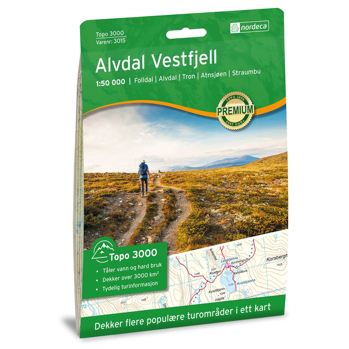
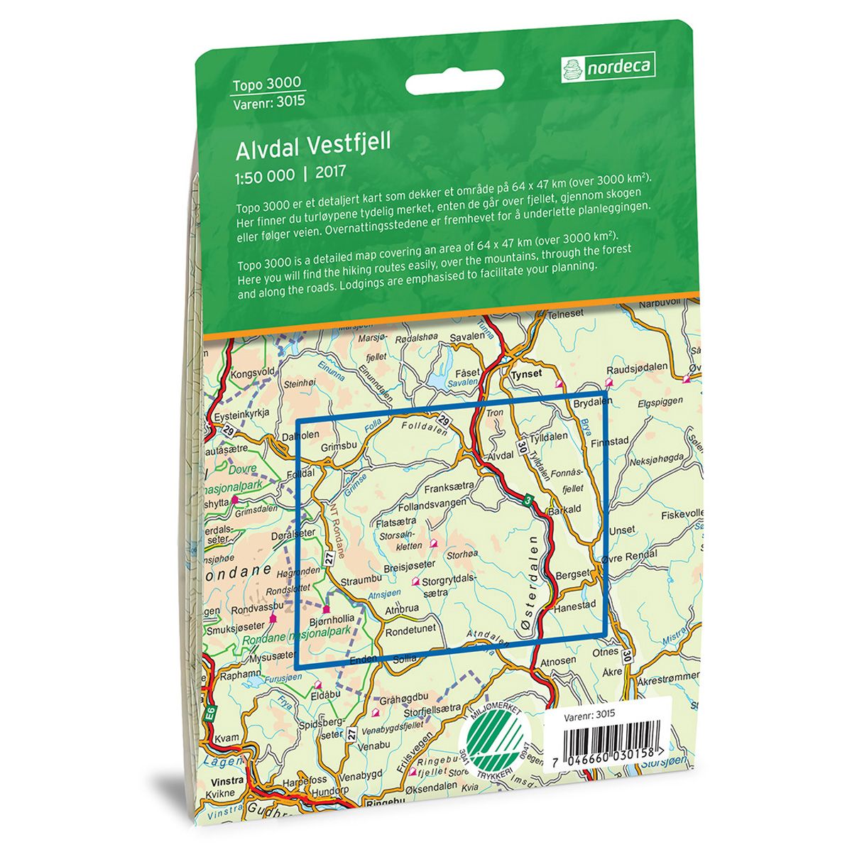

Alvdal Vestfjell Topo 3000 hiking map
Covers popular trekking areas with highlighted trekking information
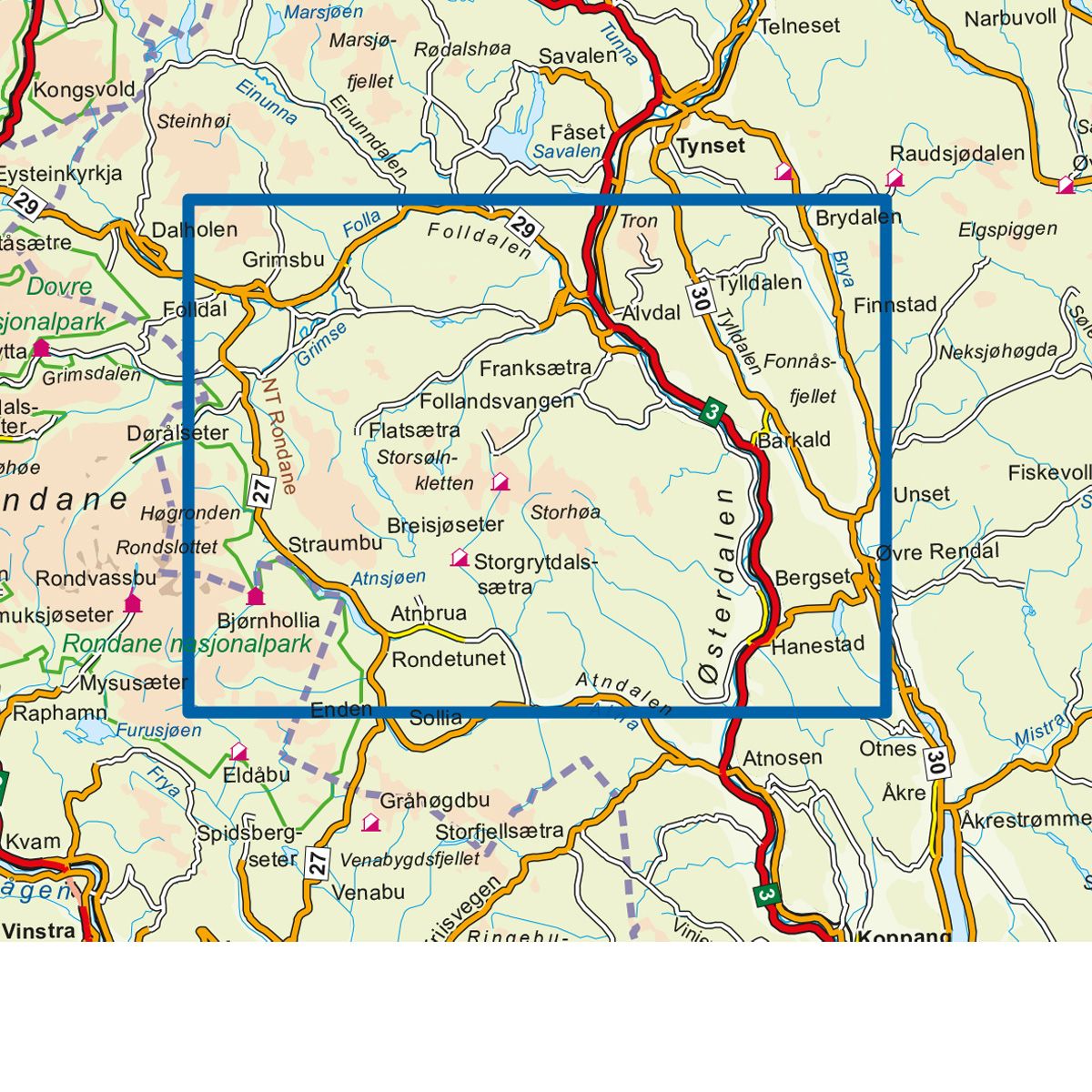
- The map covers Folldal, Alvdal, Tron, Atnsjøen og Straumbu
- Scale 1:50 000 in water resistant material
€25.00
In stock
| Brand | Nordic Maps |
|---|---|
| SKU | 3015 |
| Map size | 70x100 cm |
| Scale | 1: 50 000 |
| Trails | Hiking trails |
| Updated | 2017 |
| Material | Plastic fiber |
| Map usage | Hiking, Cross Country |
| Accommodation | Serviced cabins, Unattended cabins, Self-catering cottages, hotels |
| EAN | 7046660030158 |
| Cabins in the map | Breisjøseter, Bjørnhollia, Korsberghytta, Storgrytdalseter, Folldal fjellhotell, Rondane friluftssenter |
| Map both sides | Yes |
| Country | Norway |
| Destinations | Folldal, Alvdal, Tron, Atnsjøen, Straumbu |
| Format | Foldable |
| Language | Norwegian, English |
| Series | Topo 3000 |
Topo 3000 is a detailed map that covers more than 3000 km2. Alvdal Vestfjell is a quiet and pleasant mountain region well-suited for both shorter and longer treks, or hikes to the peaks. A couple of popular routes are Straumbu to Breisjøseter and Flatseter to Breisjøseter. Good starting points include the Atnasjø café, Straumbu, Flatseter and Kvislåsætra. This has a varied natural landscape and the area has an extensive trail network with many great routes for both summer and winter.
Topo 3000
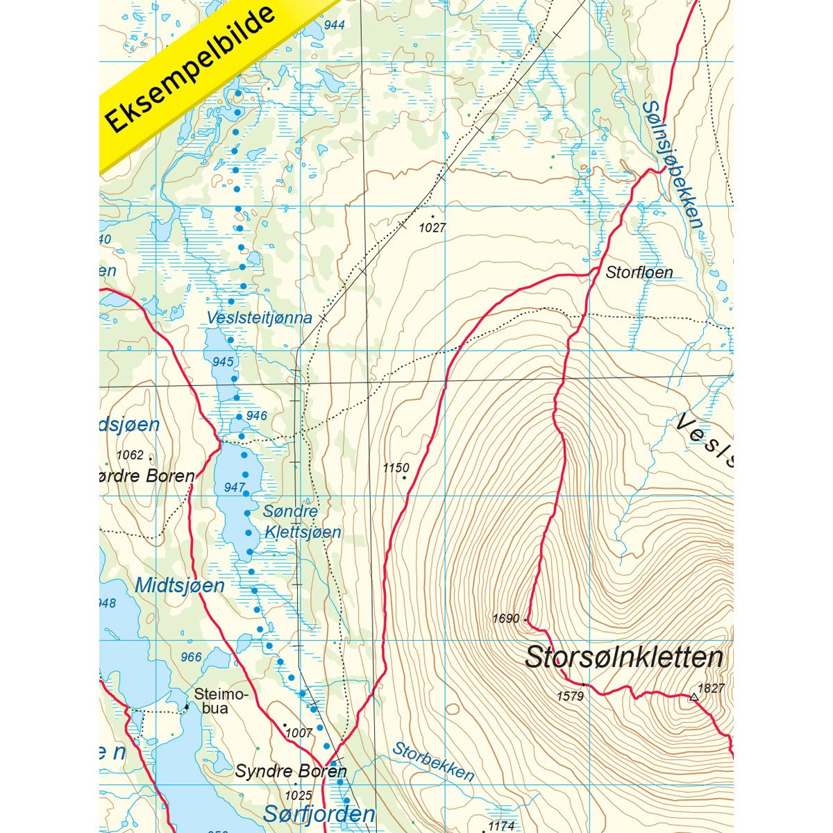
Topo 3000 is a detailed trail 1:50,000 scaled map with information from the Norwegian Mapping Authority. The map includes hiking trails, skiing trails and overnight accommodations. Trekking information is in bold type for better legibility. The trail map covers more than 3000 km2 and has been adapted to include several popular trekking areas.
The maps are printed on durable and weatherproof plastic fibre or paper material.
The series is continuously being updated to four different languages: Norwegian, English, German and Dutch.